A feature that got organized along the Gulf Coast last weekend threatened to bring some showers and storms as far north as Joplin, but alas, that was not the case. Well, sure, there were a few sprinkles on the 15th, even a rumble of thunder, but it wasn’t a washout, and that rain didn’t return on Saturday. There were plenty of clouds, though, and a little surge of cooler air, keeping temperatures below forecasts on every verifying period except the Friday low, in which the clouds kept things a bit warmer overnight. There was a tie at the top, between The Weather Channel and Accuweather. Actuals: Friday, .05 inches of rain, High 69, Low 50 Saturday – High 60, Low 45
Everyone loves to talk about the weather, as I’m sure you do (you’re here at this site, after all) but depending on where you are this April, you might have a decidedly different conversation. If you are in the southern US, you are probably talking about how stormy this year has been. In the north, you probably can’t get over how chilly things have remained all spring.
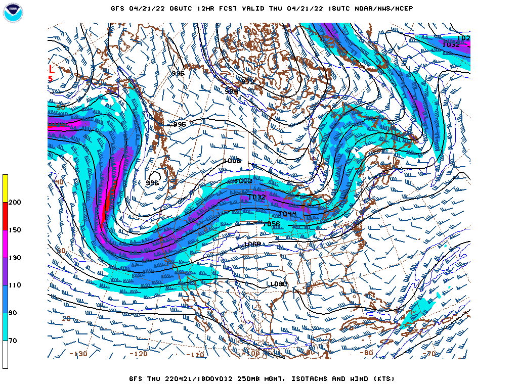
For an explanation, we need to look even bigger than we usually do, beyond the confines of the Contiguous US. The answer lies in the jet structure across the United States. As you may already be aware, bigger features are more challenging to move in the atmosphere, and there is an enormous trough that keeps recycling and sustaining itself, and the base of that trough has run across the northern United States.
Take a look at the big picture, the jet forecast for this afternoon.
Typically, if I am looking at the US forecast, I would note the deep trough coming to the west coast was, or even noting the ripple in the northern Great Lakes, but when taking into account the spring writ large thus far, and unfortunately for the coming weeks, the immediate notice is that the larger waves are the ridges bracketing the United States.
There are semi-permanent features in the ocean, certainly, including the Bermuda High, and the existence of the ridges are not unusual. Some things that are factoring into making this spring unusual is the amplitude of the trough over North America. It should be starting to retreat into Canada, bringing some calm to the south, and allowing warmth to filter back north, but the mean trough is instead littered with localized troughs like the one set to upset this weekend.
Another peculiarity is how weak the trough in the Gulf of Alaska is. The Aleutian Low is as permanent s the Bermuda High, but right now, and for a while, this feature has been replaced by transient features moving into the Pacific Northwest. This gives this larger continental wave more breadth, and makes it more difficult to move.
With the mean trough over the US running through the northern tier of states, it is penning cold air that same swath of the country. On the same note, the sun is getting stronger, so warmth is building south of the jet. This clash of air masses at the surface, when coupled with the relatively shorter waves moving across the nation, is making for an active storm season, and a chilly spring, depending on what side of the divide you are on. Eventually, the pattern will break, but there isn’t an immediate sign of that happening quite yet.
It’s been a slow start to the year, especially when it comes to reviewing our months of work. We have February and March to check in on, so let’s not waste time!
February was a very well contested month in the handful of forecasts we had. There was one outlet that lagged well behind, but we won’t embarrass them. Instead, we will point to Weatherbug, who had the solid victory in the month of February.
March was a little bit more snug at the top. Weatherbug was pipped in the end, with only half a point to spare. Good news on this tax day, as the National Weather Service took our tax dollars and turned it into a monthly W.
An advancing system in the Pacific Northwest was poised to bring some changing wind conditions in northern California earlier this month, and along with those changing vectors, the temperature in San Francisco was poised to bounce around. It bounced much higher than expected on Thursday the 7th, hitting a record high of nearly 90. things were more reasonable on Friday, reaching the upper 60s and feeling a bit more San Franciscan. The Weather Service and Weathernation altered their forecasts a bit, but still managed to come together for a victory. Actuals: April 7th, High 89, low 56 April 8th, High 69, Low 52
It’s time for another road trip. We’re just going to take one day to head from Alabama to Missouri, crossing the Mississippi River and trying to dodge rain drops. It’s a 659 mile journey that we will cover at a pace of about 64.3mph, which is slowed by Memphis and not spending as much time as we would like on arterial interstates.
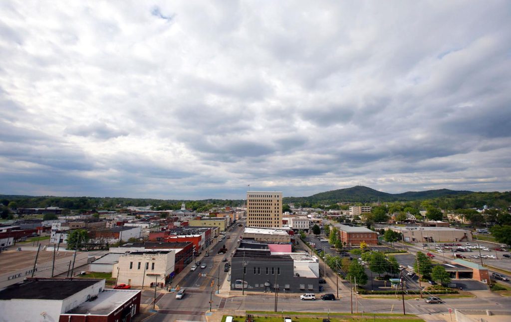
Anniston, Alabama
High pressure will be in retreat over the southern US, but it will still be comfortably in place in northern Alabama and Mississippi tomorrow. Dry skies with mostly sunny conditions will guide us through Birmingham and Tupelo, but an organizing system in Louisiana will start to kick some clouds north by the time we reach Memphis. Don’t be surprised if there are a few spits of rain starting around Hardy, Arkansas, which may linger the rest of the way through the Missouri Ozarks. North of the highest terrain, from Springfield to Joplin, it should be a bit drier, but the chances for rain are certainly not going to be zero.
The tornado season has been off to a lively start. 2022 has already seen deadly tornadoes, most notably in Winterset, Iowa last month, but fortunately, we haven’t had any that were historic in their catastrophe. As we forecast in Joplin, however, it’s a reminder for all of us to be prepared, especially this time of year, and in this part of the country.
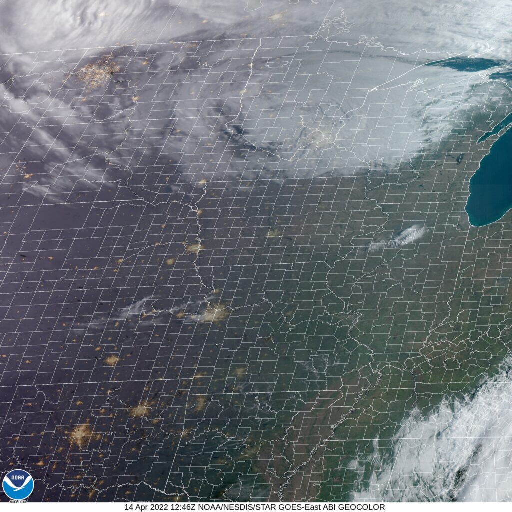
At 753AM, CT, Joplin was reporting clear skies and a temperature of 33 degrees. the late season cold, amid clear skies behind a strong cold front has lead to many frost and freeze advisories in western Missouri, northwest Arkansas, Kansas and Oklahoma. The large area of low pressure responsible for the adventuresome weather in the middle of the country this week is now parked over the Great Lakes. The only satellite evidence in the Plains is a few puffs of clouds from Rockford, Illinois to Topeka Kansas, which will likely not develop into anything, and will certainly leave Joplin alone. Fortunately, with spring having arrived, the clear skies will mean a warming trend, even with the cold air mass presently in southwest Missouri. A deep trough lies over the northern US, fostering the strong feature referenced earlier, but another ridge is rising through the southern Rockies. By Friday evening, convergence area of the two jets will become active with showers and isolated storms, with low pressure developing in the Lower Mississippi Valley. This will be primarily flow driven, rather than air mass driven, so cold air is not going to arrive in Joplin on Saturday. Because of that, the northwest flank of the storm will still feature a little bit of convection, intermittently on Saturday. Tomorrow – Increasing clouds, with an isolated shower. Chances increasing late. High 71, Low 45 Saturday – Showers with isolated thunderstorms, mostly cloudy, High 64, Low 48
TWC: Tomorrow – Rain showers in the morning with scattered thunderstorms arriving in the afternoon. High 73, Low 50 Saturday – Sunshine and clouds mixed. High 63, Low 47
AW: Tomorrow – Breezy in the morning; otherwise, cloudy with a shower in spots in the afternoon High 70, Low 49 Saturday – Mostly cloudy and breezy with a passing shower High 63, low 47
NWS: Tomorrow – A 30 percent chance of showers and thunderstorms after 8am. Mostly cloudy, High 72, low 49 Saturday – Mostly sunny (early rain), High 61, Low 40
WB: Tomorrow – Breezy. Mostly cloudy with a 30 percent chance of showers and thunderstorms, High 68, low 49 Saturday – Cooler. Partly cloudy. A 20 percent chance of showers in the morning, High 62, Low 50
WN: Tomorrow – Mostly cloudy, High 72, Low 36 Saturday – Partly cloudy with light rain showers, High 61, Low 46
FIO: Tomorrow – Overcast throughout the day. High 72, Low 48 Saturday – Possible light rain in the morning High 62, Low 47
Weathernation is going far afield from the rest of the outlets. I had to recheck their low temperature multiple times. Satellite is pretty clear, except for that band of clouds I noted.
A slow week for scheduled forecasts is on its way, but frankly, as we get later into April and closer to May, there will be plenty of other weather topics to discuss.
San Francisco is one of the most difficult places to forecast for in California, bracketed alternately by sea and mountains, and set on an undulating peninsula itself. It’s also wonderfully exotic, and among the most interesting places in the world, in my opinion. This could be fun, is what I am saying.
At 156PM, PT, San Francisco was reporting a temperature of 78 degrees under clear skies. A light breeze off the Bay was helping to ensure things remained comfortable, but also was going to be a factor in visibility issues overnight. A ridge was set up across the western US, but had a short enough wavelength that there was no concern yet that this would turn into a long term, problematic feature. Despite the high pressure through the US, and well agreed upon trough moving through the Pacific Northwest, there is a wide gap in model projections for the San Francisco area. As the low moves into the Northwest, winds will begin southerly tomorrow, and return westerly on Saturday. The southerly winds will bring significantly warmer conditions tomorrow, and the Pacific breezes will cool it right back down for the weekend, all without strong winds or much by way of cloud cover. Guidance is indecisive over how much temperatures will fluctuate, but with wind generally being mild, I’m opting to the more conservative route. Tomorrow – Sunny and warmer, High 82, Low 53 Saturday – Partly cloudy, High 67, Low 53
TWC: Mostly sunny skies. High 80, Low 49 Saturday – A few clouds early, otherwise mostly sunny. High 65, Low 46
AW: Tomorrow – Very warm with sunshine and patchy clouds High 83, Low 53 Saturday – Sun and areas of high clouds and cooler High 69, Low 51
NWS: Tomorrow – Sunny, High 86, Low 55 Saturday – Mostly sunny, High 70, Low 54
WB: Tomorrow – Sunny, High 79, Low 54 Saturday – Partly cloudy in the morning then becoming sunny, High 67, Low 53
WN: Tomorrow – Mostly sunny, High 85, Low 55 Saturday – Mostly sunny, High 69, Low 54
FIO: Tomorrow – Clear throughout the day. High 83, Low 57 Saturday – Partly cloudy throughout the day. High 64, Low 53
As o e might imagine, the forecasts are all over the map, thanks to the model indecision. One thing that is not all over map, is clouds.
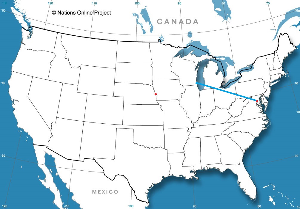
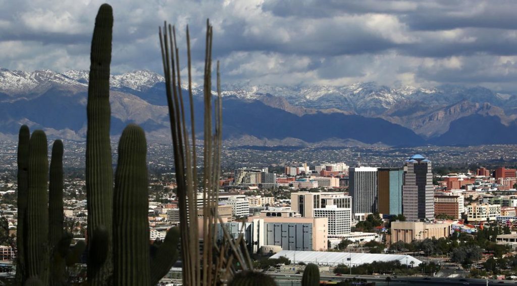
It’s time for everyone to head for home, all of you spring breakers and snow birds. Our early April drive will take us from beautiful Tucson up to the eastern shores of Lake Michigan, where I promise lake effect season is almost done. It is a 3 1/2 day trek, covering 1904 miles of the heartland. The three full days will involve 544 miles of travel at 68mph. Nice round numbers. Let’s hope the whole day trip is as accommodating.
DAY ONE (Sunday)
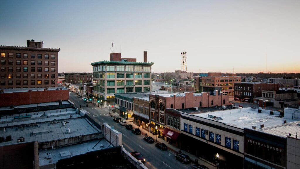
Tucson, Arizona
A little clipper of a system is organizing in the Montana foothills right now, and it will move towards the Upper Midwest through the day on Sunday. Something to keep an eye on for later in the day and later in the week. It will likely induce some cross wind from the south, especially later in the day as a cold front organizes through central Colorado. Fortunately, we will be enchanted by New Mexico without any other weather concerns on Sunday. We will make it to the ghost town of Cuervo, just past our entrance to I-40 east of Santa Rosa, New Mexico.
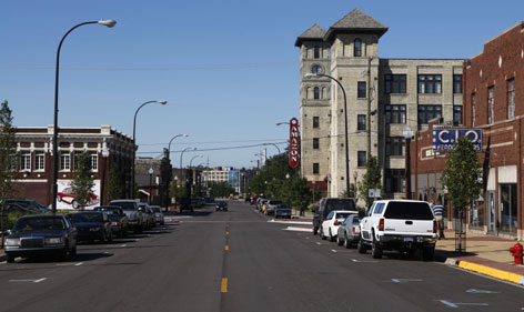
DAY TWO (Monday) As the tail of the cold front to our north gets mixed up with hotter, more humid air in Texas and Oklahoma, it will start to churn up a bit more activity. We will have a dry time through the Texas Panhandle, but nearly the entire stretch of our drive in Oklahoma will be under the threat of showers and storms. Fortunately, we will be on the cold side of the feature by the time activity really gets going, but it will still be wet, with greater coverage northeast from Oklahoma City. We will get to Claremore, just past Tulsa, before we call it a night.
DAY THREE (Tuesday) Tuesday’s drive will be a master class in timing. Precipitation will blossom in the southern Mississippi Valley, shifting towards the southern Atlantic states. We will probably catch a bit of the back end of the system as we pass through Illinois, but by and large, we will avoid any significant weather on Tuesday. We dodged that system! Meanwhile, yet another feature is emerging in the northern Plains, bigger and stronger than the last one. This is going to start sliding southeast, robbed of some moisture by the preceding storm, but gnarly enough in its own way. This next storm will arrive in Odell, Illinois, a couple of hours after we do. Bullets dodged.
DAY FOUR (Wednesday) After a pretty fortuitous drive on Tuesday, things are going to be a little bit different on Wednesday. The next system is going to have a well put together cold front, running essentially along a line from Muskegon to Odell, We will be in windy rain through just about the entirety of the drive, including some spots of sleet as cold air tries to press in. Pretty gross. Don’t let it spoil your opinion of Muskegon, though.
One might think the title is referencing the lack of significant stormy weather in the Jacksonville area, even as the southern US was undergoing another severe weather outbreak, but it is not. Instead, the title references the lack of range in the temperatures, even with an airmass shift coming the way of Jacksonville. The forecasters with the quieter (and warmer overnight) temperatures were the ones that excelled on this day. The Top forecast went to Weatherbug, their first win of the year, after a strong 2021. Actuals: Tuesday: High 80, Low 60 Wednesday: High 82, Low 66