No room at the top

The forecast for Baltimore proved to be fairly easy to wrap our heads around. The end of the week was going to be hot, and generally free of any atmospheric changes. Mission accomplished! Everyone came in between 3 and 5 degrees of error, and there was no precipitation to worry about, so everyone can feel good about their day. Accuweather, the Weather Service and Weather Nation can feel just a little better about it though.
Actuals: Friday – High 95, Low 74
Saturday – High 97, Low 77

Grade: A

New Haven, Connecticut to Baltimore, Maryland

It takes merely one day to travel from New Haven, to Baltimore. In fact, it’s only 5 hours between the cities by car (even faster by train!) and covers 5 states. That’s a state an hour! At most times, it is a 5 hour and 7 minute drive (though significantly longer in the morning ore early evening) at a pace of only 52 miles an hour. That is CRAZY slow. This is the first time I can remember passing through Delaware on a trip, so I will blame the First State. We have 267 miles to cover, so let’s start coverin’

New haven, Connecticut

It’s the same story everywhere, man. Hot, hot, hot. Make sure that AC is working, especially in the midst of cutting across the Bronx on I-95 early in the day. Being at a standstill just makes things seem so much worse. The best chance for rain tomorrow is before we wake in the New York City area, but I suspect the green showing on the models will manifest as some ground fog thanks to high dew points in the area. The sun will get brighter and angrier as we slide through New Jersey and Delaware, before we begin our final steamy approach to Baltimore.

Baltimore, Maryland

Baltimore, Maryland

It’s a hot July, one of the hottest ever recorded in many parts of the world, including the mid-south in the US. Just normal — “normal” — hot out east though. Is there anything else coming with it?

At 954AM, ET, Baltimore was already reporting a temperature of 88 degrees. Mostly cloudy skies populated the region, and dew points were a soupy 73 degrees. There is an area of low pressure over eastern Canada, dangling a cold front along the Appalachians. It is a typical summer time boundary, and while there are clouds across Appalachia, it isn’t bolstered by very much cold air, and the moisture content is negligible. Still, any chance at relief will be appreciated.
High pressure at the surface will remain entrenched, even as the boundary moves through Appalachia. Tomorrow may be a bit cooler than today, but high pressure is going to build back into the region on Saturday, and temperatures and humidity are expected to build right back with it.
Tomorrow – Partly to mostly cloudy, High 95, Low 75
Saturday – High 98. Low 75

TWC: Tomorrow – Mainly sunny. Hot High 97, Low 75
Saturday – Mainly sunny. Hot High 97, Low 76

AW: Tomorrow – Mostly sunny High 96, Low 75
Saturday – Mostly sunny and hot; stay hydrated; signs of heat illness can include headache, dizziness and nausea High 97, Low 76

NWS: Tomorrow – Sunny, High 96, Low 75
Saturday – Sunny and hot, High 97, Low 76

WB: Tomorrow – Sunny, High 96, Low 76
Saturday – Sunny. High 96, Low 77

WN: Tomorrow – Mostly sunny, High 96, Low 75
Saturday – Mostly sunny, High 97, Low 76

FIO: Tomorrow – Humid throughout the day. High 94, Low 75
Saturday – Humid throughout the day. High 94, Low 77

That’s just a really hot stretch of days. There is a lot of similarity from day to day among the outlets, but I just think that there is too much going in the mid and upper levels for the two days to be carbon copies. One day will be cooler, probably tomorrow, and Saturday will bounce back like nothing happened. Clouds are scattered today.


Nice shooting

have you ever seen those paper targets after really good shots are done, and the holes are all pretty close to the center of the target? That was like our forecast in Baltimore. Everyone got an A on the forecast rating, thanks to high pressure, and no funny business. Clouds rolled in last Monday exactly as they were supposed to. The top forecast went to Weatherbug, who was nearly spot on.
Actuals: April 25th, High 78, low 53
April 26th, Hight 69, Low 53

Grade: A

Baltimore, Maryland to Racine, Wisconsin

Spring is supposed to be here. Really, it should be right around the corner. Why not drive to the lake? Specifically, this day and a half trip will cover the 776 miles between Chesapeake Bay and southeast Wisconsin. We will make the journey at a pace of 60.3mph. Thanks side streets and Chicago! The first day drive will cover 482 miles, leaving that Chicago chunk for day two.

DAY ONE (Thursday)

Baltimore, Maryland

The cold air in pursuit of an offshore cold front is going to cycle through New England and the mid-Atlantic tomorrow, likely pressing some mid and low level clouds through the undulating terrain of Pennsylvania. Light rain looks to be suppressed by local high pressure, and moisture is getting drawn towards a developing lee trough. Cloudy and cool, then, until we get to the toledo area and call it a night.

DAY TWO (Friday)

A warm front will be working it’s way north throughout the day on Friday, starting, I suppose, even on Thursday. Moisture will be penned closer to the Mississppi and the Illinois-Missouri border as we pass through Chicago, though a DEFCON 1 rain shower can’t be ruled out as we navigate the Windy City. It’s going to rain this weekend in Racine, but it probably won’t be when we arrive.

Baltimore, Maryland

I’ve been to Baltimore a couple of times. I saw Oriole Park and the Inner Harbor, and both were a joy. What about the weather, will that be as joyful?

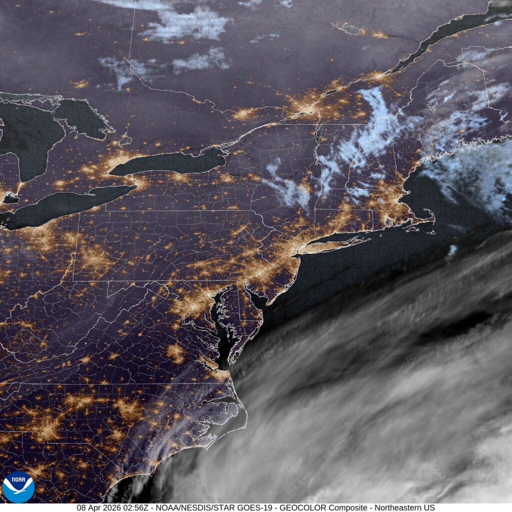
At 1154PM, ET, Baltimore was reporting a temperature of 59 degrees. Clear or fair skies were reported across the mid-Atlantic, with a high amplitude ridge along the coast, merging, but not quite fully in phase, with a strong Bermuda High.
Seasonably strong storm features spun south of Newfoundland, and again over the Upper Midwest, and were connected by mid and high clouds in New England, showing off where the jet structure was strongest. The cold front with the trailing system will press eastward into the ridge, breaking down both the front and the ridge. Clouds will become more likely, as will some coastal haze, which will keep temperatures in check to start the work week.
Tomorrow – Sunny, High 77, Low 55
Monday – Clouds likely, High 70, Low 54

TWC: Tomorrow – Generally sunny High 80, Low 53
Monday – Mostly cloudy skies High 71, Low 54

AW: Tomorrow – Partial sunshine High 79, Low 54
Monday – Intervals of clouds and sun High 70, Low 54

NWS: Tomorrow – Patchy fog before 8am. Otherwise, mostly sunny, High 77, Low 53
Monday – Patchy fog before 11am. Otherwise, partly sunny High 70, Low 54

WB: Tomorrow – Mostly sunny, High 78, Low 53
Monday – Patchy fog in the morning, High 68, Low 53

WN: Tomorrow – Mostly sunny, High 77, Low 54
Monday – Partly cloudy High 70, Low 54

FIO: Tomorrow – Clear throughout the day. High 77, Low 51
Monday – Overcast throughout the day. High 70, Low 53

Head on over to WBAL to see friend of the Blog Tony Pann give the forecast for Baltimore, noting the wide variety of temperatures across Maryland tonight.