I was shocked that after a long, healthy run, WeatherNation was on the fritz when we forecast for Spokane. I was even more shocked when I went to verify the forecast, and saw that I had left the Weather Service’s forecast off the post. Third, when verifying, I saw that our verification site uses a downtown site — as it should — rather than Spokane International Airport, which is to the west of town. Victoria-Weather would have at least secured a better forecast showing. Instead, it was The Weather Channel who locked up a victory of all sites that showed up. Actuals: Tuesday – High 59, Low 39 Friday – High 61, Low 37
We are traveling cross country this weekend, taking a solid 5 days through the northern US on our trek. It’s a 2,633 mile journey between the two cities in question, which we will do at a pace of 67.5mph. We’ll move quicker in the plains and slower through the mountains (Rockies AND Appalachians). All told, the goal will be 540 miles a day, at least through days 1-4.
DAY ONE (Friday)
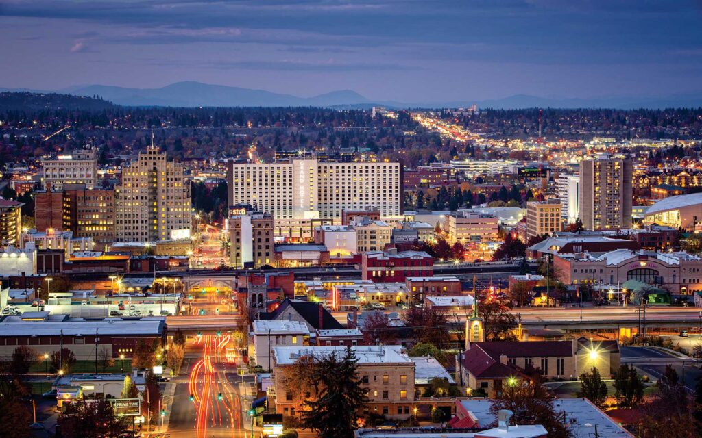
Spokane, Washington
What a grimy, miserable pattern that is setting up in the northern US. It’s very busy, and it looks to be that way when we set out on Friday. A cold front will move ashore overnight, and light rain with valley fog will dot the northern Rockies through Idaho and about as far as Frenchtown, Montana, which is west of Missoula. If that wasn’t frustrating enough, the massive complex bringing severe storms to the Upper Midwest will rotate moisture and instability from the northeast — the northeast! — which will press up against the Front Range in Montana, bringing isolated showers and storms to a typically drier stretch of Big Sky Country. Isolated storms are possible, and overcast is likely from Missoula, through Butte and Bozeman and indeed on to Billings, where we will reside for the night. There is a silver lining, I guess, finding a large town to stop in for the night in Montana!
DAY TWO (Saturday) OK, so there is some good news. The low in the north central US is lifting almost due north, which is allowing some more settled weather to develop in the middle of the country. This will leave a pretty good day of driving as we finish the drive in Montana, cut across Wyoming and finally enter South Dakota. We’ll navigate our way to Kimball, in the middle of the state, and call it a day.
DAY THREE (Sunday) The good fortune will continue on Sunday, as winds will turn west-northwesterly behind an emerging cold front in the eastern Great Lakes. The big system, now in Canada, will start hustling off to the east, towards Hudson Bay by Sunday morning. A weak little trough will develop in the wake of the front, and could set off some very vague showers and storms in southeastern Minnesota and western Wisconsin by the late afternoon, but I would expect dry conditions in the Madison area as we end our weekend.
DAY FOUR (Monday) That little post frontal trough is expected to move it about our pace on Saturday. Fortunately, it won’t really get active at any point during the day, but particularly early on as we try to get through Milwaukee and Chicago. Clouds and little bit of light rain will become increasingly likely late in the day as we bound through southern Ohio. We’ll make it to Jackson, which arrives just before the Ohio River and a border with West Virginia.
DAY FIVE (Tuesday) All this worrying, and it looks like it won’t shake out too badly. Precipitation will be well off shore by the time we traverse Appalachia and settle into the Carolina Plain. Off shore breezes will even work to scour out the threat of morning fog that tends not to stay confined to the AM. Of course, it looks active again in the High Plains as we arrive in Rocky Mount, but maybe that is why we went to North Carolina instead of there?
Rocky Mount, North Carolina By Harris Walker – https://www.flickr.com/photos/harriswalkerphotography/3342646285/in/album-72157615074534836/, CC BY 2.0, https://commons.wikimedia.org/w/index.php?curid=61707633
Another stop in our western sojourn as we travel to Spokane. It’s definitely one of our most frequent sites, so hopefully we will have little bit of experience on our side.
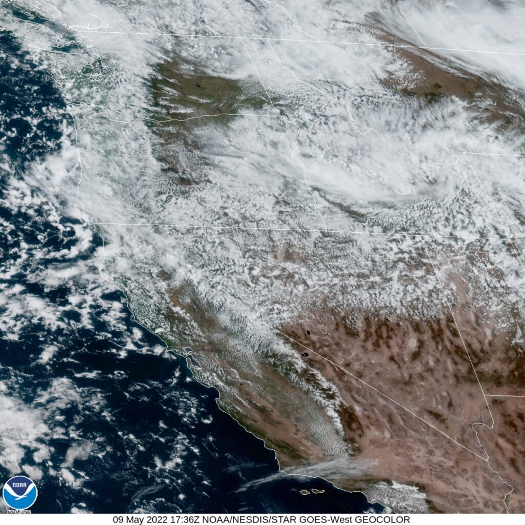
At 953AM, PT, Spokane was reporting a temperature of 42 degrees with overcast skies. Frost and freeze advisories were out for many of the cold-prone valleys in the Spokane region last night, but the overcast will prevent a significant cool down again tonight. Upper level low pressure is continuing to generate rain and even some thunderstorms, of which many will flare again this afternoon and evening. The persistence and future distention of the low is leading to diminishing returns for the storms, thought a few days ago, this system was capable of tornadic development. the primary surface feature related to this trough has moved off to the Canadian prairies, but baroclinicity remains in place over the Pacific Northwest. At the base of the trough, another area of circulation is developing off the coast of Crescent City, California, and this should blunt the cool weather a bit, but the tandem lows and upper trough will hold cloudy conditions in place. Stronger and more well organized low pressure will emerge with the support of a reanimated lobe of the upper trough over the Gulf of Alaska. While this system advances the circulation off the coast will break down, and for a brief moment, clearer skies will be possible in Spokane, before Thursday sees a return of precipitation. Tomorrow – Mostly cloudy, High 57, Low 35 Wednesday – Partly cloudy, High 59, Low 34
TWC: Tomorrow – Sunny, along with a few afternoon clouds. High 59, Low 36 Wednesday – Plentiful sunshine. High 61, Low 36
AW: Tomorrow – Cool with variable cloudiness High 58, Low 36 Wednesday – Sunshine mixing with clouds High 60, Low 36
WB: Tomorrow – Partly cloudy. Widespread frost in the morning, High 57, Low 36 Wednesday – Sunny, areas of frost, High 60, Low 36
WN: Tomorrow – SITE IS DOWN
FIO: Tomorrow – Partly cloudy throughout the day. high 60, Low 36 Wednesday – Clear throughout the day. High 63, Low 35
Wow, we haven’t had a website go down in a long time. I’ve looked through multiple browsers and devices but now luck. Chilly in eastern Washington for our forecast, and not a lot of the country can say that this week.
Temperatures in Spokane were downright delightful last week. After a long hot summer, they deserved the mid – 70s that they saw, though admittedly, the bit of drizzle early Friday morning was a bit of a tease, given the wildfires and drought encompassing the western US this summer. The Weather Channel collected the top forecast of the day, narrowly, and would have had something special if only they had accounted for the drizzle. Actuals: Thursday – High 77, Low 53 Friday – Trace of rain, High 75, Low 55
Grade: B-C
Victoria-Weather expresses our grief and wishes for a rapid recovery to southeastern Louisiana and the residents that have been so heavily impacted by Hurricane Ida. We encourage readers to donate to hurricane relief via the Red Cross.
When people think of Washington, most, I believe, think about Seattle, Tacoma and the Puget Sound area. Rainy and glum for a lot of the year. That is now what you should expect in eastern Washington, though. Let’s take a look at the biggest town in Washington east of the Cascades.
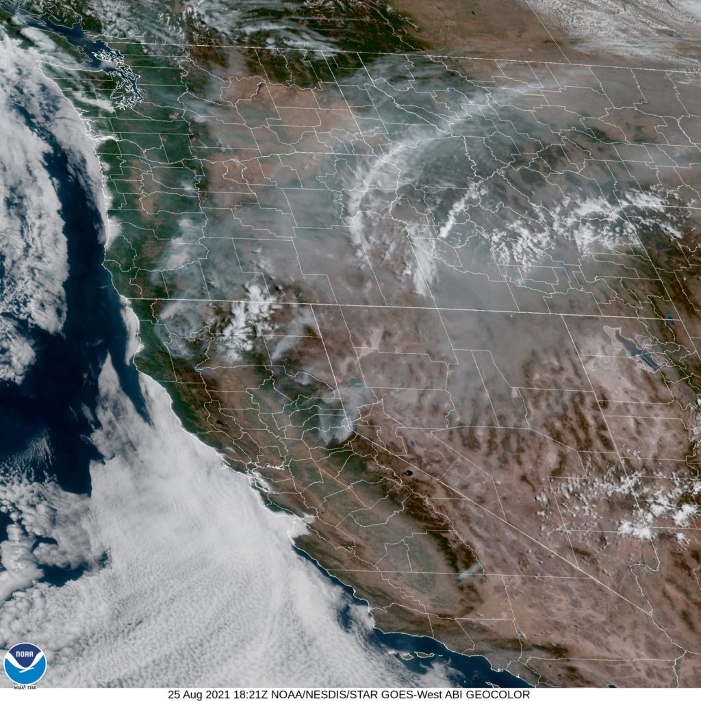
At 1053AM, PT, Spokane was reporting a temperature of 67 with mostly cloudy skies. An unusual feature has set up in the northwest: a cool area of surface high pressure. A trough aloft was opening the door for cooler air to fill in, but in the short term, surface reflection, aside from the temperatures, was not anticipated. Flow was stout enough from the west that fires in Oregon were not impacting air quality as much as they have recently. The upper level trough is low amplitude and broad, but a lobe of vorticity will sneak down from British Columbia late on Friday. This will lead to some breezier conditions and some clouds, but will also help to usher the trough out of town. Importantly, this will also help temperatures start on the rise again for the weekend, but through the forecast period, it will be pleasant. Tomorrow – Partly cloudy, High 76, Low 57 Friday – Partly to mostly cloudy with some breeze, High 73, Low 56
TWC: Tomorrow – Partly cloudy skies in the morning will give way to cloudy skies during the afternoon High 77, Low 54 Friday – Partly cloudy. High 74, Low 55
AW: Tomorrow – Comfortable with partial sunshine (late rain) High 76, Low 55 Friday – Pleasant with sunshine and some clouds (Early rain) High 72, Low 55