Salisbury, Maryland to Chattanooga, Tennessee

We were very close to a route requiring use of the Chesapeake Bay Bridge/Tunnel that connects the southern tip of the Delmarva Peninsula with the Virginia Beach area. Instead, we will slice through Washington and head right for the mountains. Depending on the time of da you run the route, you will get a variety of different options. Running it during rush hour makes it an 11 hour trek right through the heart of our Nation’s Capital, covering 721 miles. That is a pace of about 64.9mph, which is better than I expected. The route will be scenic, so let’s enjoy it, traffic and all.
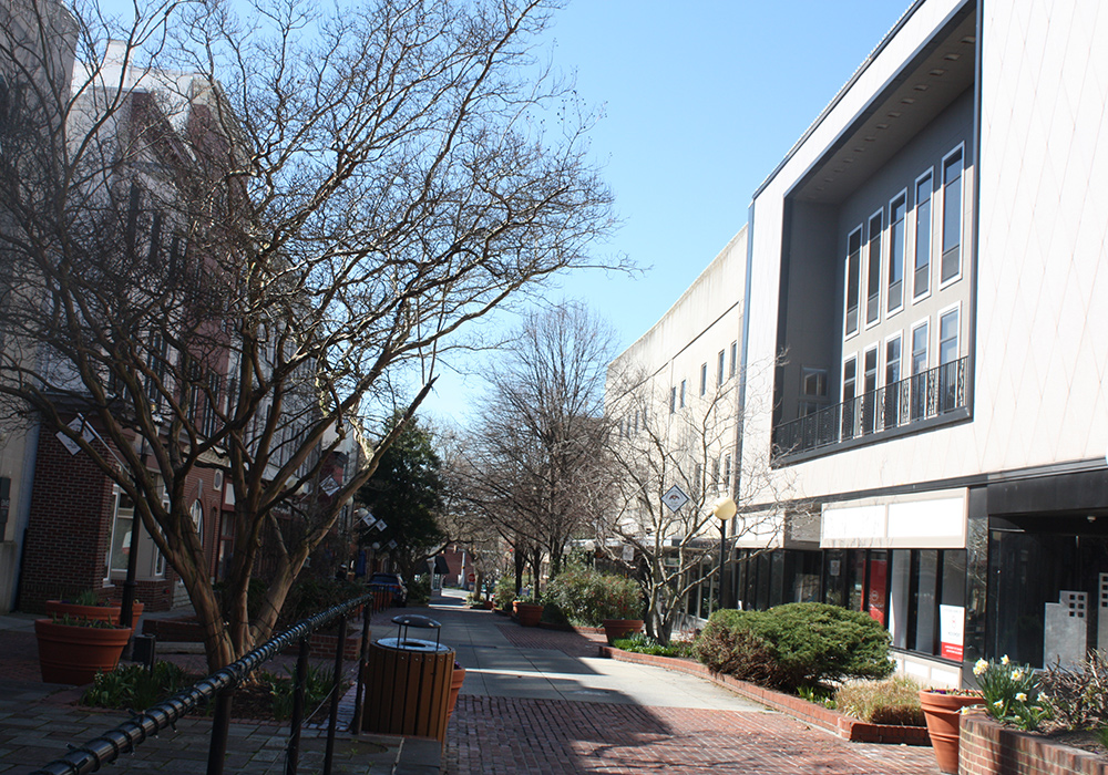
Salisbury, Maryland

Taking a trip through DC and the mountains probably couldn’t be happening at a better time. Congress is about to call it a year, ensuring DC traffic will be significantly less burdensome, while the weather itself is going to be about as cooperative as it gets. A big ol’ dome of high pressure is planted over the Carolinas, and is bringing sunshine and unseasonably warm air to the Eastern Seaboard. It’s hard to complain about this kind of weather. Hold on tight after you get to Chattanooga, though. A strong system is organizing in the Gulf of Mexico, and will be very problematic to begin the week next week. Not a problem for this forecast, however!
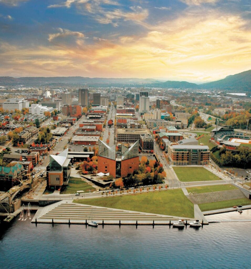
Chattanooga, Tennessee

Lewiston, Maine to Salisbury, Maryland

This is going to be a 1 day trip that will touch 8 states! Sure, it will be a long 1 day, but that is still pretty incredible, considering we will be covering just 570 miles. Driving through the urban landscape of New England and the Mid-Atlantic, we’ll also only be slugging along at a 57mph pace. Plenty of time to take in all the sites.

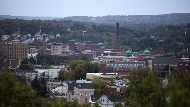
Lewiston, Maine

Low pressure is looming as we approach mid-December. Winter has been slow in coming to the country, but a taste of it is going to be wrapping around on the northwestern side of this system. That does not include any part of our route through the East Coast’s largest cities. There appears to be a closure on the GW Bridge which might affect our route, but for the weather, this would just mean the southerly wind would be on our left rather than a headwind. Heck it might be warm enough in Salisbury to take a quick trip to the beach after we arrive, but before thar rain eventually gets there.

Salisbury, Maryland

An unwelcome surprise

Early in February, shortly after the Super Bowl, the east coast was enjoying a warm stretch, but colder air loomed on the other side of the Appalachians. The leading edge of the ridge was going to bring a little bit of rain, though it wasn’t expected to be much, with low pressure developing in the southern US. Unfortunately for forecasters and residents of Salisbury, where we were forecasting way back on the 4th, things developed just fin. Around an inch of rain fell between Tuesday the 5th and Wednesday the 6th, but most forecasters only mentioned a chance of light rain for the Delmarva. The Weather Channel at least had rain in the forecast for both days, but the record warmth that some had promised on Tuesday was done in by all the clouds.
Actuals: Tuesday, Feb. 5th, .23″ of rain, High 61, Low 41
Wednesday, Feb. 6th., .73″ of rain, High 56, Low 44

Grade: C-D

Salisbury, Maryland

To the Delmarva we go this evening, to the Eastern Shore of Maryland. Salisbury is the second largest town on the peninsula, after Dover. This is the first time Dover has been the biggest in any categorization.

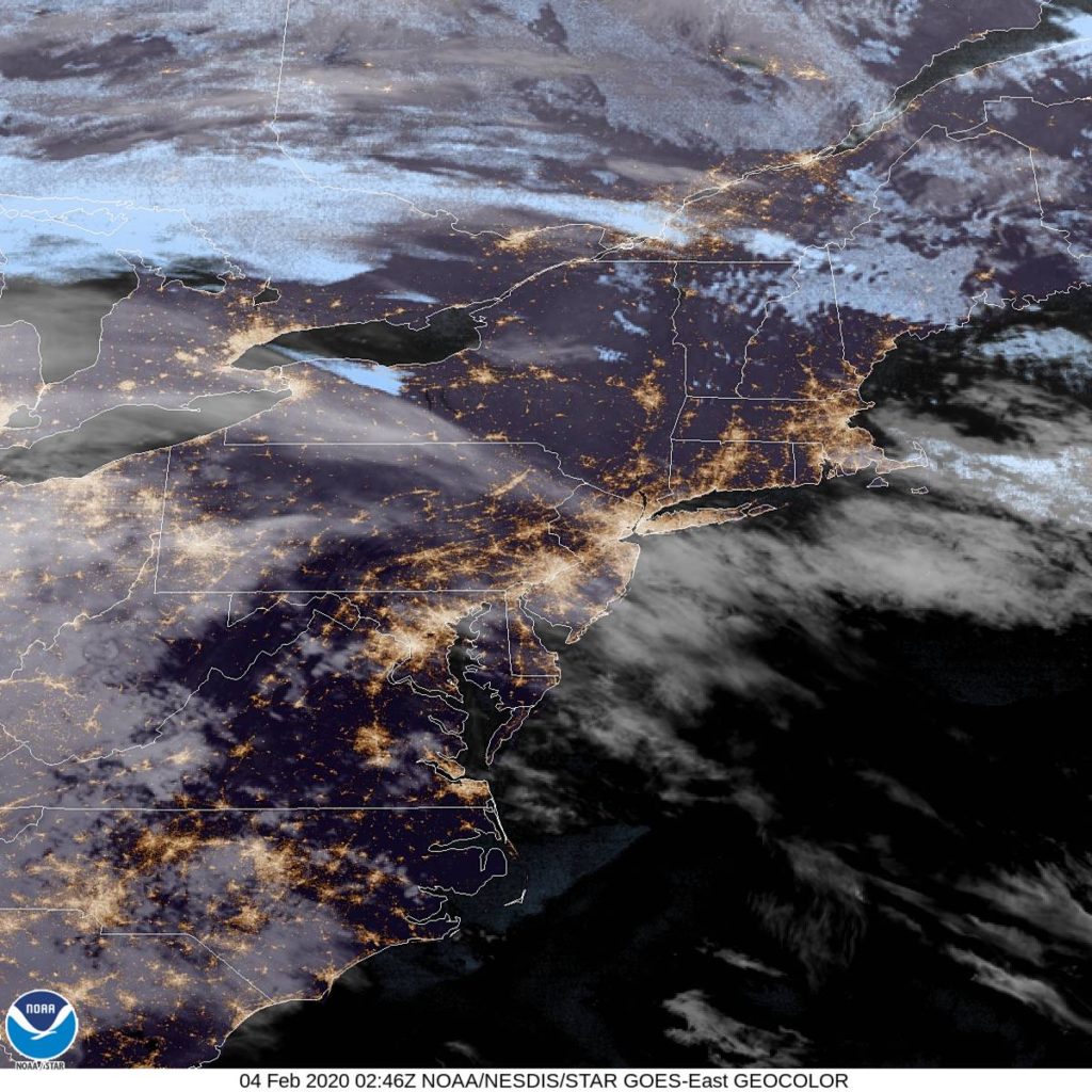
AT 854PM, ET, Salisbury was reporting clear skies and a temperature of 50 degrees. There was a smattering of clouds to the west, over Appalachia, that were seen at the leading edge of high pressure. There is an upper level ridge parked over the eastern US, and any short term development will be found in the south central US, at the base of a strong jet trough.
There is little easterly momentum to the ridge, but there some. Cold air will coalesce behind the Appalachians even as low pressure develops in the lower Mississippi Valley. The cold air will drift southeastward, bringing with it the chance for a splash of showers on Wednesday afternoon, with a few clouds billowing in before that.
Tomorrow – Mostly cloudy, High 65, Low 46
Wednesday – chance of light rain, High 54, Low 44 (non-standard)

TWC: Tomorrow – Overcast. Slight chance of a rain shower. High 62, Low 51
Wednesday – Rain early then remaining cloudy with showers in the afternoon. High 55, Low 42

AW: Tomorrow – Mostly cloudy with a touch of rain; the temperature near the record of 69 set in 1991 High 64, Low 50
Wednesday – Mild with occasional rain and drizzle High 57, Low 42

NWS: Tomorrow – Mostly cloudy, High 67, Low 48
Wednesday – Rain likely. Cloudy, High 53, Low 45

WB: Tomorrow – Mostly cloudy, High 62, Low 53
Wednesday – Rain likely, High 56, Low 42

WN: Tomorrow – Mostly cloudy, High 66, Low 48
Wednesday – Cloudy with light rain likely, High 52, Low 48

FIO: Tomorrow – Mostly cloudy throughout the day. High 63, Low 48
Wednesday – Light rain in the morning and afternoon High 56, Low 39

There we go, a messy forecast for the middle of the week. Right now, however, the sky is clear and the air is unusually warm.

Salisbury, Maryland to Madera, California

All right, friends, it’s about time we engaged in a cross country, 5 1/2 day monster of a road trip. we will cover a whopping 2,914 miles to get from the East Coast to central California. A lot of time on interstates will mean a brisk 66.2mph pace and 529.8 miles covered a day on those full days in the car. We might see snow, and we might see fires Sounds pretty dynamic, doesn’t it?

DAY ONE (Tuesday)

Salisbury, Maryland

Things will be off to a good start on Tuesday, with warm high pressure settling into he Appalachians and throughout the DC/Baltimore region. We shouldn’t have any issues, even with tolls, as we will be traveling the southern route through Ohio, the one that avoids the toll road, but not Columbus. We’ll stay in Lake Darby, a western suburb of the Ohio State Capital.

DAY TWO (Wednesday)
I have some good news for Wednesday! It probably won’t snow! A warm front will reach north towards the southern Great Lakes overnight, and we will be in rain almost from the time we get moving. There is a chance at some thunderstorms over southern Indiana and Illinois, but by the time we reach Missouri, the cooler air will be moving in. The thunder threat will long be over, and instead a chilly rain will overtake the thunder. Maybe after we stop for the night in Devil’s Elbow in central Missouri, a wet snowflake could mix in.

DAY THREE (Thursday)
Undoubtedly, our coldest day will be Thursday, Halloween. How cool is it that we will start Halloween in Devil’s Elbow? We’re going to contend with the remnants of a few snow showers for the first couple hours of the day, concluding before we reach Springfield, and then Oklahoma will simply offer a chilly wind as we nagigate the Sooner State. We will only just start to enter Texas when we call it a day in Shamrock, where west winds suggest we will finally be reaching a bit warmer air.

DAY FOUR (Friday)
November will get off to a pleasant start. Nary a cloud in the sky as we head through the Texas Panhandle and New Mexico, and temperatures should start warming a bit too. We’ll stop for the night in Manuelito, New Mexico, on the Arizona border.

DAY FIVE ( Saturday)
Another day on the road out west, and another day with little to worry about. We’ll navigate Arizona without a concern, and reach southern California where it will be much warmer than we are used to. The day will end near Barstow, but far away from the fire concerns near the coast.

DAY SIX (Sunday)
I suspect that by next weekend, the fire danger in California will be significantly dampened. That will make for a less hazy drive through southern California. Madera looks to be in fine shape for our arrival.

Madera, California
By Jcarrello – Own work, CC BY-SA 4.0, https://commons.wikimedia.org/w/index.php?curid=52965015