Back in the saddle again, as we take a trip from southern Wisconsin to southern Arizona. Surely, as we reach the middle of December, this is a voyage a lot of locals wouldn’t mind taking. The drive is going to take us three days and cover 1,666 miles, which means that if weather holds, we will cover 533 miles a day at abouy 66.7mph. The final day of the trip, as often is the case, will be our longest.
DAY ONE (Thursday)
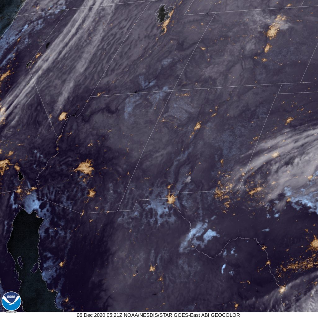
Credit: Wikideas1 – Own work
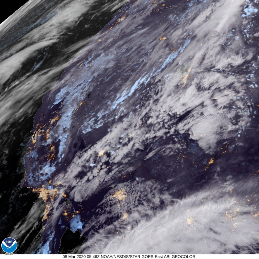
It’s been a busy time for the northern Plains. The cold seen across the Eastern US is being fed by a steady band of Clipper systems moving along the back end of the thermal trough. Another one is staged to move through on Thursday, particularly impacting Iowa in the afternoon. It will take us a couple of hours to get to Des Moines, and naturally, that should be the point of the trip where snow starts to infiltrate. I would say the chance for flakes will start around Ames and pick up. We will nearly be out of the woods by the time we reach Osceola, and at that point, it may mix with some rain. Fortunately, the rain and precipitation will cut off with warmer air as we cross into Missouri. Kansas City will offer fewer navigational headaches than Des Moines, and we will end the night in Topeka, before the Kansas Turnpike offers fewer and fewer exit opportunities.
DAY TWO (Friday)
We are certainly taking a more adventurous route than we are accustomed to. We will not be haded south from Wichita, but rather west through southwest Kansas, and on some smaller roads through the various Panhandles of the region. Fortunately, the weather should be accomodating along a route that can be otherwise inhospitable. About 20 minutes before we reach Tucumcari, New Mexico from the northeast, we will end our day in Logan, New Mexico.
DAY THREE (Saturday)
I think we will be happy we went south and then west. While a nother bracing shot of cold air and snow moves through the Upper Midwest and High Plains, we will be driving through the sunshine and seasonably warm air of New Mexico. The Land of Enchantment, indeed. It will be quite comfortable for our arrival in Tucson.