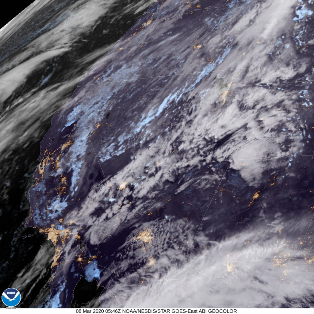
Let’s see what’s going on down in Arizona tonight. Anything? Anything at all?
At 853PM, PT, Tucson was reporting a temperature of 68 degrees with clear skies. The western US is much more active than usual, with a broad, strong trough angled into the west coast. The exit arm of the trough extends just to the southeast of Tucson, and some mid to high clouds shouldn’t be ruled out tomorrow.
Low pressure will consolidate on the Colorado/New Mexico border through the day tomorrow, with precipitation becoming more widespread in southern New Mexico and the terrain east of Tucson. This feature will shift into the Plains, but the southwest will broadly be within a trough. Low pressure will develop over the Pacific west of the Baja, and the skies over Tucson will be a little bit more congested than usual to start the week.
Tomorrow – Mostly cloudy, High 69, Low 52
Monday – Mostly cloudy, High 74, Low 50
TWC: Tomorrow – Mostly cloudy skies with a few showers after midnight. High 67,
Monday – Except for a few afternoon clouds, mainly sunny. High 75, Low 48
AW: Tomorrow – A shower or thunderstorm in the area in the morning; otherwise, rather cloudy and cooler High 68, Low 55
Monday – Partly sunny and warmer High 76, Low 47
NWS: Tomorrow – Scattered showers, mainly before 11am. Partly sunny, High 71, Low 54
Monday – Sunny, High 77, Low 45
WB: Tomorrow – Mostly cloudy with scattered showers in the morning then partly cloudy with isolated showers in the afternoon, High 66, Low 59
Monday – Mostly sunny, High 73, Low 49
WN: Tomorrow – Partly cloudy with scattered showers, High 71, Low 54
Monday – Mostly sunny, High 77, Low 45
FIO: Tomorrow – Possible drizzle in the morning. High 71,
Monday – Overcast throughout the day. High 74, Low 60
I sure could end up with egg on my face if (and probably


Comment (1)