This trip might not seem that long, but it’s actually going to last for parts of two years. The trip actually covers 1213 miles, and will last for two days, with one being a couple hours longer than the other. We will move at a pace of 66.1mph, which means we will be spending New Year’s Eve about 529 miles from Dallas.
DAY ONE (Wednesday)

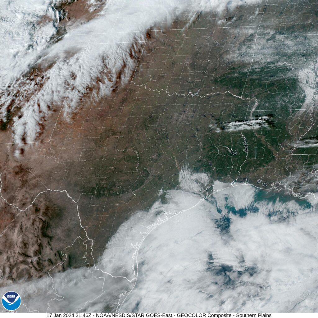
The real show right now is the copious lake effect event happening closer to our destination in Bay City. More precipitation is moving into the Southwest as well, but that won’t be hurdling the Rockies. Instead, we can expect high pressure and mostly sunny skies from Texas through Oklahoma and into Missouri, where we will reach Cuba for the Countdown.
DAY TWO (Sunday)
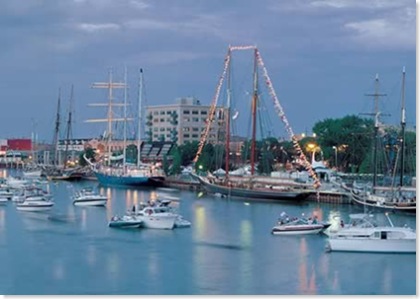
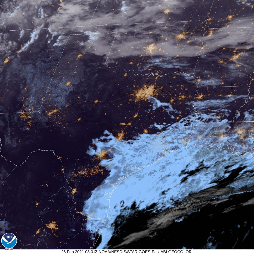
The disturbance in the Great Lakes is winding down. The parent feature is shifting off into the North Atlantic and becoming a problem for Baffin Island. I’m not fully convinced there won’t be snow in Lower Michigan on New Year’s Day, as wind still looks to be predominantly from the west. That said, our route is really going to be in range for the snow between about Michigan City, Indiana and Paw Paw, Michigan. That’s maybe an hour? And even then, only if the snow slows down traffic. Bay City should be living the good life in the eastern part of the state. Happy New Year!