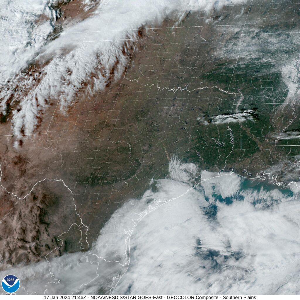
The weather of Texas isn’t supposed to be like it’s been. Alas, it is January, and we have a robust, strong jet stream leading to an equally strong, robust surface pattern. Let’s continue to discuss.
At 253PM, CT, Dallas was reporting a temperature of 41 degrees with fair skies and a brisk south wind. High pressure has set up in the southeastern US, which is bringing about the southerly flow, however with the strong jet structure, another trough emerging is leading to a transient pattern, and todays blustery conditions.
The next upper level trough will have little reflection in terms of a well structured cyclone or precipitation, but the cold air mass will be defined and strong as it presses southward. It will remain dry and snow free in the MetroPlex, however even colder air will head south for the region on Thursday night.
Tomorrow – Mostly sunny, breezy, High 53, Low 32
Friday – Chilly in the morning, partly cloudy, High 37, Low 27
TWC: Tomorrow – Partly cloudy skies. High 57, Low 33
Friday – Sunny, High 36, Low 25
AW: Tomorrow – Warmer with plenty of sunshine High 55, Low 30
Friday – Breezy in the morning; otherwise, very cold with plenty of sunshine; after a brief break, very cold air returns High 36, Low 23
NWS: Tomorrow – Sunny, High 56, Low 32
Friday – Sunny, High 36, Low 24
WB: Tomorrow – Sunny, High 51, Low 31
Friday – Sunny, Much cooler, High 36, Low 28
WN: Tomorrow – Mostly sunny, High 56, Low 32
Friday – Sunny, High 36, Low 24
CLI: Tomorrow – Sunny, High 55, Low 33
Friday – Sunny, High 39, Low 23
Brr! That’s a cold Friday for most people, and especially in Texas. At least there isn’t the added challenge of driving in the snow or ice this time around. Clear skies overhead for the Lone Star State at this time.


Comments (2)