We’re heading west over the Christmas break. On the plus side, we have work off for the next several days, so we don’t have to worry about that. On the negative end, the drive is over the holidays, which means everyone has time off. Good luck finding help at the convenience store if you need it. The drive will last a little more than 3 1/2 days, covering 1,948 miles at a pace of 67mph. That means the three long days of driving will cover 537 miles. I’m excited to see where we end up on Christmas!
DAY ONE (Wednesday )
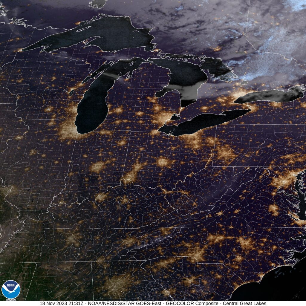
The Gulf is definitely open, at least on the western side. Fortunately, there isn’t a lot to trigger this instability for Christmas Eve. There may be some lingering clouds throughout the day, and we aren’t going to find a firm dry line, so it’s hard to say when the clouds will end, but they should eventually. We will stop for the day in Newlin, in west Texas. Santa, come to Newlin!
DAY TWO (Thursday/Christmas)
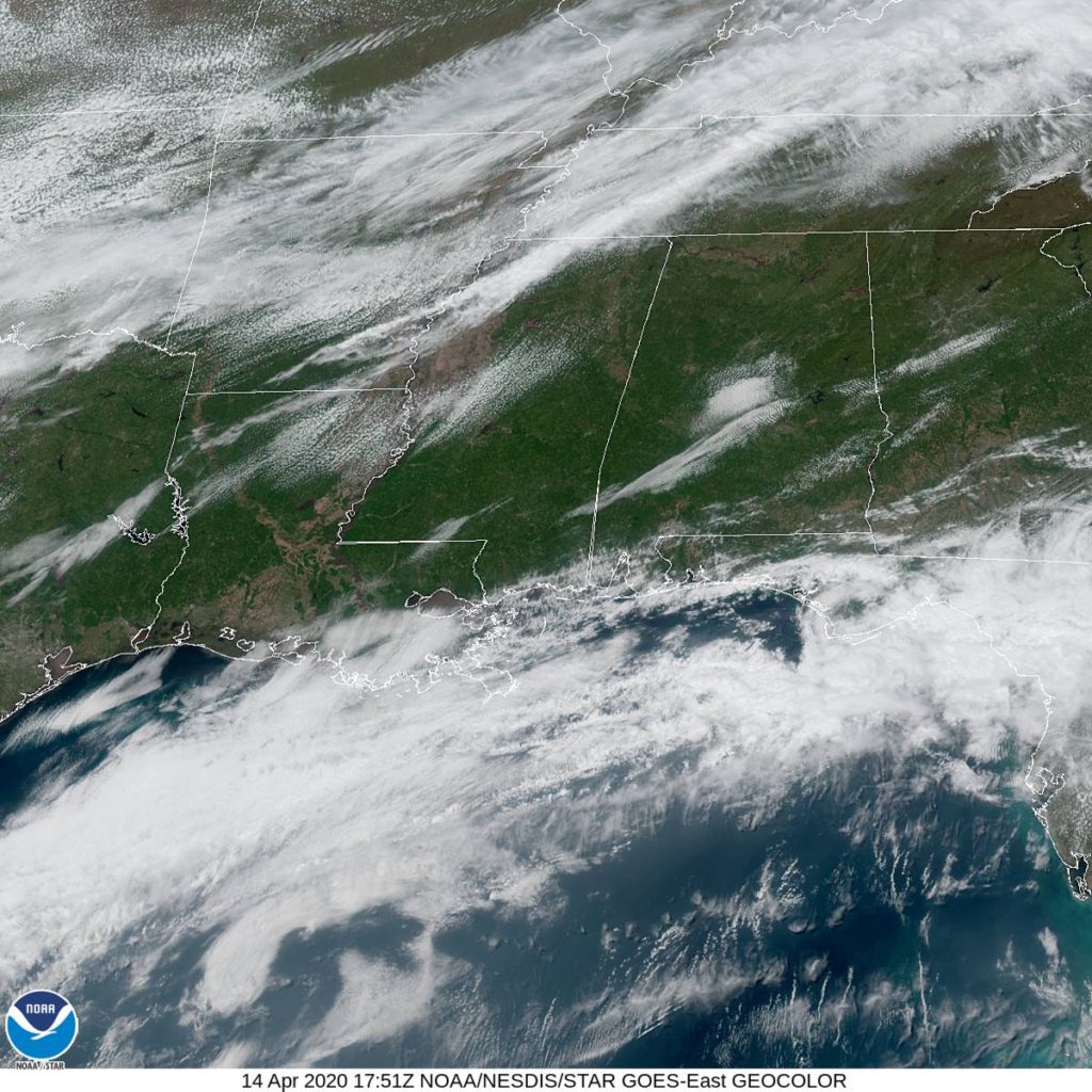
It will be a bright and beautiful morning on Christmas as we arise in Newlin. Will we receive gifts? That depends on your Naughty or Nice list status, but we should treasure the good weather we will see for the remainder of the Texas Panhandle and throughout New Mexico. Clouds my begin to pop up as we hit some terrain west of Albuqueque, but precipitation will remain closer to the Four Corners. Our drive will pass into Arizona on Christmas day, but only just. We’ll spend the night in Lupton, preparing for a much rougher day on Friday.
DAY THREE (Friday)
I know it sounds crazy to say, but in the higher terrain near Flagstaff, don’t be surprised to see some snow. It should stay away from the interstate, and I suspect the drive in Arizona, at least, will remain dry. We will take US-95 from Kingman, which means we will cross by the Hoover Dam before we reach Las Vegas. Unfortunately, the Vegas portion of the matter may also feature some isolated showers. It will be an improvement for Sin City, which may see some thunderstorms and heavy rain on Christmas Day, so be careful if the city is recovering from the unusual weather. We will continue northwest to Beatty, which will also be unusually damp.
DAY FOUR (Saturday)
The center of low pressure, the main one at the base of the trough will move ashore on Boxing Day and have a tough time maintaining itself when it arrives inland. It’s going to completely dissipate at the surface by Saturday. This means that whatever rain fell over the Holiday week on 95 will be dried and gone for the conclusion of our trip through Nevada. The only problem will be finding a place to stop to use the restroom!