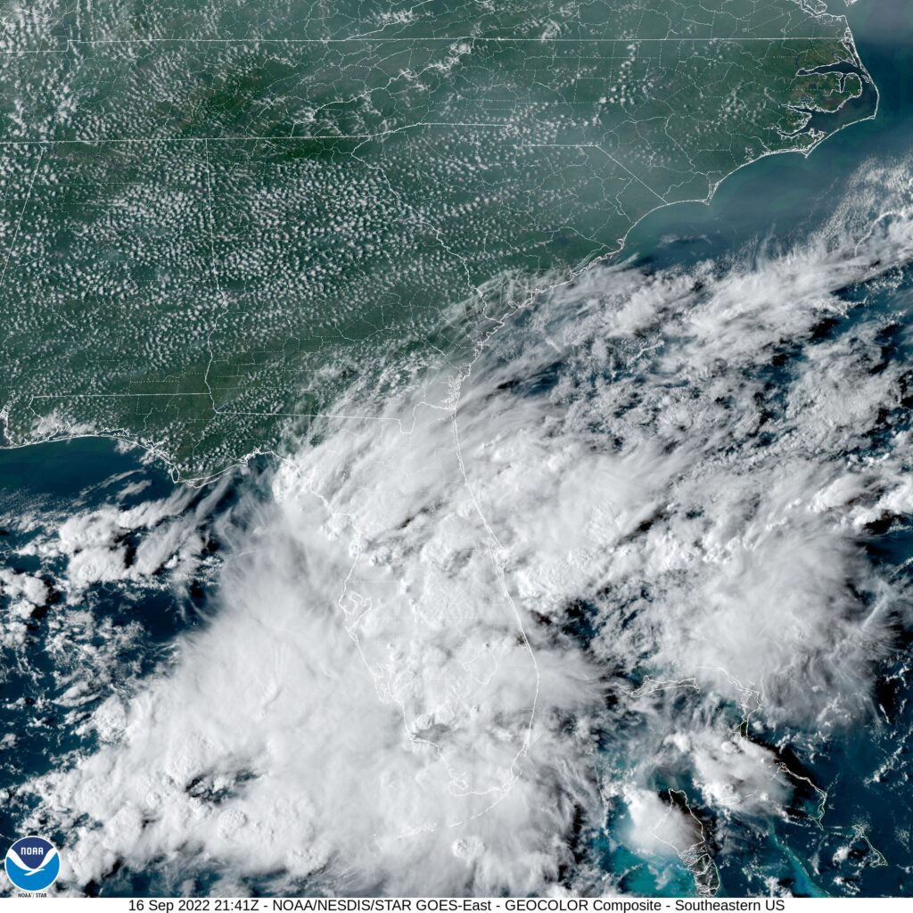
I spent quite a bit of time tweeting @Vic_WX as Hurricane Ian made landfall near Punta Gorda and Fort Myers, Florida. I suggest a follow for discussion on live and breaking news stories like Ian.
Our forecast today will be in the North Bay. Perhaps even further north than just the North Bay, deeper into Wine Country. It’s a gorgeous part of the weather when the temperatures are cooperative. It could go either way in September!
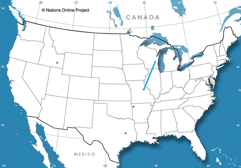
At 153PM, PT, Santa Rosa was reporting clear skies and a temperature of 81 degrees. A trough was dipping into the northern Rockies, riding on the eastern flank of a coastal ridge. Pleasant conditions were found throughout the coast, with an onshore flow keeping temperatures manageable.
Through the forecast period, the low in the northern Rockies will become orphaned from a north riding jet, while the weak ridge at the coast will continue to provide a northwesterly flow. Sunshine will continue, and so to will fairly pleasant, even cooler temperatures.
Tomorrow – Sunny, High 85, Low 51
Saturday – Remaining sunny, but with scattered clouds, High 82, Low 52
TWC: Tomorrow – Sunny, High 86, Low 52
Saturday – Mostly sunny, High 78, Low 52
AW: Tomorrow – Mostly sunny, High 84, Low 52
Saturday – Mostly sunny and pleasant High 79, Low 52
NWS: Tomorrow – Sunny, High 86, Low 55
Saturday – Sunny, High 82, Low 53
WB: Tomorrow – Sunny, High 83, Low 55
Saturday – Partly Cloudy in the morning then becoming sunny. Patchy fog in the morning, High 75, Low 55
WN: Tomorrow – Sunny, High 87, Low 55
Saturday – Mostly sunny, High 81, Low 53
FIO: Tomorrow – Clear throughout the day. High 82, Low 55
Saturday – Clear throughout the day. High 76, Low 52
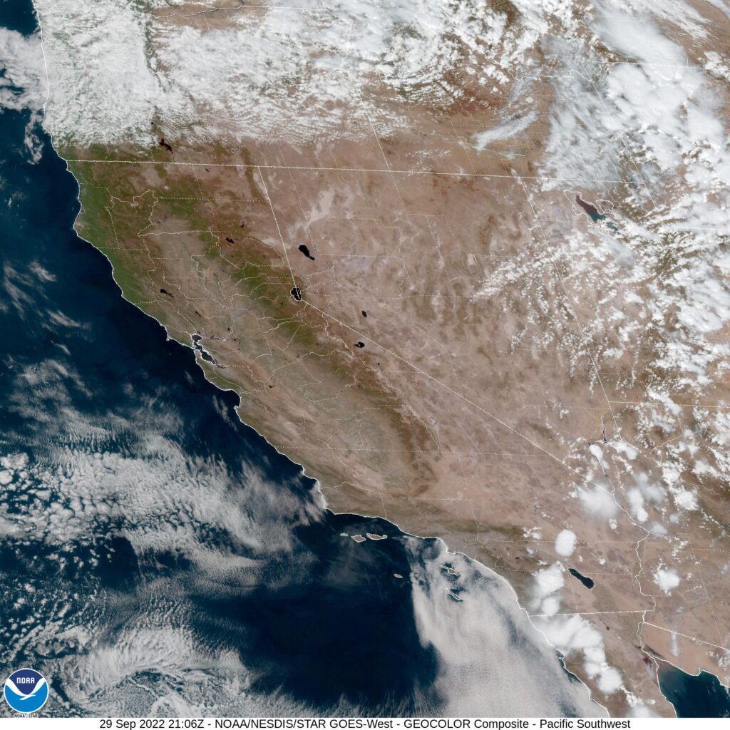
The satellite shows an almost entirely clear California, save for a little cumulus over the far southern part of the state. Not bad!