I famously am constantly in need of an editor, someone to review my spelling, and in some cases, such as two weeks ago when I put together a forecast for Yuba City, California, to make sure I made any sense. I suggested that diurnal convection might feel “left out” and bring shade to the town, and said that it is “night” that we are seeing clouds instead of smoke on the satellite this summer in California. I even spelled night correctly. I published the forecast after midnight, Victoria-Weather time, which was a big part of the problem, but despite all that, we managed to have the best numbers for Yuba City, tied with The Weather Channel. High pressure in the area provided the clear skies (and left those clouds out) needed to bump temperatures right on up to 106 on the 15th. Maybe I just need to start writing more in the middle of the night? Actuals: Monday, August 14th, High 100, Low 74 Tuesday, August 15th, High 106, Low 67
When I plugged this trip into Google Maps, it defaulted to buses and trains. If you don’t want to partake in a 5 day cross country journey, then I guess I can’t blame you. That’s what Google wants too. We’ll cover 2806 miles at a pace of 68.4mph, with an 8 hour daily goal of 547 miles. It’s a good old fashioned road trip, an we can make good time, but only if we leave now.
DAY ONE (Thursday)
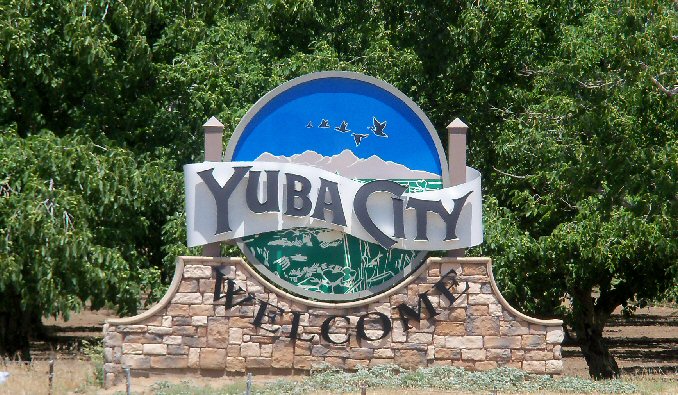
Yuba City, California
It’s pretty wild to think about it, but our drive on Thursday will take us from Yuba City to Wendover, Utah, through the wasteland of northern Nevada, and the region is presently between two tropical storms. Hilary was swept north of the region last week, and now the remnants of Tropical Storm Howard are moving into the 4 Corners. I wouldn’t be entirely surprised to see some clouds on the eastern and southern horizon when we reach Wendover and the home of the Bonneville Raceway, but the drive will stay dry.
DAY TWO (Friday) Howard is going to get hung up in the Rockies and lose his self among the seasonal monsoon. Wyoming will be rainier than one might expect, and we’ll dodge a few showers, maybe a rumble of thunder, as we trek through Wyoming on I-80. I would expect the heaviest rain will be west of Laramie, but we won’t get much further than the home of the University of Laramie, stopping west of Cheyenne at exit 348 as our day concludes.
DAY THREE (Saturday) High pressure in Canada is going to start sinking south, squashing out any life that Howard had. This will mean any lingering moisture will spread west to east along a cold front that is going to mostly be stationary through Saturday. Rain will be most likely early in the day, but there will be a chance for clouds and some isolated showers throughout the day as we make it to Avoca, Iowa, which is East of Omaha. As is all of Iowa, but this is pretty close to Omaha.
DAY FOUR (Sunday) All good things on Sunday! We’re going to finally start encountering some populated locations, including Chicago, but we’ll do it on the weekend, and one with good weather conditions at that. We’ll see a lot of sun, maybe a little bit of smoke in the atmosphere from the Canadian wildfires, but other than that, hakuna matata. We’ll reach Howe, Indiana for our destination for the day.
DAY FIVE (Monday) By the time Monday rolls around, all weather eyes will likely be out to see, where Franklin will be spinning between Bermuda and the Carolinas. The tail of the cold front we have been talking about will be working to kick Franklin to the sea, but for our own selfish purposes, it will be allowing dry conditions to enter Ohio and Pennsylvania as were traverse those two states to get to New Jersey.
We’re going to head to northern California for our forecast tonight. There hasn’t been as in the news this summer out of California, which is pretty great, but the Yuba City area has been on my mind lately. With the now record breaking wildfires that devastated Lahaina, Hawai’i, I compare the devastation to Paradise, California, which seemed so dreadful at the time. It certainly was, but to think the devastation on Maui is worse boggles the mind.
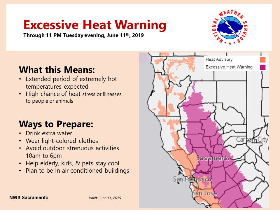
At 953PM, ET, Yuba City was reporting clear skies with a temperature of 84 degrees. High pressure was in charge, with a few clouds seen over the high Sierras, remnants of afternoon convection. Heat advisories are in place for much of the region. Don’t expect substantial changes with high pressure remaining in place. Hopefully the diurnal convection in the high Sierras feels left out and give Yuba City a bit of shade. Otherwise, there might be an isolated storm in rest of the Valley, but I suspect clouds will be the main impact. Tomorrow – Hot with partly cloudy skies. High 100, Low 73 Tuesday – Fewer clouds, so warmer temperatures, High 106, Low 73
TWC: Tomorrow – Cloudy. High 98, Low 72 Tuesday – Plentiful sunshine. Hot. High 106, Low 70
AW: Tomorrow – Warm with partial sunshine; extreme heat can be dangerous for outdoor activitie High 99, Low 69 Tuesday – Partly sunny and hot; danger of dehydration and heatstroke if outside for extended periods of time High 107, Low 67
NWS: Tomorrow – Mostly sunny and hot, High 99, Low 72 Tuesday – Sunny and hot, High 104, Low 73
WB: Tomorrow – Mostly sunny in the morning then becoming partly cloudy, High 97, Low 71 Tuesday – Sunny, High 105, Low 69
WN: Tomorrow – Partly cloudy, High 99, Low 72 Tuesday – Partly cloudy, High 104, Low 73
CLI: Tomorrow – Mostly cloudy, High 99, Low 70 Tuesday – Sunny, High 105, Low 69
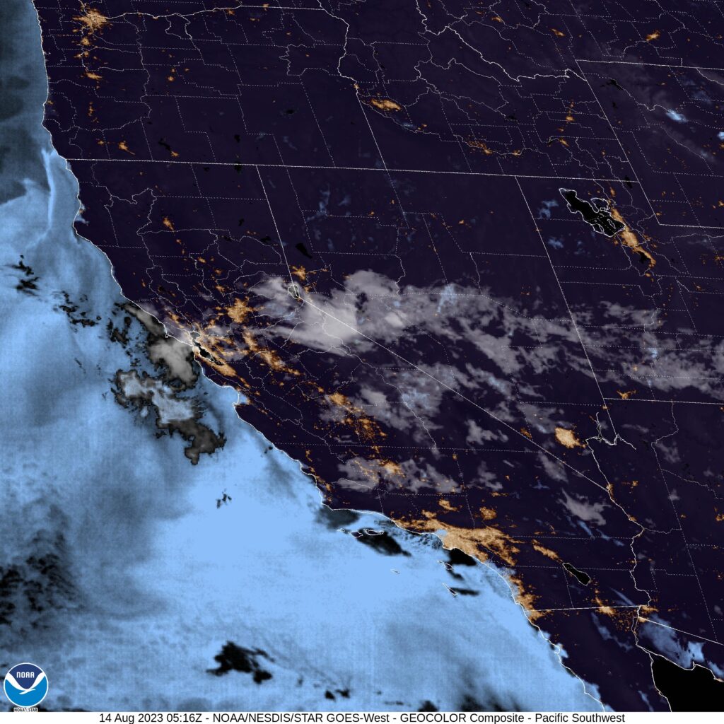
Not a lot on satellite tonight, but it is night that the plumes on satellite are clouds this summer, and not smoke.
Hi! Happy Saturday! We are heading into what is usually one of the busiest travel times of the year. This year will obviously be a little bit different, but the weather will still carry on, so let’s drop this three day forecast for the southwestern part of the country. Our drive will cover 1,606 mile at a pace of 67.6mph, which will indicate a pace of 541 miles on those first two days, and a shorter day on Tuesday. Let’s hit the old dusty trail.
DAY ONE (Sunday)
Yuba City, California
There is a bit of a system moving into the west coast this weekend, but in the part of the coast that you would expect it, not the Mojave desert or San Joaquin Valley. In fact, a thermal ridge suggesting pretty warm temperatures will be in place as we drive through the Golden State. We won’t make it out, stopping at the dusty oasis of Ludlow.
DAY TWO (Monday) Low pressure dives in from the Pacific Northwest to the central Rockies on Monday, and by the end of the day, may start causing some issues in the higher terrain. We will drive from Ludlow through Arizona without any concerns, buy in the last couple of moments, some rain and elevation snow may be possible in New Mexico. We will still remain mostly dry, stopping for the night in Mesita, west of Albuquerque.
DAY THREE (Tuesday) The low in the center of the country will deepen fairly quickly as it descends into the Plains. Not a lot of wet weather will move into eastern New Mexico and west Texas, but a healthy rush of cold air will run into the region. There will be a few storms ahead of us, but they will be out of Abilene before we get there. Bundle up, furnaces aren’t as efficient in this part of the world.
Abilene, Texas
By Atownbman – Own work, CC BY-SA 4.0, https://commons.wikimedia.org/w/index.php?curid=74638447
last week, we looked at a forecast in Yuba City, north of Sacramento. Whenever I think of interior northern California, I think of mountains, trees and milder weather than the inferno to the south. It gets plenty hot in the northern Valley too, though. Yuba City hit 102 on Wednesday, but faced a significant cool down on Thursday. 93! In fact, that 93 was cooler than any outlet had in the forecast. what a relief, right? Weatherbug beat the heat and had a very good score to earn the win. Actuals: Wednesday – High 102, Low 70 Thursday – High 93, Low 64
All right! It’s finally time to get a forecast under our belt this month. We’ll do so with a trip to northern California, where last summer the concern was wind and wild fires. It’s been much wetter this year, so let’s hope the fire danger is mitigated.
At 758AM, PT, Yuba City was already reporting 79 degrees under fair skies. High pressure dominated the west coast, and it promised to be a hot day in the central Valley. An excessive heat advisory was already in place. There is a weak undercutting wave moving through the north Pacific that will arrive tomorrow, and may bring some high clouds and perhaps a dose of cooler weather on Thursday. The upper ridge will diminish through the period, but the low level thermal ridge isn’t expected to go anywhere, and even if temperatures moderate, it will still be hot. Tomorrow – Fair, High 100, Low 67 Thursday – mostly sunny, High 95, Low 64
TWC: Tomorrow – A few passing clouds, otherwise generally sunny. Hot. High 103, Low 68 Thursday – Mostly sunny skies High 97. Low 64
AW: Tomorrow – Mostly sunny; hot; extreme heat can be dangerous for outdoor activities High 102, Low 68 Thursday – Sunny; hot; air quality will be unhealthy for sensitive groups High 95, Low 64
NWS: Tomorrow – Sunny and hot, High 101, Low 70 Thursday – Sunny and hot High 97, Low 67
WB: Tomorrow – Mostly sunny, High 101, Low 70 Thursday – Sunny, High 94, Low 64
WN: Tomorrow – Mostly sunny, High 101, Low 70 Thursday – Sunny, high 97, Low 67
FIO: Partly cloudy until afternoon. High 98, Low 71 Thursday – Clear throughout the day. High 94, low 65
Hot! Here is a look at the heat warnings, geographically, across northern California right now.