Decatur, Illinois to Bowling Green, Kentucky

You… you want to go for a drive? Tomorrow, in the Ohio Valley? Good luck with all that. If you insist on taking this trip it will cover 287 miles and in good conditions, would take a little over 5 hours. These will not be good conditions. The pace would be set at about 55mph, but it will be slower driving tomorrow through this part of the country. I can’t recommend in stronger terms that you do not actually make this drive tomorrow.

Decatur, Illinois

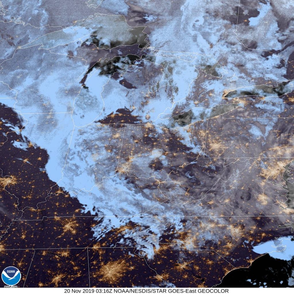
We’re watching a massive storm, with blizzard implications in the northern US charging towards the Great Lakes. The system will look like a typical summer time system, and the cold front will charge into Decatur shortly after noon. We’ll already be about to Effingham when it arrives, and this snow will arrive with some intensity. Snow totals will be lighter because there are warmer temperatures than further to the north, but winds will be very strong. There could be a little bit of rain before we see clear skies again, think around Evansville, with dry conditions returning in Kntucky. While in Bowling Green, though, all hell will again break loose, so hunker down.

Bowling Green, Kentucky

A splashy send off to November

Rain was on the way when we looked at Decatur at the end of the last month, and arrive it did. An inch and a third fell the morning of the 30th, sending temperatures down to below freezing by the end of the day. It was dry, fortunately, to start December, though it was cooler than it had been by quite a bit just two days before. Weatherbug nabbed this transitional forecast victory.
Actuals: Nov 30th – 1.32″ of rain, High 62, Low 31
Dec 1st – High 50, Low 26

Grade: B-C

Decatur, Alabama

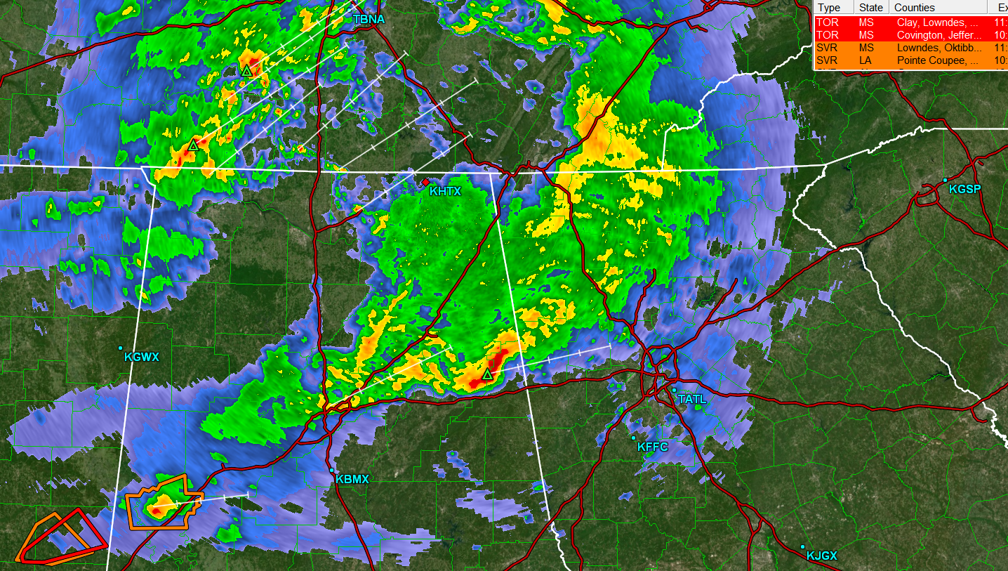
Tonight’s forecast takes us to an area under threat for severe weather. The strongest storms are in Mississippi, but northern Alabama remains in a slight risk for severe weather.

At 853PM, CT, Decatur was reporting cloudy skies and a temperature of 63 degrees. Low clouds and cool temperatures across northern Alabama suggest that the threat for severe weather is likely over, however, there is plenty of rain and thunder across central Tennessee that looms as a possibility overnight. Flash flooding is always a possibility, but the strong winds and tornadoes will remain to the southwest.
The parent area of low pressure associated with tonight’s storms is moving north of the Great Lakes, while a secondary vorticity maximum was centered over western Kentucky, providing the atmospheric spin, and emphasis on moisture importation to the region tonight. As a unit, this feature is progressing swiftly to the east, and the threat of rain should be clear of Decatur by sunrise. The high pressure that builds behind this system will be stout but transient. The next two days will be cool and clear, a recovery after a rainy and stormy night.
Tomorrow – Rain ending early, then becoming sunny, High 58, Low 30
Thursday – Sunny, High 52, Low 27

TWC: Tomorrow – Some clouds in the morning will give way to mainly sunny skies for the afternoon (early rain). High 62, Low 33
Thursday – Some clouds in the morning will give way to mainly sunny skies for the afternoon. High 52, Low 29

AW: Tomorrow – Cooler with clouds giving way to sun; breezy in the afternoon (Early Rain) High 60, Low 34
Thursday – Sunshine, High 52, Low 29

NWS: Tomorrow – Partly sunny, then gradually becoming sunny, (Rain early) High 67, Low 36
Thursday – Mostly sunny, High 51, Low 31

WB: Tomorrow – Much cooler, mostly sunny (Early rain), High 62, Low 33
Thursday – Partly cloudy, High 50, Low 30

WN: Tomorrow – Partly cloudy with showers and scattered storms, High 64, Low 36
Thursday – Partly cloudy, High 51, Low 32

FIO: Tomorrow – Heavy rain overnight and in the morning. High 63, Low 34
Thursday – Partly cloudy throughout the day. High 51, Low 29

Temperatures tomorrow will be falling through the day as high pressure settles in. Some rain looms to the northwest, but mercifully, none of it will bring terrible storms.

Cooler air slogs into central Illinois

A big blob of rain, with a few thunderstorms embedded within a big swirling low inched towards Decatur late last week. Since late Wednesday night, that rain has made it as far as the Great Lakes. So it rained in Decatur during our forecast period of Thursday and Friday, but the radar was less and less intense as time went on, and temperatures dropped off to become seasonable, and eventually, below normal. If there was a silver lining to all the clouds, it was that forecasts for the region were pretty good. Forecast.io gets top marks.
Actuals: Thursday – High .09 inches of rain, High 79, Low 60
Friday – .13 inches of rain, High 63, Low 51

Grade: A-C

Augusta, Georgia to Decatur, Illinois

The Masters start tomorrow in Augusta, and if you are a local, I bet it’s not your favorite time of year. So why not get out of town, say, by driving as far as you can in one long day. It will take almost 12 hours to get from Augusta to Decatur, covering about 744 miles at a pace of about 64.5mph. It’s definitely going to be an adventure!

Augusta, Georgia

Low pressure in the mid-Mississippi Valley is rapidly occluding, which means it is slowing down and weakening. As a result, it’s not going to clear the route by the time we get moving, but it’s also not going to provide a lot of heavy weather as we drive on Thursday. There will be some rain and isolated thunder with the tail of the front in the high terrain northwest of Atlanta to about Murfreesboro, Tennessee. At that point, we will get into a dry slot, which will be cloudy and glum, but OK for driving. The dry slot will last for the rest of the day, though the further north, and closer to Decatur we get in while driving in southern Illinois, some light rain becomes more and more likely. So don’t go any further north than Decatur, I guess, is what I’m saying.

Decatur, Illinois

Decatur, Illinois

Central Illinois is calling our name this evening.

At 1054PM, CT, Decatur was reporting clear skies with a temperature of 66 degrees. An active area of low pressure west of the Mississippi was drawing warm moist air north into Illinois, lending to the stuffy overnight temperatures, but a great deal of rain, with embedded thunderstorms was on it’s way. Fortunately, the warmer weather should continue through most of the day tomorrow.
The sharp curl to the upper jet will induce occlusion of the system through tomorrow morning, slowing the system down and taking the teeth out of the precipitation as it moves through Decatur. Severe weather, and even strong thunderstorms are unlikely. Wet weather will arrive in the evening in Decatur on Wednesday, with rain continuing, heavy at times through Thursday morning. Cooler, damp air will linger later in the day on Thursday as low pressure parks itself in central Illinois. With a murky upper level pattern, the lingering moisture over Decatur will help set the stage for shower and thunderstorm activity later this week.
Tomorrow – Late rain, some thunderstorms close to midnight, High 77, Low 60
Thursday – Heavy rain, then overcast with spots of drizzle, High 61, Low 52

TWC: Tomorrow – Cloudy in the morning with scattered thunderstorms developing later in the day. High 77, Low 60
Thursday – Cloudy early with showers for the afternoon hours. High 60, Low 53

AW: Tomorrow – Some sun, then increasing clouds and windy; a thunderstorm in spots in the afternoon High 77, Low 61
Thursday – Mainly cloudy, breezy and cooler with a couple of showers High 61, Low 52

NWS: Tomorrow – A 20 percent chance of showers after 2pm. Partly sunny, High 75, Low 60
Thursday – A 40 percent chance of showers after 1pm. Partly sunny High 60, Low 52

WB: Tomorrow – Mostly Sunny, 20% chance of rain showers in the afternoon, High 75, Low 61
Thursday – Cooler. Partly sunny with a 50% chance of rain showers, High 61, Low 55

WN: Tomorrow – Partly cloudy with scattered showers, High 75, Low 60
Thursday – Partly cloudy with scattered showers. High 59, Low 52

FIO: Tomorrow – Rain overnight and in the evening. Hugh 77, Low 5
“Thursday – Rain until morning, starting again in the evening. High 65, Low 51.

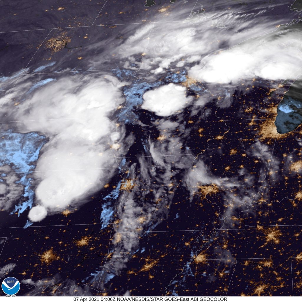
Illinois looks nice on satellite, but those poufs of cumulonimbus west of Mississippi bear watching.

Lost in a fog

Forecasts for Decatur were generally not too bad, save for one nasty verifying period: Wednesday morning. Even if they didn’t explicitly say they were expecting fog in their forecast (erm, I guess that was only me) it was still in the back of our minds. Decatur did see visibilities drop to a quarter of a mile in the morning, and despite that, temperatures continued to drop, all the way to 26. The 3 coolest morning lows all collected the three top forecasts, with The Weather Channel and Forecast.io earning victory. The temperature tracking surrounding the occluded front on Thursday surprisingly didn’t play into the victory totals at all.
Actuals: Wednesday – High 51, low 26
Thursday – .24 inches of rain, High 58, low 40

Grade: B-C

Reno, Nevada to Decatur, Illinois

A trip through the Rockies and Plains as a vigorous system moves through the region… I see no reason to worry! Our three day trip will feature an extended third day, and 1,861 total miles covered. We’ll navigate the terrain of the Rockies in our shorter two days, which will conclude after 551miles of travel, all at an average pace of about 69mph. Nice.

DAY ONE (Thursday)

Reno, Nevada

There is a string of features extending from the northern Praries of Canada to the High Plains to the southwestern US. Epic rains are falling around Phoenix and in the southern Rockies, with snow falling at the highest peaks. By the time we get going tomorrow, the system will have weakened, with precipitation becoming limited to the upper elevations along our route. We may not see any precipitation on the roads, but there will be some nearby, in the Ruby Range in northeast Nevada, and by Park City, Utah. We’ll stop in Coalville, not too far beyond Park City.

DAY TWO (Friday)
As high pressure filters back into the High Plains, moisture will be scoured out of the low lying terrain. We might see some mid level or high clouds as we trek through Wyoming, north of the snow falling in the peaks of Colorado. Wyoming has a lot of beautiful parts, but none of them are along I-80, so hustle through and get to the western part of Nebraska, where we will stop in Brule for the night.

DAY THREE (Saturday)
The very same system that we saw on Thursday will be sweeping through the Lower Mississippi Valley, shuttling to the northeast. An inverted trough at the north end of the low will be pointed into Illinois, into some chilly air. Nebraska and Iowa should be sunny and dry, but the threat and intensity of snow will increase the closer we get to Decatur.

Decatur, Illinois

Decatur, Illinois

I feel like the heart of Illinois is a good place to really see what synoptic scale weather patterns can do

AT 854PM, CT, Decatur was reporting a temperature of 36 degrees. Above freezing temperatures after fresh rain and snow have led to low clouds and fog beginning to develop in the region thanks to clear skies and calm winds. After what should be a foggy morning tomorrow, emerging low pressure in the High Plains will drive warm air northward throughout the day tomorrow.
Decatur is far enough south that the emerging low will bring a threat for rain or even an isolated rumble of thunder as the feature slides north towards the Upper Midwest and sends an active cold front into Illinois by sunrise. The system is going to be fast moving and will be through by the early afternoon, leaving a chilly but clear evening by Thursday.
Tomorrow – Partly cloudy, High 50, Low 32
Thursday – Rain early, at times heavy, High 54, Low 41

TWC: Tomorrow – Areas of patchy fog early. Sunshine and clouds mixed. High 51, Low 29
Thursday – Showers in the morning then continued cloudy and windy in the afternoon. High 59, Low 44

AW: Tomorrow – Sunny to partly cloudy and milder High 52, Low 32
Thursday – Breezy and mild in the morning; otherwise, cloudy with showers, mainly early in the day High 60, Low 45

NWS: Tomorrow – Widespread fog, mainly before 8am. Otherwise, partly sunny, High 53, Low 33
Thursday – Rain, mainly before noon High 61, Low 43

WB: Tomorrow – Partly sunny, Widespread fog in the morning, High 49, Low 31
Thursday – Rain in the morning, then a chance of rain in the afternoon, High 57, Low 41

WN: Tomorrow – Partly cloudy, High 53, Low 33
Thursday – Partly cloudy with light rain, High 61, Low 46

FIO: Tomorrow – Mostly cloudy throughout the day. High 49, Low 28
Thursday – Light rain and windy in the morning. High 61, Low 41

It’s going to be a pretty virulent system that moves through the country this week, but if there is any good news, it’s that it is moving through now, rather than later in the season, when more snow would fall, or in the spring, when severe storms are likely. Here, we can just see fog developing.