A fun thing about forecasting in the foothills of the Rockies is that it’s tough to say with certainty exactly how your forecast is going to be off. You know that something will go sideways, but what, exactly? In the instance of Colorado Springs, it was our forecast lows on both Saturday and Sunday. We all saw clear overnight skies, which should have meant chilly morning lows. Alas, it was not to be. There were favorable winds for warming up the region, especially some howling southerlies on Sunday, and the cool temperature ended up a full 10 degrees warmer than most forecasts. Colorado springs embarrassed most outlets, but The Weather Channel held on for a W. Actuals: Saturday, High 52, Low 41 Sunday, High 59, Low 41
We’re taking a three day trek to start the weekend, headed from the coast to the mountains. Our drive will cover 1,766 miles, with the first two days concluding after 565 miles and a surprisingly brisk 70.6mph pace.
DAY ONE (Saturday)
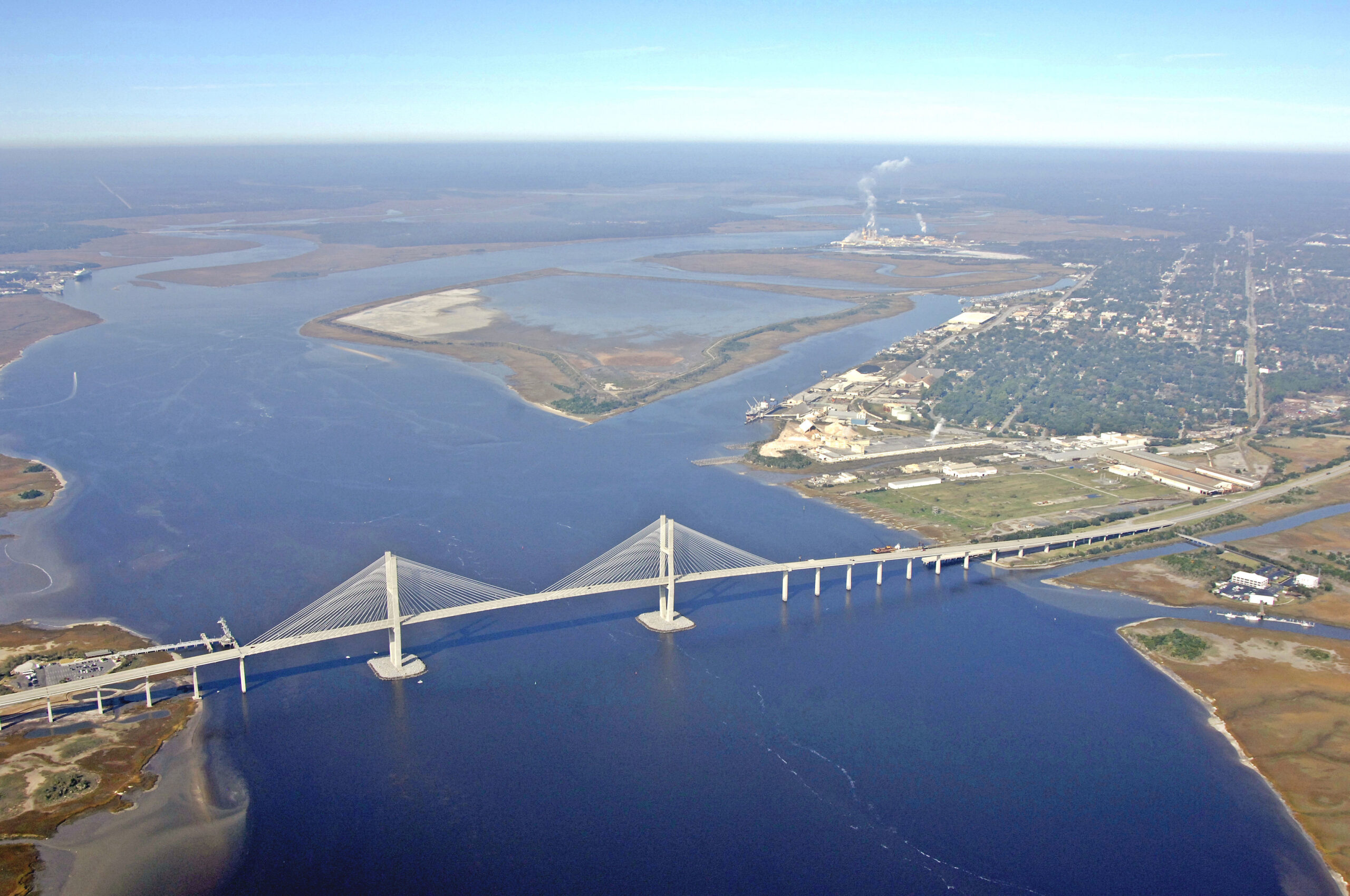
Brunswick, Georgia
There is a bit of drizzle on the Georgia Coast tonight, but the vast feature responsible for it is moving along responsibly. It will be dry in Brunswick by morning, and the length of our drive will remain so. This is good news, because winter driving in Atlanta and Birmingham can be hairy when things go sideways. We’ll get through both cities just fine, and end our day in Fulton, Mississippi.
DAY TWO (Sunday) A large, broad trough that’s been hanging out at the upper levels of the western US for a couple of days is going to dampen out which will kick a lot of the wintry weather back north, and allow the mid-south to remain warm and dry. We will see mostly sunny skies through Memphis and Tulsa, eventually settling into Hallett, Oklahoma without seeing much.
DAY THREE (Monday) As the jet sets up a west to east course through the northern US, a strong boundary will also set up from the northern Rockies through the Dakotas. This is where the action will be. Oklahoma, Kansas and Colorado will be action free, and unseasonably warm.
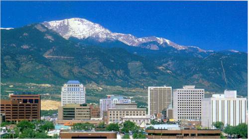
We’ve been out east for quite some time, so to conclude January, we are going to the Front Range to see what is going on in the Mountain Time Zone.
At 1254PM, MT, Colorado Springs was reporting a temperature of 47 degrees with clear skies. Flow was scattered throughout the region, but upsloping a bit near Colorado Springs, making it the cold spot in the area. The pattern right now is rather outsized, with a deep area of low pressure in the mid-Atlantic, and another large feature moving into the Pacific Northwest. Expect some dampening to the pattern over the weekend, however. The feature in the northwest will start pressing into the northern Rockies, putting eastern Colorado into a warm sector, though more upsloping may prevent Colorado Springs from getting as warm as the atmosphere would otherwise allow. By Sunday, a westerly flow will arrive, thanks to jet support flattening out. Warm air already in place will remain in southeastern Colorado, while precipitation will be stowed in Big Sky Country, leaving Colorado Springs a nice weekend. Tomorrow – Mostly cloudy, High 51, Low 28 Sunday – Partly cloudy, High 57, Low 30
TWC: Tomorrow – Intervals of clouds and sunshine. High 55, Low 35 Tomorrow – Partly cloudy skies. High 60, Low 36
AW: Tomorrow – Mild with times of clouds and sun High 61, Low 33 Sunday – Mild with sun through high clouds High 66, Low 38
NWS: Tomorrow – Partly sunny, High 55, Low 28 Sunday – Mostly sunny, High 58, Low 33
WB: Tomorrow – Partly sunny, High 49, Low 26 Sunday – Partly sunny, High 57, Low 31
WN: tomorrow – Partly cloudy, High 55, Low 28 Sunday – Partly cloudy, High 57, Low 36
CLI: Tomorrow – Mostly cloudy, High 54, Low 31 Sunday – Partly cloudy, High 60, Low 36
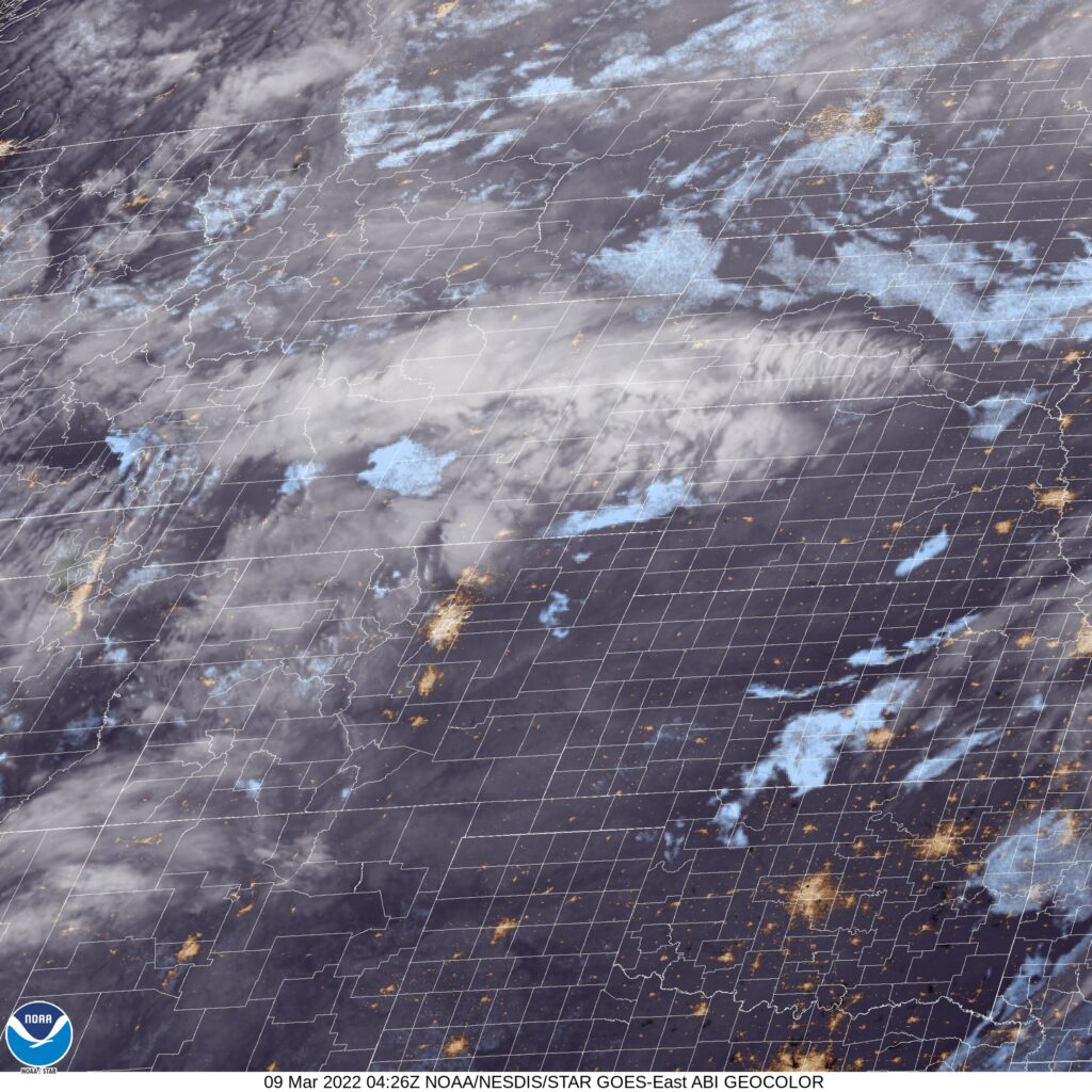
Man, temperatures are all over the map, aren’t they? I’m feeling a little bit uneasy about going any higher tomorrow, but temperatures today are having such a tough time getting any warmer, so I’m going to live with it. Here is the satellite, with some low clouds north of the Palmer Divide, and some higher stuff back in the western Colorado Rockies.
I spoke too soon after confidently revealing the results of the verification in New Haven. The weather in Colorado Springs as the first third of the month concluded was poised to go downhill, but like the Rockies to the west, the slope was steep. Steeper than expected, frankly, and it resulted in some of the worst forecasts I’ve seen in a while. Snow was able to clear the Palmer Divide relatively early on Wednesday the 9th, and it was accompanied by cold air, without any of the bump that downsloping usually allows. it was one of the worst forecasts I’ve seen in a while, frankly, as temperature got significantly colder faster than anyone really expected. Then, there is Forecast.io who was a disaster, not even having snow in the forecast at all. Yikes all the way around. The Weather Service was merely bad, and not terrible, and secured this victory. They shouldn’t feel good about it, though. Actuals: March 9th, snow, High 28, Low 3 March 10th, snow reported, not measured, High 12, low 0
Spring break! Georgia has some great vacation destinations, though I’m not entirely sure that Albany is a site many are thinking of. Our drive for this trek will take three days, with the final day a bit shorter. We’ll cover 543 miles at a day at a pace just shy of 68mph, ultimately traveling 1553 miles on our journey. It’s been active in the southeastern US. Will that continue?
DAY ONE (Sunday)
Colorado Springs, Colorado
As I noted, there have been a parade of strong systems moving through the Eastern US of late, and the most recent has just brought snow to the eastern Great Lakes and interior New England, with severe storms along the coastal Carolinas. Behind those features, high pressure has been returning to the Plains and Mississippi Valley. It’s been a chilly start to March, but warm air will start building north on Sunday in western Kansas. It won’t be warm, but it will be warmer as we end the day in Lawrence, Kansas.
DAY TWO (Monday) The next ripple will arrive in the Plains by the beginning of the week, but will initialize with a bit less vitriol than our most recent system. It will get there, but it won’t bother us too much on Monday. Guidance hints at some very scattered showers in Missouri, but they won’t be heavy enough to be a problem in the unfortunate event we pass through one. That threat should abate as soon as we cross into Illinois. Expect mostly cloudy skies with temperatures approaching seasonable in western Kentucky. We will finish the day just across the border in Clarksville, Tennessee.
DAY THREE (Tuesday) A much more focused wave will develop over the lower Mississippi Valley on Tuesday, and will quickly start moving towards our route. Light precipitation will start on the north end of the Atlanta metro. I feel like we should be dry in the high country, so we can save the fun for the chaos of Atlanta traffic. The real show comes around Macon, when thunderstorm activity will become more widespread and intense. Severe weather, including hail and tornadoes, isn’t out of the question. That will probably be the scene in around Albany when we arrive. Get indoors quickly!
In terms of the weather, and especially in the spring, many systems originate in the lee of the Rockies, right here in eastern Colorado. Let’s check out what is getting started over the next couple of days.
At 1054PM, MT, Colorado Springs was reporting a temperature of 27 degrees with clear skies. A vast trough over much of the western 2/3rds of the country is keeping things unseasonably cool. Within the trough, a weak wave has brought light precipitation to the upper Midwest, with a cold front extending to a knot of precipitation centered over Wyoming. At this time, all snow is being penned north of the Palmer Divide, however the entrance of the broad trough is partially responsible for this low, and will give the feature a bit of emphasis in the coming days. Despite the snow currently just over the state line in Wyoming, it will take until late tomorrow afternoon for the snow to reach Colorado Springs. Snow will continue intermittently, as the forcing mechanism will struggle to traverse the divide, and will be oriented west to east across the foothill of the Rockies. The boundary will stall across southern Colorado, but precipitation is going to be light. The lingering clouds and flow off the Divide will help prevent a massive cool down, but Thursday will certainly be chillier. Tomorrow – Increasing clouds with snow late, High 35, Low 16 Thursday – Scattered snow showers, lighter in the afternoon, High 19, Low 5
TWC: Tomorrow – Partly cloudy skies during the morning hours will give way to occasional snow showers in the afternoon. High 30, Low 13 Thursday – Cloudy skies with afternoon snow showers. High 19, Low 6
AW: Tomorrow – Sunny to partly cloudy in the morning, then a coating to an inch of snow in the afternoon High 33, Low 12 Thursday – Colder with periods of snow, accumulating an additional 1-3 inches High 17, Low 8
NWS: Tomorrow – Snow, mainly after 2pm. Patchy blowing snow after 4pm. High 32, Low 8 Thursday – Snow showers likely, mainly after 11am. Mostly cloudy, High 19, Low 3
WB: Tomorrow – Mostly cloudy Periods of snow in the afternoon. Patchy blowing snow in the afternoon, High 32, Low 13 Thursday – Snow showers likely. Light snow accumulations, High 17, Low 9
WN: Tomorrow – Mostly cloudy with light snow, High 31, Low 13 Thursday – Mostly cloudy with light snow showers likely, High 18, Low 3
FIO: Tomorrow – Mostly cloudy throughout the day. High 34, Low 15 Thursday – Overcast throughout the day. High 22, Low 8
Accuweather has a storm total of 4-8 inches of snow in Colorado, while Forecast.io doesn’t have any snow in the forecast. One of them will be wrong. All told, I think 2-4″ of fluff is the most likely scenario in Colorado Springs.
Last Wednesday, when we were looking at Colorado Springs, we checked out the radar. Flurry activity stayed in the Denver area, north of the Palmer Divide. This topographic barrier slowed precipitation, which was mighty, in the Denver area through the end of the week, as a nother round of wet weather descended upon the Plains. Mind you, it eventually did bring Colorado Springs quite a bit of nasty weather, but that was on the weekend, after the forecast period expired. There was a little spritz light wintry weather on Friday night, but not the deluge expected for late week by some outlets. Temperatures stayed much cooler than anticipated, which is a flaw that can show up in the Rockies. That’s just the way it goes. The Weather Channel was the top forecast, but it was rough. Actuals: Thursday – High 38, Low 25 Friday – .03 inches of mixed precip, High 32, Low 27
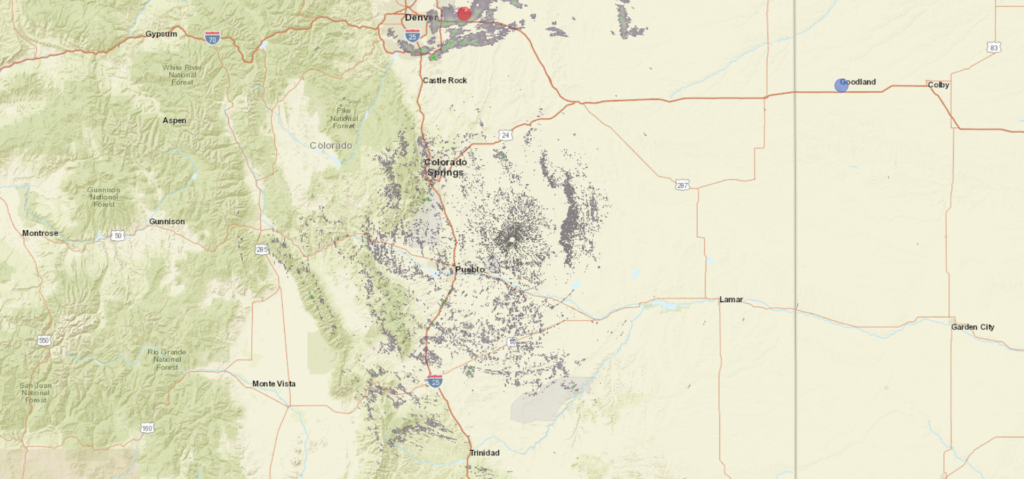
The Palmer Divide separates Denver from Colorado Springs, and though the topographies of the individual cities may appear similar, they often have very different weather fortunes. Let’s see what happens in Colorado Springs to round out the week.
At 854AM, MT, Colorado Springs was reporting a temperature of 45 degrees with a brisk west wind, gusting to 35mph with scattered clouds. An area of low pressure over the central Plains was leading to a wet day across the Northern Plains, with some light snow wrapping in from the north for Denver. South of the Palmer Divide, things were looking significantly drier, and the winds across the region were leading to red flag warnings for the Colorado High Plains. Jet flow should remain fairly consistent across the region for the remainder of the week, southwest to northeast, though flow through the jet will continue to strengthen. A trough will begin to propagate along the jet stream in the western United States overnight Thursday to Friday, which will invigorate a warm front in the Plains, and will eventually lead to cyclogenesis in the southern High Plains. Skies will be fairly cloudy throughout the period, thanks to the flow aloft, but they will darken further late Friday, with a chance for a stray drizzle or flurry before midnight and a stormy weekend. Tomorrow – Mostly cloudy, High 45, Low 23 Friday – Increasing clouds, wintry mix late, High 40, Low 25
TWC: Tomorrow – Partly cloudy. High 45, Low 26 Friday – Partly cloudy skies during the morning hours will give way to cloudy skies with light rain and snow developing in the afternoon High 40, Low 26
AW: Tomorrow – A bit of morning snow with little or no accumulation followed by a little rain in the afternoon High 47, Low 24 Friday – Cloudy with a little snow with little or no accumulation, mixing with, then changing to rain High 44, Low 28
NWS: Tomorrow – Mostly sunny (Late snow) High 47, Low 24 Friday – A chance of snow before 3pm, then rain likely, possibly mixed with snow. Mostly cloudy, High 41, Low 26
WB: Tomorrow – Mostly cloudy in the morning then becoming mostly sunny, High 46, Low 28 Friday – Mostly cloudy. Slight chance of snow in the morning then chance of snow possibly mixed with rain in the afternoon, High 40, Low 29
WN: Tomorrow – Partly cloudy, High 47, Low 24 Friday – Motly cloudy with light wintry mix likely, High 42, Low 26
FIO: Tomorrow – Partly cloudy throughout the day. High 50, Low 28 Friday – Foggy overnight and in the evening. High 47, Low 30
Guidance is pretty reluctant to put much precipitation in Colorado Springs Friday night, but many outlets are going hard for a miserable end to the work week. Look at the radar below, with snow, deceptively heavy, up in Denver and nothing in Colorado Springs. That Palmer Divide sure lives up to it’s billing!