Honestly, is there anything better than referring to an entire region as “The Metroplex?” I’m not sure there is. It sounds so futuristic.
At 853PM, CT, Dallas was reporting a temperature of 50 degrees with fair skies. There was a strong cold front trailed along the Gulf Coast which was bringing quite a bit of rainfall east of Texas, but the real story for the week is the strong Arctic trough plunging into the eastern two thirds of the country.
A sharp perturbation at the nadir of the jet trough will make for some wintry weather through the southern Plains tomorrow morning, but all guidance seems to agree that Dallas will remain south of the jet stream over the weekend. A few scattered showers may crop up in the Piney Woods, but the Dallas appears to be looking for a dry, cool, windy weekend.
Tomorrow – Mostly cloudy early, clearing and breezy, High 60, Low 44
Sunday – Sunny and brisk, High 61, Low 33
TWC: Tomorrow – Mostly cloudy early, then afternoon sunshine. High 58, Low 43
Sunday – Partly cloudy skies. High 62, Low 34
AW: Tomorrow – Plenty of Sun, High 56, Low 34
Sunday – Mostly sunny, High 62, Low 33
NWS: Tomorrow – Mostly cloudy, then gradually becoming sunny, High 60, Low 40
Sunday – Sunny High 61, Low 34
WB: Tomorrow – Mostly cloudy in the morning, then clearing, High 55, Low 43
Sunday – Sunny, High 56, Low 36
WN: Tomorrow – Partly cloudy, High 60, Low 40
Sunday – Mostly sunny, High 61, Low 34
FIO: Tomorrow – Partly cloudy throughout the day. High 64, Low 41
Sunday – Clear throughout the day. High 61, Low 43
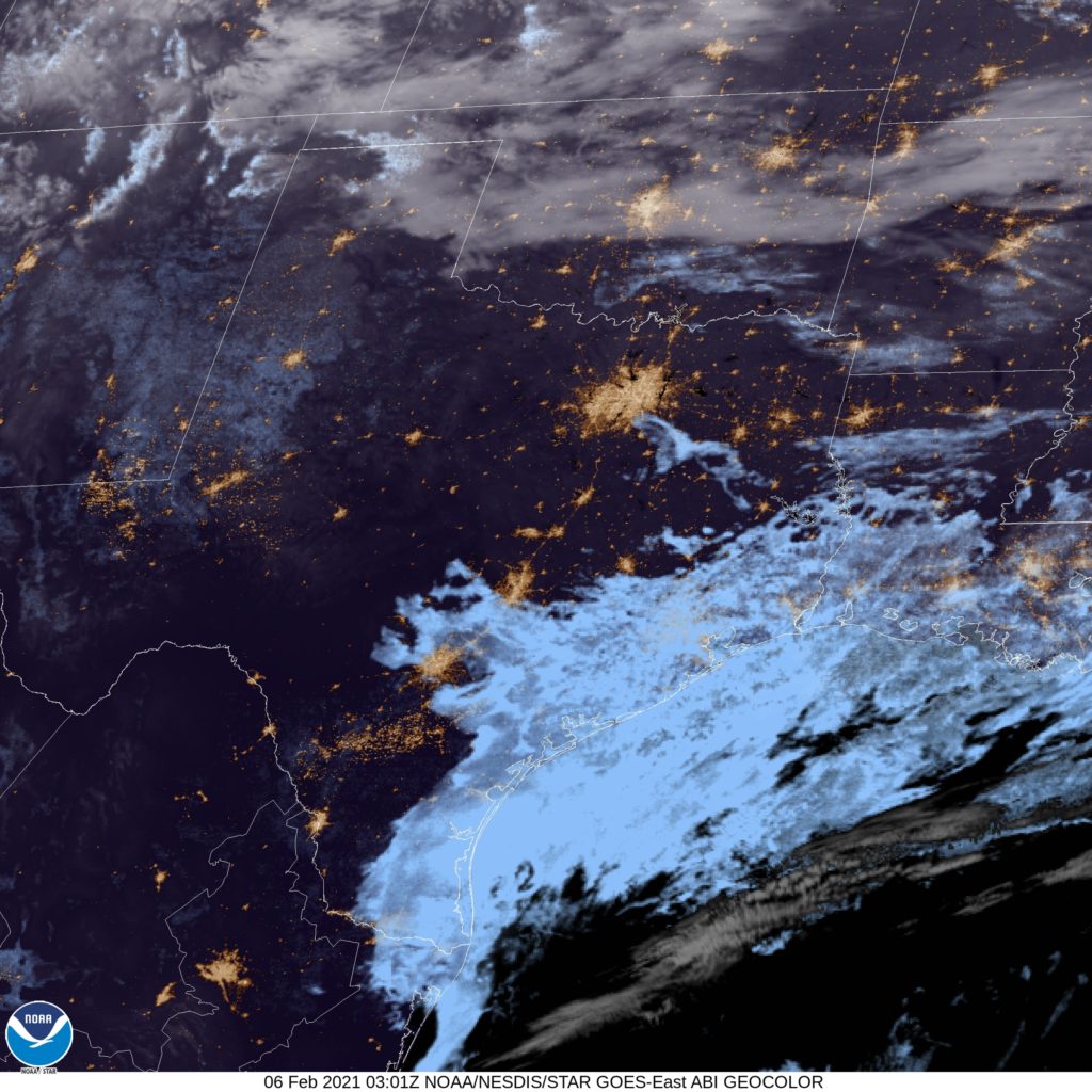
Here is the satellite imagery for Dallas tonight, with the bright clouds over east Texas thanks to the cold front, while the jet itself is represented by the lighter clouds to the north. Keep an eye in Oklahoma for a real mixed bag tomorrow morning!


Comment (1)