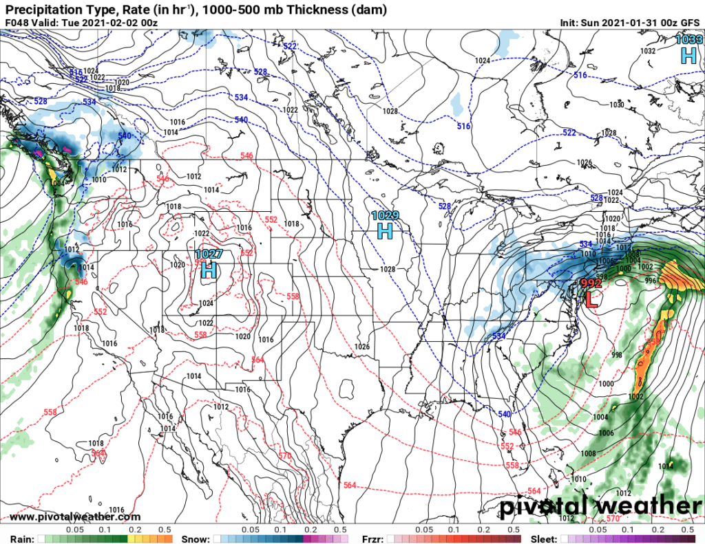
There is fairly nasty system moving through the middle of the country tonight, bringing a lot of snow to the southern Great Lakes and some rain and thunderstorms to the Tennessee Valley. While that’s a big deal for people currently caught in the storm, it will become a bigger news storm tomorrow and on Monday.
The feature is very well organized right now, but as it approaches the Appalachians, the primary surface low will stall over Ohio, with the primary thrust of moisture shifting offshore through early Monday morning. While snow will begin Sunday, the really pivotal point in the life cycle of this storm, and the story this feature will tell will come on Monday morning.
The leading batch of moisture will start to reorganize in the open waters of the Gulf Stream. Most guidance suspects that the center of circulation will organize south of the eastern end of Long Island. This will mean a boatload of heavy wet snow for southern New England.

That is the common consensus for Monday evening. Heavy snow falling over the entirety of southern New England, except over Cape Cod, where heavy rain is likely. One prominent model, however, is changing things up just a little bit. It organizes this redeveloping low off the coast of southern New Jersey. It’s just far enough west that a little bit warmer air aloft infiltrates, and then we get this:

Because most of the models agree on what will happen, the forecast from the National Weather Service calls for a likely total of 11″ in New York City, with a maximum of 12″. There aren’t many things that can make this storm snow more than what appears likely right now. The uncertainty lies in that Euro, which brings in just enough warm air to reduce the potential snow down to 4″.
We’ll know a lot more by Monday morning, but it looks like a snowy start to the week and month for the Mid-Atlantic.
