Olympia, Washington to New York, New York

There is nothing more exciting than a January road trip, cross country through the northern US. What could go wrong? We’re going to travel for 5 days, covering 2,877 miles. Day 5 will be our longest day, after the first 4 days will be through after consuming 548 miles at a pace of 68.5mph. Don’t forget the scraper!

DAY ONE (Saturday)

Olympia, Washington

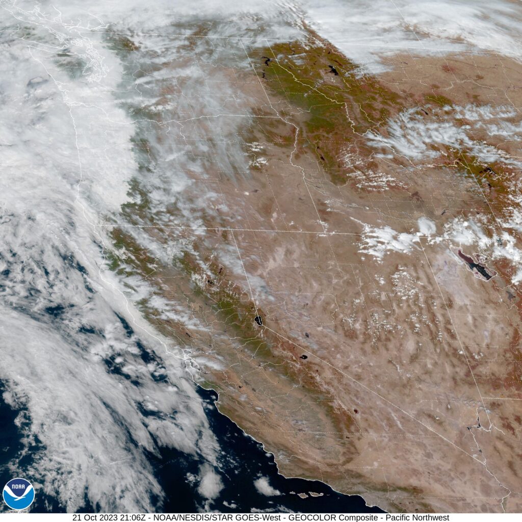
The rain will be falling in in western Washington as we get our drive started, and we can enjoy the Seattle area traffic in that same rain. Of course, we will be getting on I-94 near Snoqualmie, which means we will be forced to contend with some mountain snow through the Cascades. The system will be strong enough that we will still see some rain, albeit lighter, in the space between the Cascades and the northern Rockies. Visibility will be limited if we have designs on seeing Spokane as we pass by. The snow will return again in the western faces of the Rockies along the Idaho-Montana border, but the precipitation will finally be squeezed out of the feature, and when e get into the eastern facing valleys, ultimately stopping in Bearmouth, Montana, which is between Butte and Missoula.

DAY TWO (Sunday)
The system in question is headed southward through the weekend, which will rob Montana of much by way of potential snowfall. Upsloping flow will make it a little bit warmer from Bozeman to Big Timber. There will still be clouds throughout eastern Montana, but the precipitation will dry up as we hit flatter ground. We will reach the northeast corner of Wyoming and the small town of Colony to stop for the night.

DAY THREE (Monday)
While we sleep, the low pressure center is going to sink further south and east, tapping into some serious Gulf moisture as it intensifies. The bulk of the moisture is going to be spent in the central Plains, but an inverted trough will set up in the Upper Midwest. There will be a little bit of snow in western South Dakota overnight, but as we get moving, the first chance for falling snow will be around Chamberlain, as we cross the Missouri River. I say falling snow, because in South Dakota, there are no trees and there is a bunch of wind. Don’t be surprised if blowing snow is a major issue, even with just a couple of inches, maybe less. Steadier snow will continue in eastern South Dakota and into southern Minnesota. It’s been a quiet start to the winter in Minnesota, and the snow falling will be the first they’ve seen along I-90 this winter. It should be well managed, but it will be slow driving until we reach Blue Earth for our stop.

DAY FOUR (Tuesday)
Our drive Tuesday is going to be complicated, but at the same time, not so much. The system is well advertised as a big winter weather make headed for New England and the Mid Atlantic, but don’t sleep on the potential for big snow in the Great Lakes either. We will be fine, probably, through southeastern Minnesota and western Wisconsin, but it will take a sudden and fairly swift turn for the worse around Madison, and will be pretty nasty right on through Granger, Indiana, where we hope to make it for the night. Wind will be howling, making for ugly commutes throughout Chicago, as it will drive snow and make things very slow, and reduce visibility significantly. It’s a little ways out, but right now, the target maximum for snow is right through the heart of Chicago, and it could stack up 6-12″ in some spots. It will be a relief to reach Granger.

DAY FIVE (Wednesday)
The significant weather will be behind us by the time we head out on Wednesday, but much of the eastern Great Lakes will be cleaning up after this major winter storm. There will still be some howling west winds and some mountain snow through the Appalachians of Pennsylvania, but that threat will be winding down as the day continues. The wind, too, will start to wrap up as we head through the Poconos, ultimately arriving in New York, which will start getting itself back to normal as we arrive. Or whatever normal is for New York City.

New York City, New York
By Dllu – This file has been extracted from another file, CC BY-SA 4.0, https://commons.wikimedia.org/w/index.php?curid=126278106

Bring a coat!

Temperatures were expected to be on cool side in the afternoon in Olympia, thanks to a couple of waves pumping through the Pacific Northwest. The biggest surprise of the whole deal was that temperatures last Sunday started to plummet on the evening. Temperatures were significantly cooler than expected on Sunday, which really made scores look worse than they may actually have been. WeatherNation was able to sneak in for a victory, but scores were all pretty close.
Actuals: Sunday, .01 inches of rain, High 59, Low 44
Monday – High 55, Low 45

Grade: C

Olympia, Washington

We’re off to Washington for this weekend issued forecast. Olympia is the capital of Washington, and the southern most city on the Puget Sound. Let’s check out Western Washington.

At 154PM, PT, Olympia was reporting a temperature of 54 degrees with a low overcast that was blanketing most of the Sound. There was a little bit of rain mixed with these clouds moving north through Centralia, with a some light rain likely to come to the capitol in the next couple of hours.
A weak circulation off the coast is driving flow on shore, which is helping to encourage the thick layer of coastal clouds that Washington is enduring this morning. The low is not expected to deteriorate until a parent upper level trough moves onshore late tomorrow. There will be a break in the clouds on Monday morning, but the upper level flow will be reinforced, and a trough will redevelop over Vancouver. The threat on Monday night will be from rain, rather than simply from overcast, though most of the activity will come to the north Sound.
Tomorrow – Overcast through the afternoon, chance of a little bit of drizzle. High 61, Low 52
Monday – Breaks in the clouds early, then clouds return with some late showers, High 56, Low 47

TWC: Tomorrow – Areas of fog early, then partly cloudy in the afternoon. Slight chance of a rain shower. High 64, Low 51
Monday – Partly cloudy High 59, Low 47

AW: Tomorrow – Mostly cloudy with a shower in the area High 65, Low 49
Monday – Cloudy High 57, Low 46

NWS: Tomorrow – A 40 percent chance of rain. Cloudy, then gradually becoming mostly sunny,  High 61, Low 51
Monday – Mostly cloudy (late rain), High 58, Low 46

WB: Tomorrow – Mostly cloudy, High 60, Low 53
Monday – Mostly cloudy, High 56, Low 48

WN: Tomorrow – Mostly cloudy with scattered rain showers, High 60, Low 52
Monday – Mostly cloudy, High 57, Low 47

CLI: Tomorrow – Partly cloudy, High 63, Low 48
Monday – Mostly cloudy, High 58, Low 43

I think I am more aggressive with my rain forecast because of the rain falling with the weak system in the area today that isn’t being handled by the models.

Atlanta, Georgia to Olympia, Washington

We will travel from one capital city to the other over the next week or so, headed from the bustling Atlanta to the more serene Olympia over the course of 5 days. The drive will cover 2718 miles at a pace of about 68mph, and with a goal of 544 miles on any given day. I think it’s time we pack our things. Will we see any other capital cities along the way?

DAY ONE (Saturday)

Atlanta, Georgia

For the beginning of our long, cross country drive, all eyes will be to our south, where we will need to monitor Hurricane Delta, which will be expiring in the Mississippi Valley. A dangerous feeder band of showers and storms angling into Delta from the Tennessee Valley. Most of these will be rain storms with little lightning and thunder, but even without lightning or thunder, rogue tornadoes are always a possibility. As Delta erodes and we head north, the rain threat will dissipate, about as we cross the Ohio into Illinois, but it will still be overcast at day’s end. Day’s end will be in Caseyville, a St. Louis suburb.

DAY TWO (Sunday)
Low pressure developing in the plains will be robbed of moisture by the remnants of Delta, but the pressure squeeze of remnant hurricane, to ridge, to deepening area of low pressure will make for a very windy day as we head for the Plains. We will come very close to Kansas and Nebraska, but we will stay on the eastern side of the Missouri River before finally dipping across into far southeast South Dakota, and spending the night in North Sioux City.

DAY THREE (Monday)
There will be a distinct chill to the air as we spend most of our day in South Dakota. A cold front will pass us in the evening on Sunday with little to no fanfare. The after effects will be notable, as temperatures may struggle to climb above freezing. Still, it will be dry, which is a pleasant bit of news. We will clip Wyoming and make it to the ghost town of Hammond in southeastern Montana to end the day.

DAY FOUR (Tuesday)
This drive is looking very familiar. We have recently taken a drive across Montana for another long road trip, and our endpoints before we reached Bellingham, and that we stopped at before we reach Olympia are very similar. This time, we’re going to stop in Missoula after a pretty clear day. The back side of the system we saw in North Sioux City may leave a few whitecaps in western Montana, but it will be dry for our arrival.

DAY FIVE (Wednesday)
A pretty good system will move into the Pacific Northwest from the Gulf of Alaska in the early to middle part of next week. As we get going Wednesday, be sure to drive those mountain curves with caution, as they may be rain slicked, with some snow again possible above our elevation. By the time we reach the Cascade rain shadow in central and Eastern Washington, it will e as though nothing happened. Thanks, geography! When we reach Puget Sound, the Gulf of Alaska storm will have departed, but low clouds, drizzle and fog will remain. It will be a little bit clearer in Olympia, but still a bit dismal. Oh, and to answer the question at the top, despite all this driving will account for but one other capital city.

Olympia, Washington

Olympia, Washington

Today we’re going to visit the Pacific Northwest, and visit the capital of Washington! Let’s see how Olympia will fare as we head into midweek.

At 654pm, the temperature at Olympia, WA is 51 degrees under fair skies. An area of low pressure is intensifying over eastern Montana, and trailing a front back through ID into OR. This feature will be pushing out into the Plains throughout the day Wednesday, bringing some showers to the Central Plains. Behind this feature, an area of high pressure is settling in over the Pacific Northwest and looks to make it its home over the next couple of days. Some areas of dense fog are possible in the area tomorrow morning before burning off by midday. Some patchy fog is possible Thursday morning too, but will be less widespread. Both days will be dry, with temps lifting a smidge for Thursday.

Wednesday: Some morning dense fog, then becomes sunny. High 58, Low 41.
Thursday: Partly cloudy and a bit warmer. High 61, Low 37.

TWC: Wednesday: AM fog, PM sun. High 59, Low 43.
Thursday: Morning fog again, then afternoon sun. High 62, Low 41.

AW: Wednesday: Times of clouds and sun. High 58, Low 41.
Thursday: Mostly sunny and pleasant. High 62, Low 38.

NWS: Wednesday: Patchy fog then sunny. High 57, Low 42.
Thursday: Mostly sunny. High 62, Low 41.

WB: Wednesday: Partly sunny. High 56, Low 46.
Thursday: Mostly sunny. High 60, Low 42.

WN: Wednesday: Mostly sunny. High 57, Low 42.
Thursday: Partly cloudy. high 62, Low 41.

FIO: Wednesday: Partly cloudy throughout the day. High 58, Low 40.
Thursday: Mostly cloudy throughout the morning, clearing late. High 61, Low 37.

A bunch of high clouds are streaming over the area as a system gets revved up in the Northern High Plains. High pressure takes over the region keeping conditions fairly pleasant.