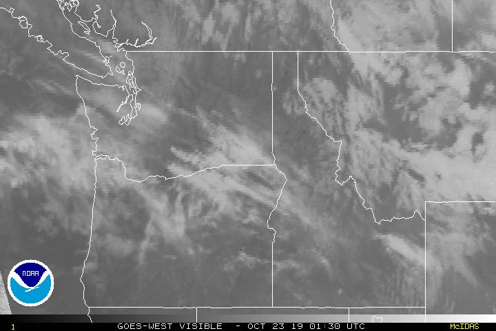
Today we’re going to visit the Pacific Northwest, and visit the capital of Washington! Let’s see how Olympia will fare as we head into midweek.
At 654pm, the temperature at Olympia, WA is 51 degrees under fair skies. An area of low pressure is intensifying over eastern Montana, and trailing a front back through ID into OR. This feature will be pushing out into the Plains throughout the day Wednesday, bringing some showers to the Central Plains. Behind this feature, an area of high pressure is settling in over the Pacific Northwest and looks to make it its home over the next couple of days. Some areas of dense fog are possible in the area tomorrow morning before burning off by midday. Some patchy fog is possible Thursday morning too, but will be less widespread. Both days will be dry, with temps lifting a smidge for Thursday.
Wednesday: Some morning dense fog, then becomes sunny. High 58, Low 41.
Thursday: Partly cloudy and a bit warmer. High 61, Low 37.
TWC: Wednesday: AM fog, PM sun. High 59, Low 43.
Thursday: Morning fog again, then afternoon sun. High 62, Low 41.
AW: Wednesday: Times of clouds and sun. High 58, Low 41.
Thursday: Mostly sunny and pleasant. High 62, Low 38.
NWS: Wednesday: Patchy fog then sunny. High 57, Low 42.
Thursday: Mostly sunny. High 62, Low 41.
WB: Wednesday: Partly sunny. High 56, Low 46.
Thursday: Mostly sunny. High 60, Low 42.
WN: Wednesday: Mostly sunny. High 57, Low 42.
Thursday: Partly cloudy. high 62, Low 41.
FIO: Wednesday: Partly cloudy throughout the day. High 58, Low 40.
Thursday: Mostly cloudy throughout the morning, clearing late. High 61, Low 37.
A bunch of high clouds are streaming over the area as a system gets revved up in the Northern High Plains. High pressure takes over the region keeping conditions fairly pleasant.

