We are traveling cross country this weekend, taking a solid 5 days through the northern US on our trek. It’s a 2,633 mile journey between the two cities in question, which we will do at a pace of 67.5mph. We’ll move quicker in the plains and slower through the mountains (Rockies AND Appalachians). All told, the goal will be 540 miles a day, at least through days 1-4.
DAY ONE (Friday)

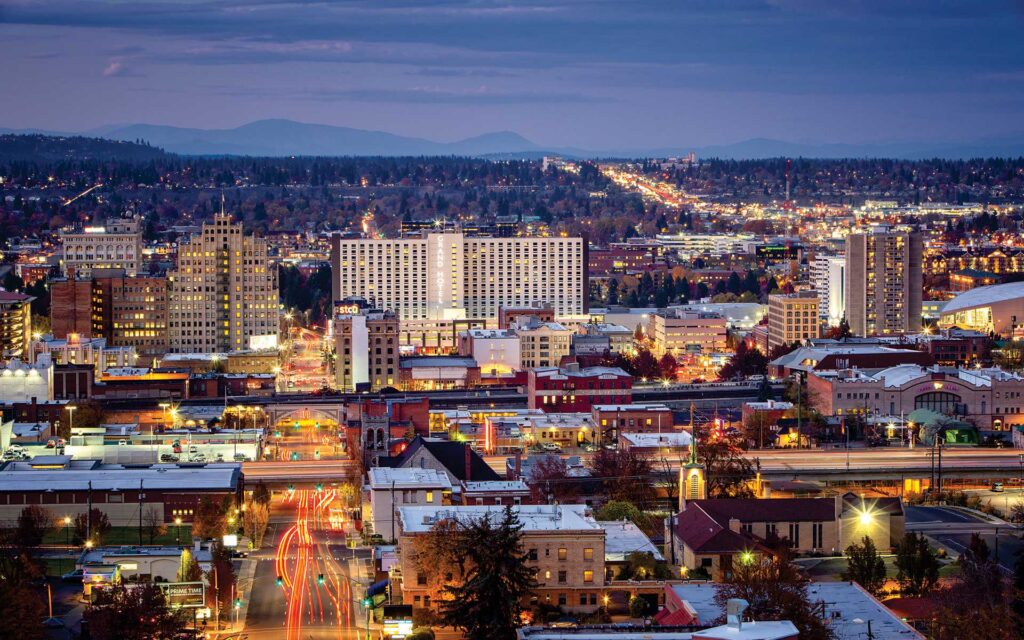
What a grimy, miserable pattern that is setting up in the northern US. It’s very busy, and it looks to be that way when we set out on Friday. A cold front will move ashore overnight, and light rain with valley fog will dot the northern Rockies through Idaho and about as far as Frenchtown, Montana, which is west of Missoula. If that wasn’t frustrating enough, the massive complex bringing severe storms to the Upper Midwest will rotate moisture and instability from the northeast — the northeast! — which will press up against the Front Range in Montana, bringing isolated showers and storms to a typically drier stretch of Big Sky Country. Isolated storms are possible, and overcast is likely from Missoula, through Butte and Bozeman and indeed on to Billings, where we will reside for the night. There is a silver lining, I guess, finding a large town to stop in for the night in Montana!
DAY TWO (Saturday)
OK, so there is some good news. The low in the north central US is lifting almost due north, which is allowing some more settled weather to develop in the middle of the country. This will leave a pretty good day of driving as we finish the drive in Montana, cut across Wyoming and finally enter South Dakota. We’ll navigate our way to Kimball, in the middle of the state, and call it a day.
DAY THREE (Sunday)
The good fortune will continue on Sunday, as winds will turn west-northwesterly behind an emerging cold front in the eastern Great Lakes. The big system, now in Canada, will start hustling off to the east, towards Hudson Bay by Sunday morning. A weak little trough will develop in the wake of the front, and could set off some very vague showers and storms in southeastern Minnesota and western Wisconsin by the late afternoon, but I would expect dry conditions in the Madison area as we end our weekend.
DAY FOUR (Monday)
That little post frontal trough is expected to move it about our pace on Saturday. Fortunately, it won’t really get active at any point during the day, but particularly early on as we try to get through Milwaukee and Chicago. Clouds and little bit of light rain will become increasingly likely late in the day as we bound through southern Ohio. We’ll make it to Jackson, which arrives just before the Ohio River and a border with West Virginia.
DAY FIVE (Tuesday)
All this worrying, and it looks like it won’t shake out too badly. Precipitation will be well off shore by the time we traverse Appalachia and settle into the Carolina Plain. Off shore breezes will even work to scour out the threat of morning fog that tends not to stay confined to the AM. Of course, it looks active again in the High Plains as we arrive in Rocky Mount, but maybe that is why we went to North Carolina instead of there?

