I am sure this is something you all know out in New England, but I learned recently that Springfield is actually serviced by Hartford’s Bradley International Airport. They are so close!
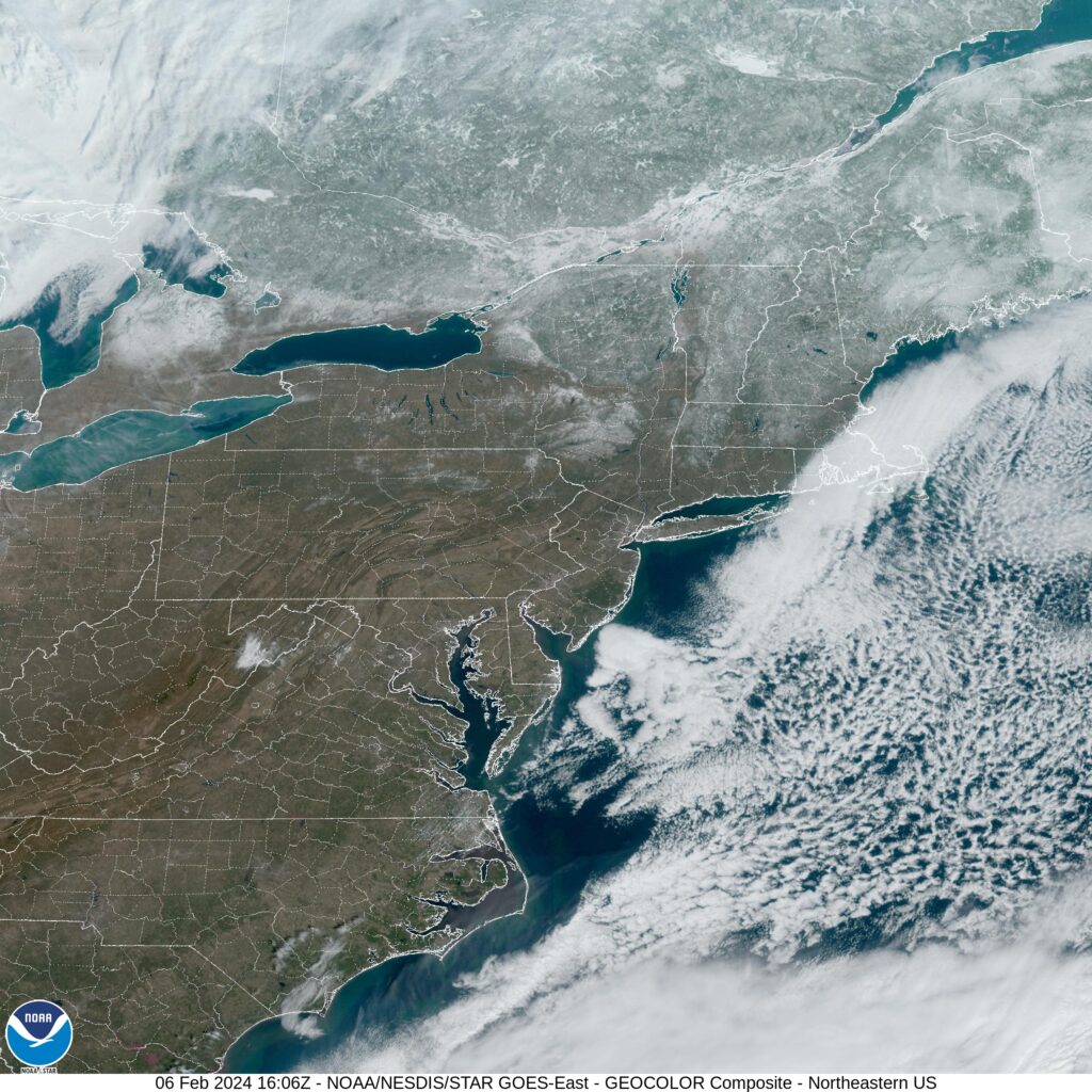
At 1055AM, ET, Springfield was reporting clear skies with a temperature of 31. There is a steady north wind thanks to a vast gyre off the coast of New England, and some scattered clouds north of Massachusetts, but despite these factors working against the town, a pleasant February day is anticipated.
Surface high pressure will continue to remain in place for the next few days, but a jet ridge will start nosing into the area by the end of the week, with a warm front nosing in on Thursday, really bringing about a warming trend.
Tomorrow – Mostly sunny, High 43, Low 26
Thursday – Partly cloudy, a bit warmer, High 47, low 28
TWC: Tomorrow – Generally sunny despite a few afternoon clouds. High 44, Low 25
Thursday – Plentiful sunshine. High 47, Low 26
AW: Tomorrow – Plenty of sun High 46, Low 24
Thursday – Sunny and mild High 48, Low 25
NWS: Tomorrow Sunny, High 43, Low 24
Thursday – Sunny, High 46, Low 25
WB: Tomorrow – Sunny, High 40, Low 28
Thursday – Sunny, High 45, Low 28
WN: Tomorrow – Mostly sunny, High 43, Low 24
Thursday – Mostly sunny, High 46, low 25
CLI: Tomorrow – Partly cloudy, High 46, Low 25
Thursday – Sunny, High 50, Low 25
Wow, Clime is going for the gusto, boldly putting Springfield at 50. We’ll see how that goes.