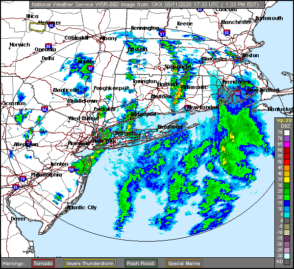
It’s a real spring evening out there. Heavy thunderstorms are popping up in a couple of different areas, from New England, where severe weather has been reported all day from western New York to Massachusetts and New Hampshire. The primary severe component has been gusty winds.
New England storms aren’t usually good for radar imagery, but particularly with this squall, as the Boston radar is down for maintenance. There just isn’t a good way to look at the squall.
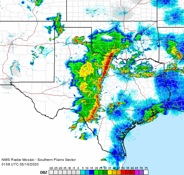
On the other hand, look at this iron curtain in west Texas.
That impressive ling of nearly solid red stretches from east of Wichita Falls to east of Del Rio, bringing strong winds, and a nice batch of cooler drier air behind it. Sharp differences in air mass often show up more impressively on radar, and that’s what we have here.
If this line can hold together as it moves eastward, strong winds loom for cities along I-35 like Dallas, Austin and San Antonio. Hail would only come in small bursts, and the tornado threat that had once been there is now becoming less likely, though there could be a spin up in the scud out ahead of the primary line.
This might be a noisy night for a lot of people in Texas, and the storm system is going to slow down, so east Texas will feel the bumps later in the weekend. By the time the storms wrap up, though, Texans should feel a little bit of refreshing air for a day or so.
Maybe it’s because we have spent so much time at home, but we got through a lot of forecasts in April. I prefer reviewing those months, because we really get a taste for how successful everyone was. This month, it was even a fairly close race, letting us know there were some good forecasters last month. In the end it was Accuweather who grabbed the top prize for the month. Let’s look at the individual wins, though.
Outlet
Month wins
Accuweather
2
National Weather Service
1.83
The Weather Channel
1.5
Weatherbug
1.33
Forecast.io
1
WeatherNation
0.33
Victoria-Weather
That brings us to the totals for the year.
Outlet
Month wins
year wins
The Weather Channel
1.5
6
Weatherbug
1.33
5.16
Victoria-Weather
4.75
WeatherNation
0.33
3.41
National Weather Service
1.83
3.08
Accuweather
2
2.25
Forecast.io
1
1.33
With a commanding lead that, it should be no surprise that The Weather Channel is indeed in the lead for forecaster of the year. This month, though, kudos belong to Accuweather. Way to go!
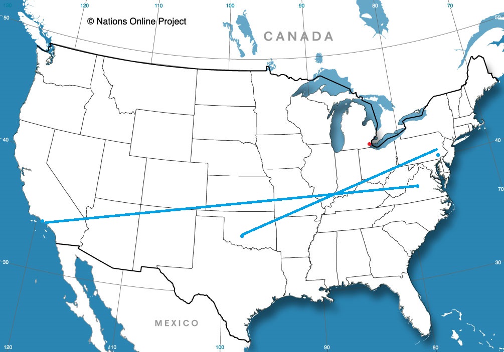
This is going to be a an East Coast road trip through a part of the country that probably isn’t keen on travelers right now. Let’s make sure that we mind our P’s and Q’s while trekking through the busiest parts of the country on our full day’s drive,
which will cover 477 miles. Our pace will be 62.2mph, which is probably a little faster than normal, because of everything going on.
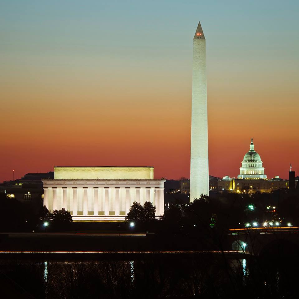
Washington DC
Brr! The last coldest shot of spring is moving into the mid-Atlantic tomorrow, and we will drive through those big cities, like Philadelphia, New York and Baltimore with the windows up. The sun will be out, so we won’t need the heat, and by the afternoon, it tends to get warm in the car, but it will be that difficult blend of too hot in the car because of the sun, and too cold to leave the windows down. But at least we will be able to avoid anything more serious than a stiff breeze, and will end up in Barnstable, which is nice.
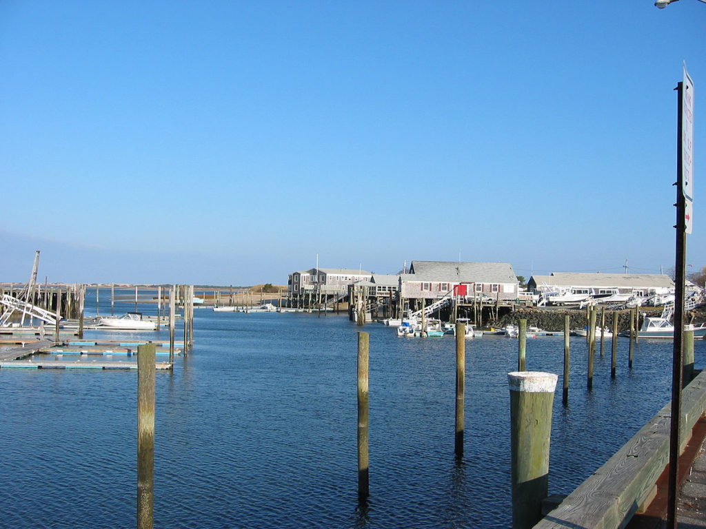
i hate to do this as we all have our plans and lives suspended, but our forecast schedule is taking us to a great vacation town, Barnstable, which is on Cape Cod.
At 156PM, ET, Barnstable was reporting a temperature of 56 degrees with clear skies. This is a little misleading, however, as an area of low pressure moving through New England is generating bands of rain showers through the region, with a looming band approaching Martha’s Vineyard, with rain reported as close as Newport, Rhode Island and Plymouth, Massachusetts. This is the occluded portion of the evolved area of low pressure, and short term changes won’t be substantial ater this leading round of rain moves through. After the low moves through, a pocket of cold air will invade and make for a chilly Tuesday. The circulation surrounding the low as it moves into Maritime Canada will bring some flurries to the Adirondacks, and breezes will be stiff on the Cape. Wednesday looks like a more pleasant day, with wind subsiding and warm air encroaching from the southwest. Tomorrow – Passing clouds with breeze, High 57, Low 42 Wednesday – Chilly in the morning, but sunny in the afternoon, High 57, Low 36
TWC: Tomorrow – Generally sunny despite a few afternoon clouds. High 58, Low 44 Wednesday – Except for a few afternoon clouds, mainly sunny. High 57, Low 49
AW: Tomorrow – Mostly sunny and breezy High 58, Low 44 Wednesday – Plenty of sun High 57, Low 40
NWS: Tomorrow – Mostly sunny, High 57, Low 43 Wednesday – Sunny, High 57, Low 38
WB: Tomorrow – Sunny, High 56, Low 44 Wednesday – Sunny, High 55, Low 38
WN: Tomorrow – Mostly sunny, High 56, Low 44 Wednesday – Mostly sunny, High 57, Low 38
FIO: Tomorrow – Clear throughout the day. High 56, Low 44 Wednesday – Clear throughout the day. High 56, Low 40
The tough part about temperature forecasting in Barnstable is that you need to closely monitor the wind direction and speed. Brisk off shore winds will keep it a bit warmer on Tuesday, and light on shore winds will keep it cooler on Wednesday. The radar comes from Long Island, as Boston’s is out today.
We looked at Evansville early last week, when bundle of low pressure moving through the Great Lakes promised to disrupt some outdoor plans. Indeed, it did, but fortunately for everyone working at home, the rain came only on Wednesday the 29th of April, so Tuesday was pretty nice. Ahead of the low, warm air surged into Indiana to make it even nicer. Forecast.io came through with the victory, so I’m sure they thought it was especially nice. Actuals: Tuesday April 28th, High 76, Low 57 Wednesday, April 29th, .2 inches of rain, High 67, Low 49
Models have been in the news quite a bit over the last several weeks, in particular as they relate to the COVID-19 Pandemic. There have been a great deal of concerns and questions as they relate to scientific modeling. I’m certainly not an epidemiologist, but meteorology is a field of science that relies heavily on modeling, so I thought I might share some insights.
Models, depending on the output desired, are essentially mathematical equations, in which variables are either solved for or assumed. The equations are given starting information, which is often altered, depending on observations, such as the temperature or barometric pressure in meteorology, or the case total or fatalities in a COVID model.
There is often discrepancy in the models versus what happens in real life because variables can be uncontrolled. In the case of the weather, the limited number of observations means there are gaps in information that are assumed, but not confirmed, which can lead to errors, especially over time.
The same can be said with COVID modeling, however the assumptions are based on how people will respond. The primary difference, at this point, between the various COVID models is assumptions based on how government ordered social distancing is instituted and remains in effect. One of the uncontrolled variables is how engaged in the population is in the social distancing, as the models only respond to the virus’s known rate of spread and mortality.
Models are only as good as the information that goes into them, but at the very least, they are effective at demonstrating trends, and giving an idea generally, if not always specifically, of the future. They can inform of responses of changes in variables. Weather models are updated regularly, and resubmitted with new data, with corresponding alterations to the forecast. COVID models are updated with new case numbers and new actions by the local populations and government.
Models exist to allow the public and the various powers that be to prepare and respond to pending conditions, whether they be thunderstorm or waves of illness. Unlike weather modeling, in which we are tasked with responding to the output, epidemic modeling allows us to alter the outcome with our actions, and are of particular value.
One of the thing that tempers the opinion of this nascent cooldown east of the Rockies, is that the past few weeks, especially towards the Plains and Mississippi Valley have been very pleasant. Take Des Moines, where some thunderstorms on the 22nd and 23rd, during our forecast period, had the courtesy of falling overnight, and highs rose to the upper and mid 70s, outpacing forecasts ever so slightly. The Weather Service had the top forecast, though many outlets were punished for failing to mention the threat of wet weather. Actuals: Wednesday April 22nd, Trace of rain, High 78, Low 51 Thursday April 23rd, Trace of rain, High 74, Low 52
The last couple of years have seen April’s with historic late season snow storms that called into question the true definition of spring. This year, it’s bee significantly warmer, and dare I say spring like for a lot of the country. This as been with it’s negatives, of course, as the spring severe season has been particularly robust in the Southeast, but I think a lot of people are pretty pleased with how the weather has turned out in April.
The CPC would like to end your celebrating.
A large portion of the country, centered around the Great Lakes, is going to start May much cooler than normal. It probably won’t mean snow, but it shouldn’t be ruled out everywhere. Conversely, temperatures in the southwest, which have already been well above normal, are expected to continue to be significantly warmer than normal. Nobody is happy.
On the plus side, at least out east, is that cooler temperatures are more tolerable in May than they are in April. Additionally, cooler temperatures should help mitigate the severe season in the southern Plains. The first week of May has historically been a dangerous week in Oklahoma, but that doesn’t seem to be the case this year.
For warm weather lovers, the long range forecast isn’t great, but it could all certainly be worse.