I am not one for cold weather. I do like forecasting snow, but I don’t care for living in it. Midmonth in Williamsport would have been ideal for me, as it wasn’t unbearably hot, and still trending warmer. The trend was handled pretty well by everyone, but Clime handled it even better than the rest, securing the daily victory. Actuals: September 15th, High 72, Low 47 September 16th, High 80, Low 57
I-40 is an important east to west corridor here in the United States, and we get reminded of that time and again. For this trek, we’ll take 3 1/2 days to head for Monterey Bay. Since we’ll be on the freeway most of the journey, we will make the drive at a pace of 69.4mph. That means our 2012 mile journey will be broken into chunks of about 555 miles a day. Respectable!
DAY ONE (Friday)
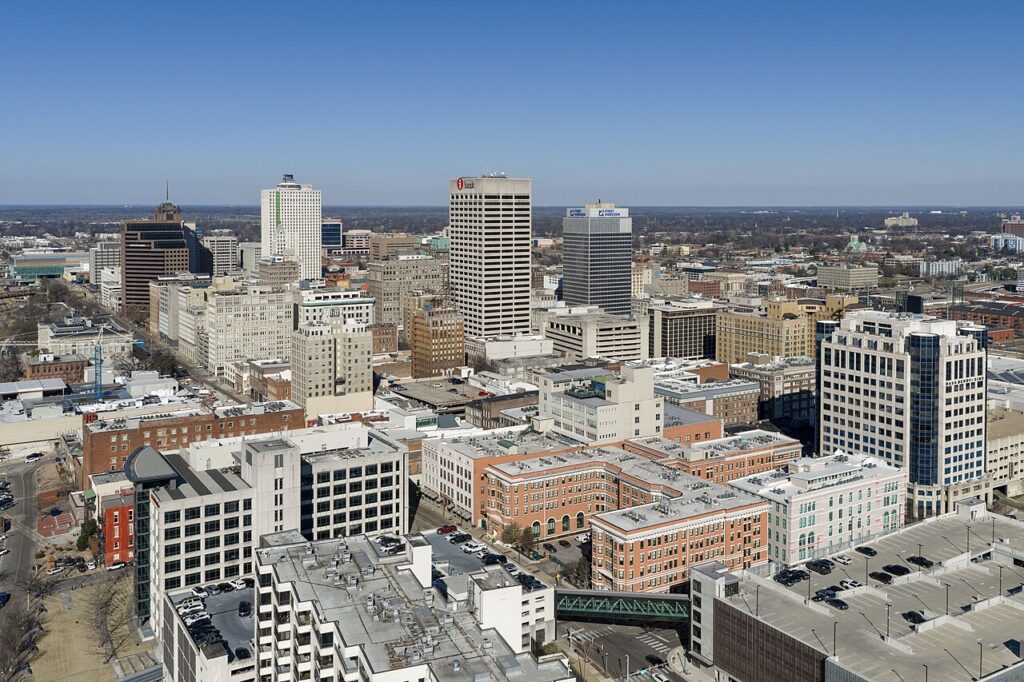
Memphis, Tennessee – via Wikipedia
High pressure remains in place over the Tennessee Value, and is going to stay there through tomorrow. A lee trough is going to start churning some navigational trouble for drivers on I-40 by late in the day tomorrow. At the southern base of the trough, expect some showers and maybe a storm to fire along the dry line from western Kansas into the Panhandle. This means that we could see a spot of rain anywhere from Oklahoma City west to Clinton, Oklahoma, where our day will conclude.
DAY TWO (Saturday) Showers will linger overnight in Clinton, and there will be some residual clouds, mist and fog west to the Texas Panhandle, and even as far west as Shamrock, but from then on, we should be easy breezy. Amarillo to Albuquerque will be in the clear, and we will make it west to Prewitt, New Mexico, and cease driving for the day.
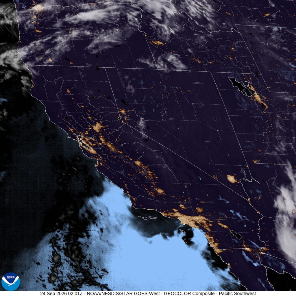
DAY THREE (Sunday) This is going to be a weird thing to call out driving through Arizona, but we need to mind the tropics for this stage of the journey. Hurricane Polo, off the Mexican coast, is prognosticated to cycle back towards the Baja Peninsula. As it does that, expect the monsoonal flow to be enriched on Sunday, with an increased chance for showers around Williams, Arizona, south of the Grand Canyon, though the real threat will likely pick up after we are in California. The day will end in the desert east of Barstow, in Newberry Springs.
DAY FOUR Polo is going to be a problem, but not for us. We can continue on westward towards the coast, unbothered by things like “weather”. Monterey Bay will be as fabulous as it ever is upon our long awaited arrival.
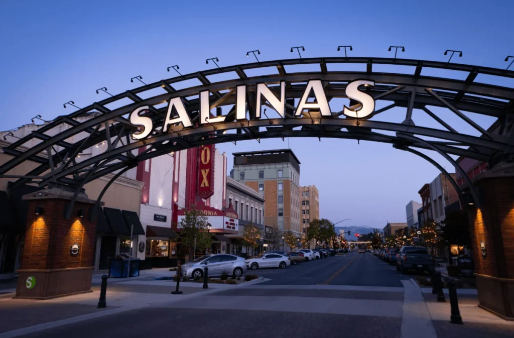
Hey there, Salinas, what’s it like in your fine city?
At 653PM, PT, Salinas was reporting a temperature of 57 degrees and clear skies. The temperature matched the dew point, and fog will be creeping in, and the marine layer was creeping up the central Coast. While typical thermal troughing in the Central Valley is expected to continue, along with a surface ridge on the coast, there is a system moving into the Pacific Northwest, arriving on the Oregon Coast tomorrow evening. This will amplify southerly flow around Salinas, which will provide a more reliable source for morning clouds on Friday morning as well. Tomorrow – Morning fog and clouds, High 77, Low 55 Friday – Scattered early clouds, High 75, Low 58
TWC: Tomorrow – Intervals of clouds and sunshine. High 77, Low 57 Friday – Partly cloudy skies High 73, Low 53
AW: Tomorrow – Mostly sunny and nice High 79, Low 56 Friday – Increasing amounts of sunshine High 73, Low 56
NWS: Tomorrow – Mostly sunny, High 77, Low 59 Friday – Partly sunny, then gradually becoming sunny, High 72, Low 57
WB: Tomorrow – Partly cloudy in the morning then becoming sunny. High 76, Low 59 Friday – Mostly cloudy in the morning then becoming sunny. High 73, Low 57
WN: Tomorrow – Mostly sunny, High 77, Low 59 Friday – Mostly sunny, High 72, Low 57
CLI: Tomorrow – Sunny, High 74, Low 55 Friday – Sunny, High 72, Low 56
It’s 1,000 miles away from here, but Salinas, you look so pretty.
Our weekend forecast for Morristown earlier in the month, there was the threat for some isolated shower activity. Victoria-Weather was alone in keeping it out of the forecast on Sunday, but everyone called for something on Saturday. Morristown instead stayed dry, which also meant that it stayed warm. High temperatures were above forecast totals on each day of the weekend, which meant the top forecast went to the warmest forecast. That was the Weather Channel. Actuals: Saturday, September 12th, High 84, Low 70 Sunday, September 13th, High 91, Low 66
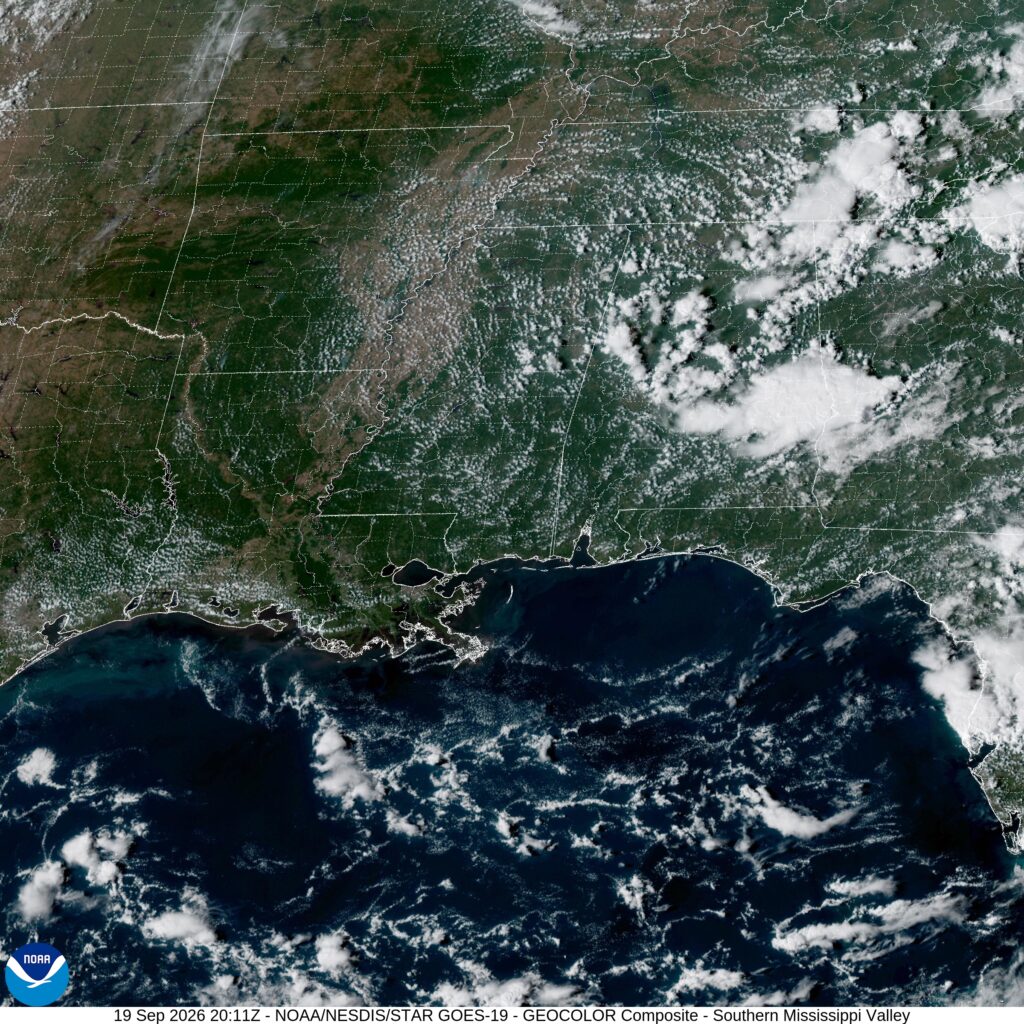
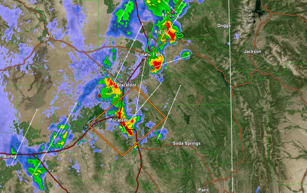
10:08PM. Check out the SPC outlook on the right panel. That is a VERY late summer look, with scattered showers and storms over the southeast and the Rockies. These are the typical spots for air mass thunderstorms, and the weather right now is…typical.
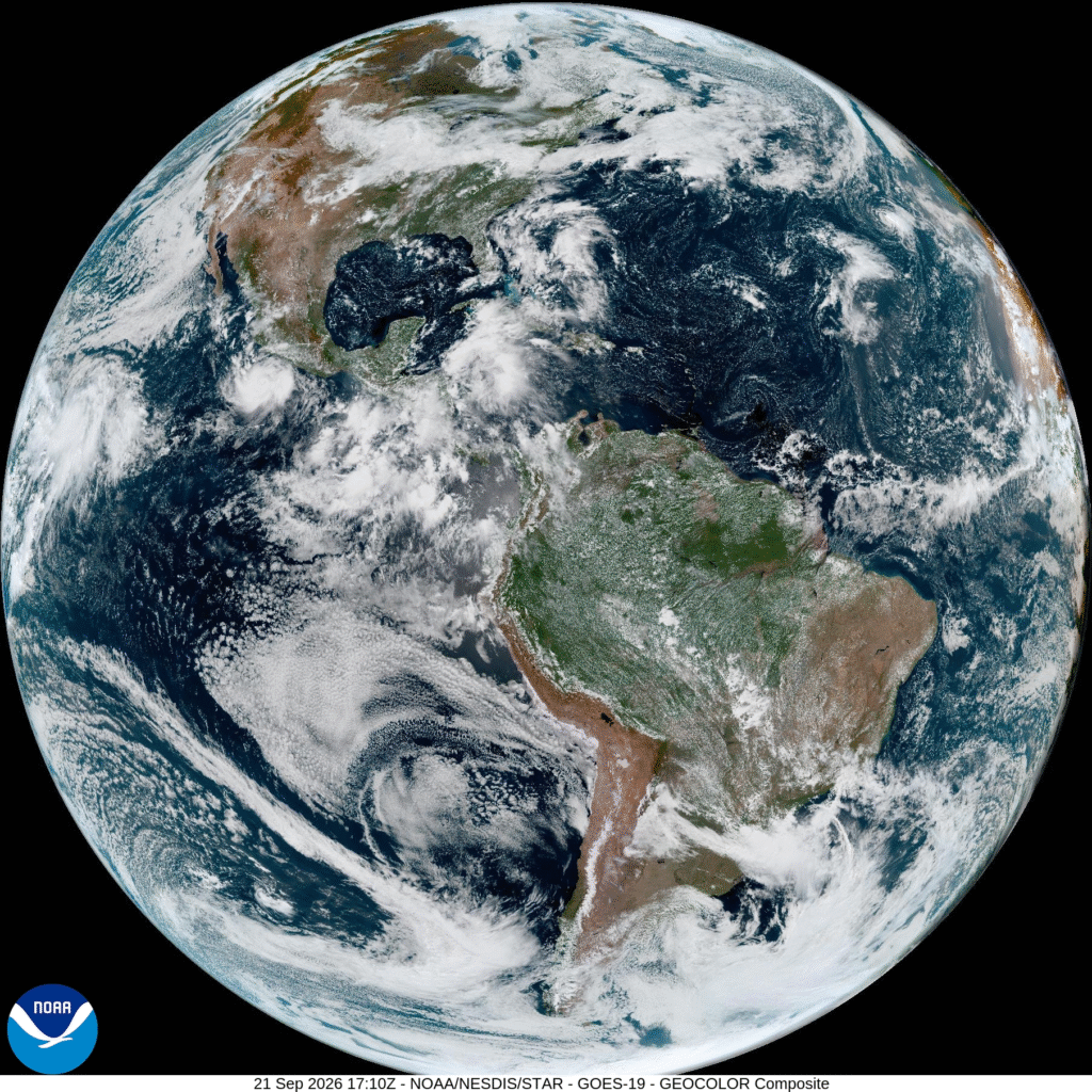
The Tropical map remains quiet. This is historic, we’ve never gone this deep into a tropical season without a hurricane, and Faye, a tropical storm bobbing in the central Atlantic, is on her way to oblivion. Will we get anything this year? Hopefully not!
11:43AM: IF you are a football fan, you probably enjoy a good snowy battle. How do you feel about rainy and drizzle? The Vikings play the Bears at noon.
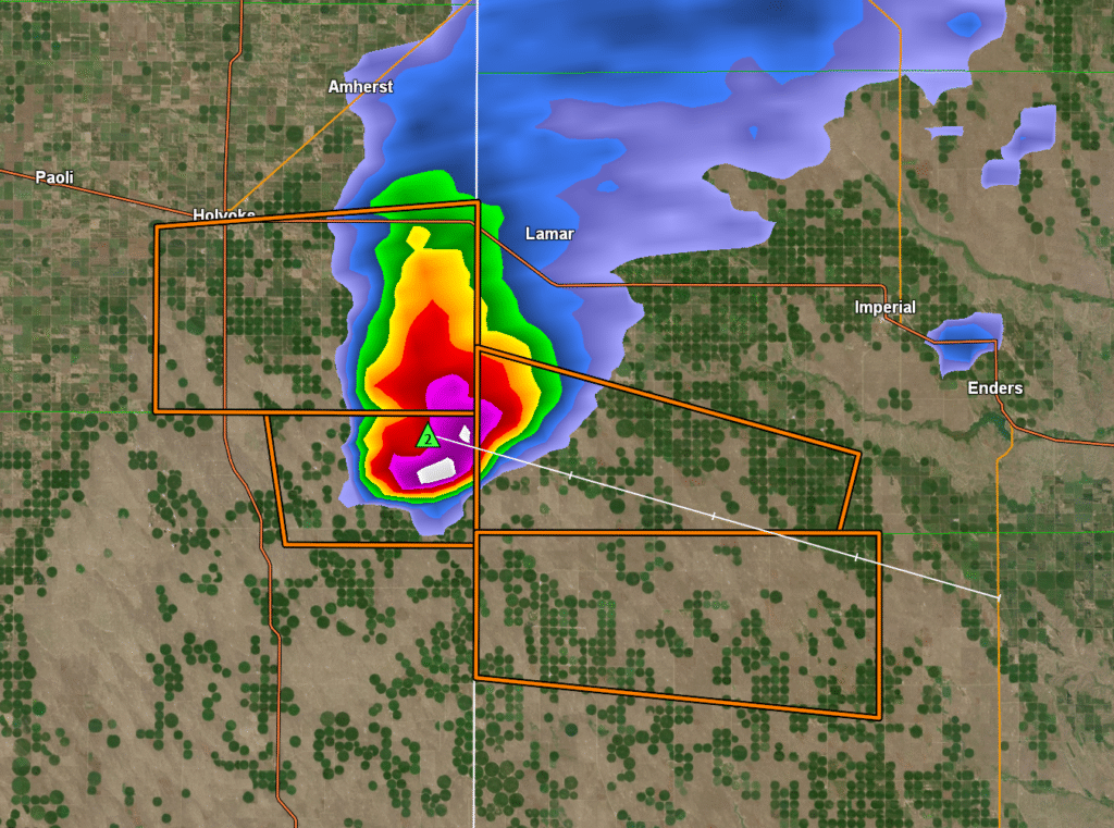
3:32PM: There is a big ol’ thunderstorm cell along the Colorado/Kansas border. It will be dropping some big hail, some outflow winds and a complicated array of severe thunderstorm warnings.
Rarely is there a day like this, where the weather in my location is going to be vastly different than the town I am forecasting for. That happens most typically when I am looking at the West Coast, but I Memphis isn’t so far from Minnesota that it should feel like an entirely different season!
At 254PM, CT, Memphis was reporting clear skies and a temperature of 99 degrees. An area of low pressure over Canada dangled a slow moving boundary through the Great Lakes to Iowa. Typically, this position, especially with the heat in Memphis, would lead to scattered showers in the region, however a weak upper level gyre over the Florida Peninsula was redirecting flow back eastward, and away from Memphis. At the gyre drifts into the Gulfs Stream, it will strengthen and drift to join with the upper level trough. This won’t be directly impactful for Memphis, but it will allow the rich tropical air to move north and flood towards that boundary. There is a better chance for rain and storms to begin the work week, after a grueling hot weekend. Tomorrow – Hot, High 100, Low 77 Monday – Sunny, some clouds and a late storm, High 98, Low 77
TWC: Tomorrow – A few clouds early, otherwise mostly sunny. Hot High 100, Low 75 Monday – Partly cloudy. A stray shower or thunderstorm is possible. High 97, Low 75
AW: Tomorrow – Partly sunny and very hot with the temperature approaching the record high of 100 last reached in 2022; caution advised if outside for extended periods of time High 99, Low 74 Monday – Partly sunny and toasty conditions; an afternoon thunderstorm; caution advised if doing strenuous activities outside High 95, Low 74
NWS: Tomorrow – Mostly sunny and hot, High 100, Low 76 Monday – Mostly sunny and hot, High 98, Low 76
WB: Tomorrow – Mostly sunny in the afternoon High 94, Low 78 Monday – Mostly sunny. High 96, Low 79
WN: Tomorrow – Partly Cloudy, High 100, Low 76 Monday – Partly cloudy, High 98, Low 76
CLI: Tomorrow – Sunny, High 99, Low 77 Monday – Partly cloudy High 97, Low 75
It’s about 30 degrees warmer in Memphis than it is not far to the north. There is a circulation centered around Tampa, but again another one over Mississippi. Just churning away.
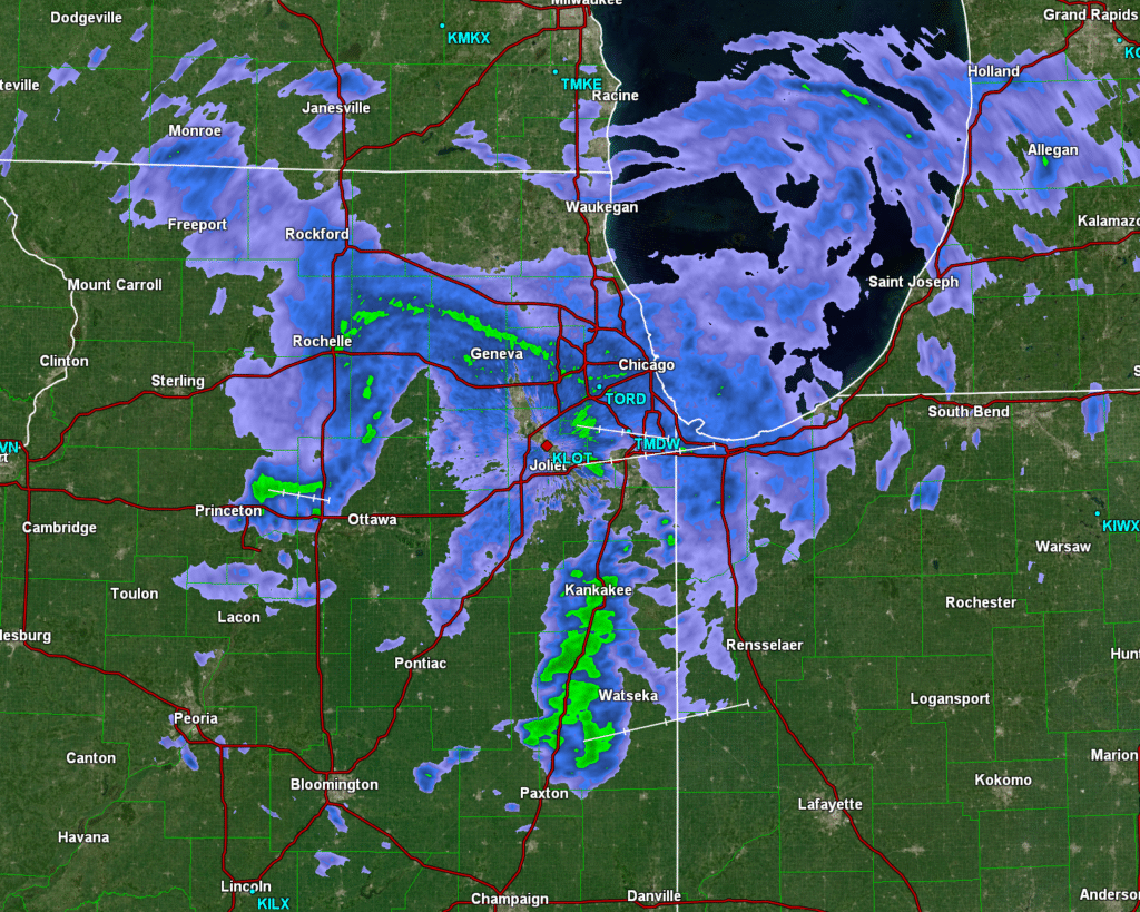
1:29PM: There are two stories this weekend on the weather front, and they are both part of the same story: There is a whole lot of rain in the middle of the country, and it is very warm in the Southeast. That rain is along a slow moving boundary, behind which lies early autumn.