It’s always a fun forecast when you have to establish the time zone before you can even begin analyzing the weather.
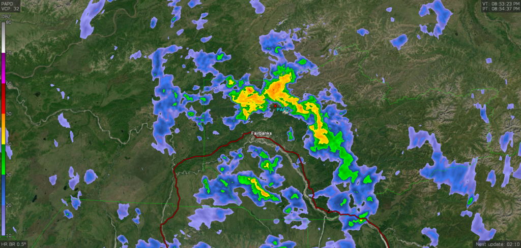
At 553PM, Alaska Time, Fairbanks was reporting a temperature of 53 degrees with mostly cloudy skies. While Fairbanks and the rest of the Tanana Valley were appreciating dry weather, the mountains surrounding were being hit with rain which was heavy particularly to the northeast of the city. Low pressure had settled in north of the Alaska Range, but a lot of the effect was the result of local topography, and the system itself was most well organized over the Yukon and British Columbia.
The feature is prognosticated to shift out of the region by tomorrow morning, allowing the Tanana Valley to dry out. Partly to mostly cloudy skies will remain on Monday. A jet ridge will press north towards southern Alaska by Tuesday, with moist air moving into the Alaska Range, where rain will be possible. For this wave, Fairbanks will be in the clear, with moisture unlikely to descent to the city limits.
Tomorrow – Mostly cloudy, High 60, Low 40
Tuesday – Partly cloudy, High 60, Low 38
TWC: Tomorrow – Partly cloudy in the morning. Increasing clouds with periods of showers later in the day. High 60, Low 41
Tuesday – Mostly cloudy, High 60, Low 39
AW: Tomorrow – Mostly cloudy with occasional rain in the afternoon High 62, Low 43
Tuesday – Turning cloudy (late rain) High 63, Low 39
NWS: Tomorrow – Isolated showers after 10am. Partly sunny High 61, Low 41
Tuesday – Partly sunny High 61, Low 40
WB: Tomorrow – Partly sunny. Isolated thunderstorms in the afternoon, High 55, Low 39
Tuesday – Partly sunny, High 56, Low 39
WN: Tomorrow – Partly cloudy, High 61, Low 41
Tuesday – Partly cloudy, High 62, Low 39
FIO: Tomorrow – Mostly cloudy throughout the day. High 60, Low 40
Tuesday – Mostly cloudy throughout the day. High 58, Low 39
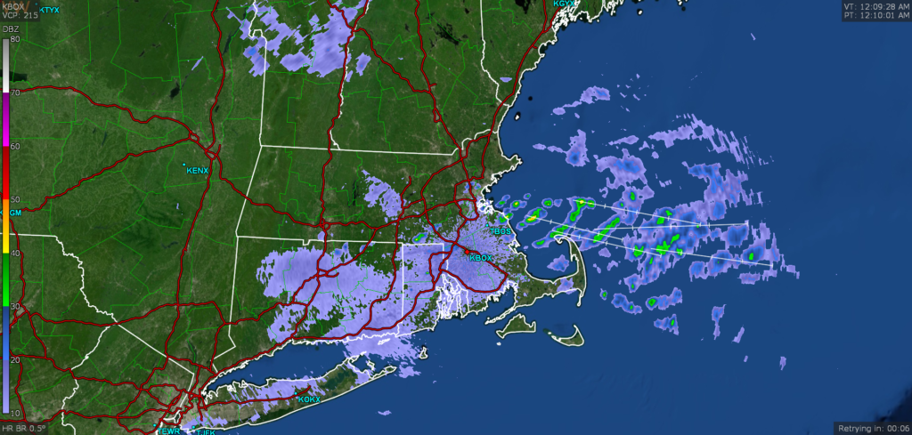
Fairbanks is a tough forecast. It’s not really close to anything else we forecast for, the terrain is absolutely wild, and the models are less available than it is in the CONUS. Here is the radar, with the rain showing up quite well surrounding town.