
Alabama has certainly seen it’s share of terrible weather this spring. I suspect our forecast through the middle of this week will be a bit less intimidating.
At 1153AM, CT, Anniston was reporting clear skies and a temperature of 67 degrees. While temperatures were warm, dew points sat merely in the low to mid 40s, so it wasn’t exactly summerlike northeast of Birmingham. A strong jet lay south of the Gulf Coast, keeping any frontal activity well offshore, and providing for a pleasant, subsident air mass, which is also working to stave off other inclement weather from the north.
A trough in the northern High Plains will drive southeastward, carrying with it a less active cold front than would be expected, given it’s strength. The front will pass without incident on Wednesday in the early evening, save for a switch in the wind direction.
Tomorrow – Sunny, High 77, Low 46
Wednesday – Increasing clouds, High 64, Low 43
TWC: Tomorrow – Sun and a few passing clouds. High 75, Low 48
Wednesday – Partly cloudy skies. High 60, Low 47
AW: Tomorrow – Partly sunny High 76, Low 47
Wednesday – Sunny to partly cloudy and cooler High 60, Low 45
NWS: Tomorrow – Mostly cloudy, then gradually becoming sunny, High 76, Low 49
Wednesday – Sunny High 63, Low 44
WB: Tomorrow – Partly cloudy, High 75, Low 46
Wednesday – Cooler, Partly cloudy in the morning then clearing. High 60, Low 45
WN: Tomorrow – Partly cloudy, High 79, Low 47
Wednesday – Mostly sunny, High 63, Low 46
FIO: Tomorrow – Mostly cloudy throughout the day. High 76, Low 50
Wednesday – Partly cloudy throughout the day. High 61, Low 44
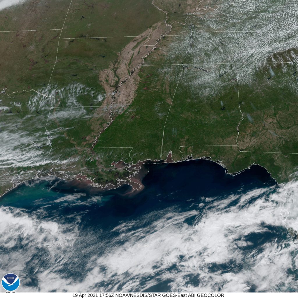
That change in wind will, I guess, bring cooler temperatures. Don’t be surprised if Wednesday highs are higher than forecast here. It won’t be colder, though. Check out this beautifully clear satellite image of Alabama.
Comment (1)