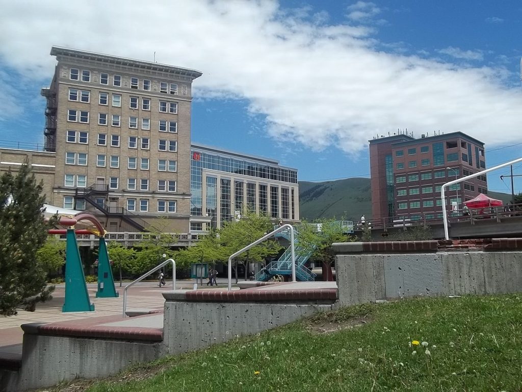
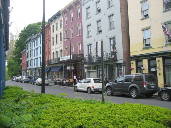
This May forecast takes us from western Montana to the Hudson Valley of New York. Usually, I try to think of things that places have in common, and frankly, all I’ve got is that the second letter of both towns is the same. They aren’t close on the map, either, requiring a 4 day drive, with the 4th day especially long, to cover the 2416 driving miles between the towns. We’ll move at a pace of 69mph or 552 miles a day, so we will get the most out of the drive too. It’s going to take this long to get from Missoula to Kingston at a fast pace. World’s apart.
DAY ONE (Monday)

Montana is a gigantic state, and we only ever seem to traverse it east to west or west to east. Our drive on Monday, of course, will be west to east, and we still won’t make it out of the Big Sky Country. High pressure is building in the High Plains, with a little bit of moisture on the back end of the ridge butting up against the foothills of the Rockies. We should leave early enough that we will avoid any rain, but the first whispers of clouds will be popping up for the day in and around Missoula, but the rest of our drive in Montana will be under blue skies. We’ll nearly make it to Glendive, Montana, before we turn in for the night.
DAY TWO (Tuesday)
Low pressure is going to get organizing in the Lower Mississippi Valley and moving north to the Great Lakes. This increased organization in low pressure will encourage more stable cold air to move in behind it. Eastern Montana, North Dakota and northern Minnesota will be clear and dry. We will reach Avon, Minnesota, just west of St. Cloud before the day is through.
DAY THREE (Wednesday)
It will be a narrow window between the large system moving into the Great Lakes, and another developing feature behind our route, moving out of the Dakotas into Minnesota and Iowa through the day. We’ll keep just ahead of system, but behind the larger one ahead of us, and voila! A wonderful day. We’ll get through the Twin Cities and Chicago, all the way to La Porte, Indiana. I’ve made a similar drive before, and it is a long one indeed.
DAY FOUR (Thursday)
A slow moving band of light precipitation left over from our trailing weather feature will start to be wrapped into a low pressure center developing in the southeastern US. This will mean less organization and slower progression. There will continue to be a threat of rain just off of our rear horizon, but it will mostly be clear ahead of us. When we hit the Appalachians, the rain will stall, and we should be in clearer and clearer air the further east we head. Downstate New York should be in good shape by the time we arrive.

