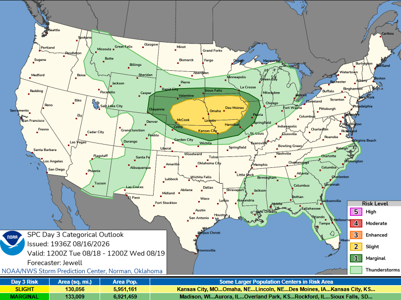
1:06PM: The SPC is definitely promising an outlook that is very late summer. There are slight risk blobs coving vast tracts of the northern Rockies and Northern High Plains. There is also a marginal risk across New York. I can confidently say that I expect more severe reports from New York.
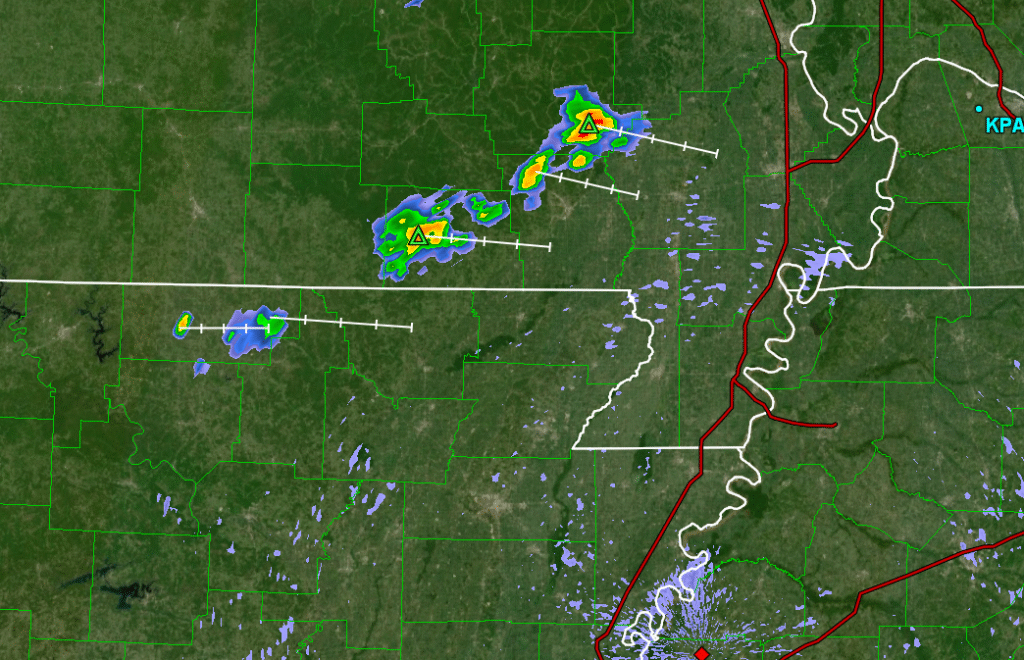
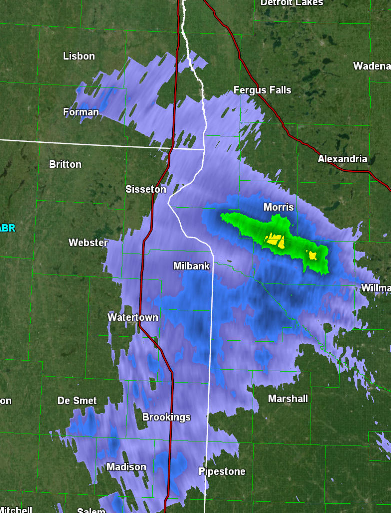
10:03PM All right, i was wrong! Storms in New York never materialized, and as always, the storms in the Plains were big hail producers. Probably for the best that there weren’t too many reports in New York, as that would have affected far more people.
10:36PM This incorrect prediction is staying with me tonight. I just want to remind everyone (and myself) that Victoria-Weather has been the best forecaster through the summer so far.
I’m overdue on these verifications, so here are the top outfits from June and July. You may get the first one right, if you were to guess, since you are here, at Victoria-Weather.com. It was indeed us. In July, an unlikely champion emerged. WeatherNation was the top forecaster for the second month of summer. Congrats!
A couple of stops in the next several days in New York, with our first down wind of the Great Lakes. I don’t anticipate Lake effect snow this time around.
At 654PM, ET, Syracuse was reporting mostly cloudy skies and a temperature of 74 degrees. Dew points are also pleasantly situated in the 50s as high pressure has built into the mid-Atlantic. Eyes will be toward the Great Lakes, however, as a cold front moving through Michigan and Wisconsin, bringing showers and storms that are headed for Chicago. The cold front is tied to an area of low pressure over Hudson Bay, and affiliated with a deep and seasonably strong trough in the Great Lakes The boundary will drift eastward, losing some punch as it moves into dry, stable air over the mid-Atlantic. There will still be a few showers in the area tomorrow afternoon, though not terribly strong. The boundary will shift out of the region for Thursday, with sunnier and even cooler conditions to round out the week. Tomorrow – Increasing clouds, a splash of afternoon rain, high 80, Low 61 Thursday – Mostly sunny, High 75, Low 58
TWC: Tomorrow – Partly cloudy early. Scattered thunderstorms developing in the afternoon. High 79, Low 61 Thursday – Partly to mostly cloudy High 78, Low 60
AW: Tomorrow – Variable cloudiness with a thunderstorm; gusty winds can accompany any downpour, High 79, Low 59 Thursday – Partly sunny and nice High 78, Low 60
NWS: Tomorrow – A chance of showers and thunderstorms before 3pm, then showers likely and possibly a thunderstorm between 3pm and 5pm, then a chance of showers and thunderstorms after 5pm. Partly sunny, High 81, low 61 Thursday – Mostly sunny, High 78, Low 59
WB: Tomorrow – Partly sunny with a slight chance of showers in the morning, then mostly cloudy with showers likely with a chance of thunderstorms in the afternoon. High 80, Low 64 Thursday – Partly sunny. High 78, Low 62
WN: Tomorrow – Partly cloudy with light showers and a chance of storms, High 81, Low 61 Thursday – Partly cloudy, High 78, Low 59
CLI: Tomorrow – Thunderstorm, High 79, Low 61 Thursday – Sunny, High 79, Low 58
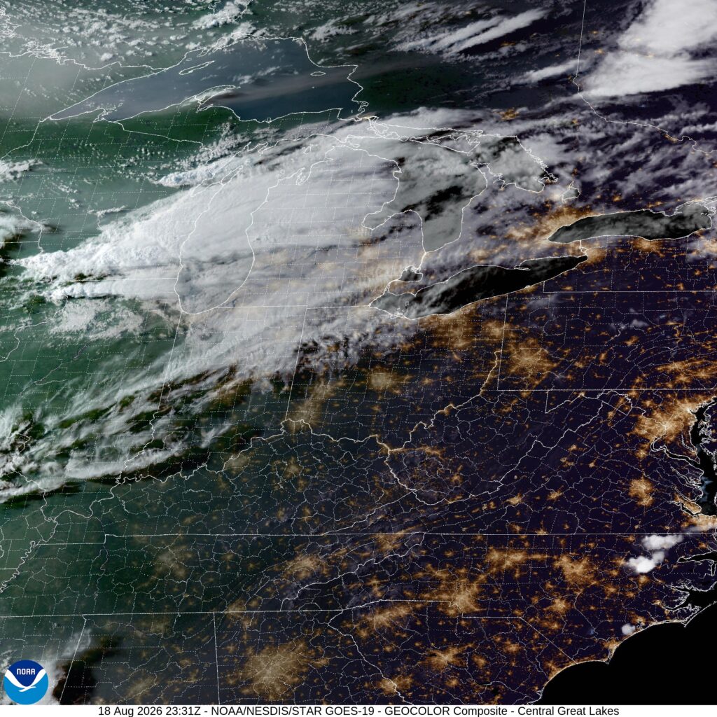
Something will indeed be coming out of the Lakes, but it won’t be snow. Not yet. Satellite shows those clouds coming Syracuse’s way.
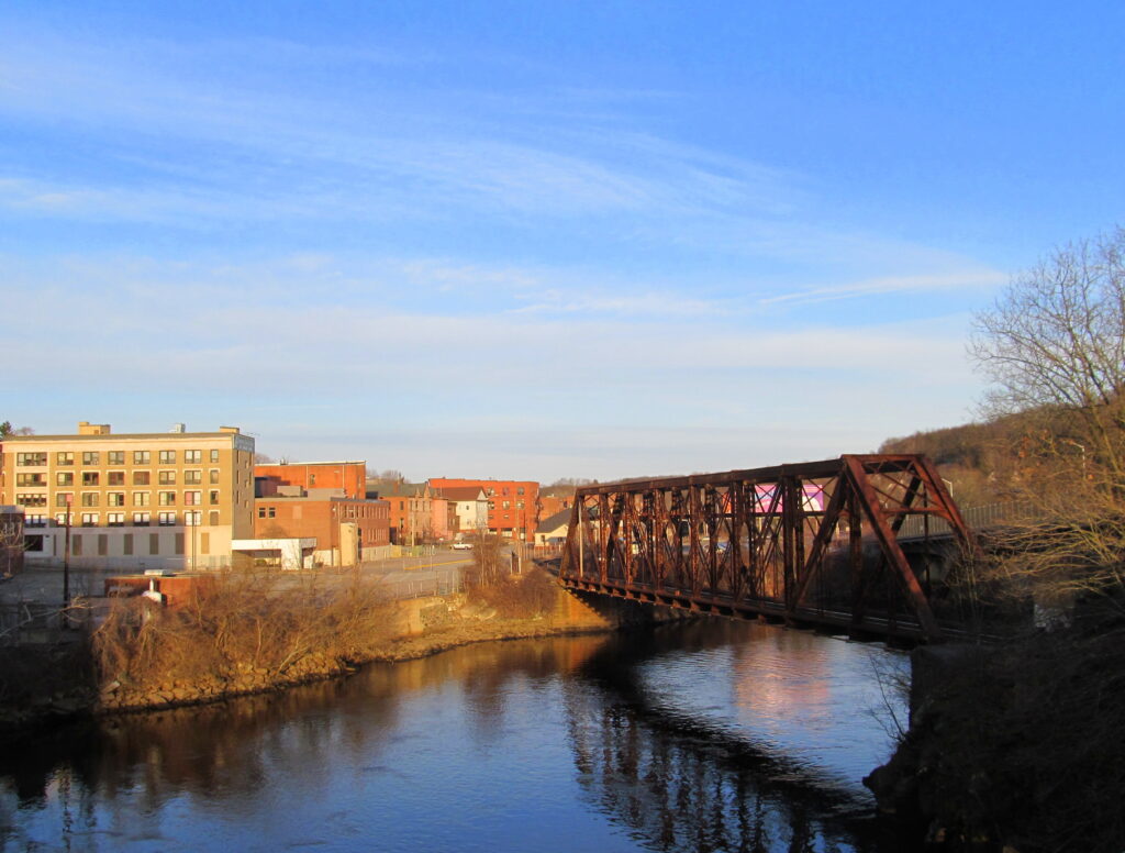
Norwich is several miles inland, however the official NWS reporting station for the site of our forecast at the beginning of the month is at the Naval base at Groton, which is definitely on the coast. Through some patterns, this doesn’t have a substantial impact. On August 5th and 6th, it was so dramatic it made me take into consideration the typically less reliable observation posts that don’t offer the official NWS read outs. I’m not sure they are fully correct, but I am sure they are closer to a fair representation for Norwich than Groton’s readings, which were a good 10-15 degrees cooler than all of the forecasts. So with that preamble, it stayed sunny, stayed dry and got pretty toasty in Norwich, and The Weather Channel was closest to the readings that I elected to reference. Actuals (?): August 5th – High 89, Low 57 August 6th – High 92, Low 75
8:07PM: Hey! I’ve been on vacation and am now returned to hear about flooding in Indiana and a hurricane in Hawai’i. In the near future, Tuesday looks like the most interesting day on the immediate horizon:
10:20PM On the other side of the picture, this gentle rain in Minnesota is helping keep temperatures cool, and if you are the type that enjoys white noise as you sleep, this should be just about right.
One of the reasons I like to write the road trip forecasts is because I enjoy taking random road trips. I go to random college or professional sporting events, get a feel for a town or school or team, and see what I can see along the way. It’s a lovely way to see America. With that in mind, I’ve been to Jonesboro, and despite the weather, which was dreary, I enjoyed my time.
At 1053PM, CT, Jonesboro was reporting a temperature of 83 degrees with clear skies. The jet flow lies well to the north, and is fairly laminar. Both of these factors are leading to the starry sky tonight across the Diamond State. The zonal, laminar flow across much of the country is going to reinforce the development of a lee trough. Surface level circulation will be southerly over Arkansas, with a warm front setting up in Missouri. This will prevent showers and storms from drifting southward, and Jonesboro, in southerly flow, will wilt in ongoing heat and humidity. Tomorrow – Sunny, High 100, Low 79 Thursday – Sunny, High 100, Low 78
TWC: Tomorrow – Mostly sunny, High 98, Low 78 Thursday – Partly cloudy, High 99, Low 78
AW: Tomorrow – Partly sunny and hot; danger of dehydration and heatstroke if outside for extended periods of time High 99, Low 77 Thursday – Breezy and hot with clouds giving way to some sun; danger of dehydration and heatstroke if outside for extended periods of time High 99, Low 78
NWS: Tomorrow – Sunny and hot, High 99, Low 78 Thursday – Sunny and hot, High 100, Low 79
WB: Tomorrow – Sunny. High 99, Low 81 Thursday – Sunny. High 98, Low 83
WN: Tomorrow – Mostly sunny, High 99, Low 78 Thursday – Mostly sunny, High 99, Low 79
I am willing to guess that the temperatures we saw in Fresno are going to end up being the warmest we see all year. On the 2nd and 3rd of the month, temperatures climbed to 106, which, as you may know, is quite warm. It was the rare forecast in which the consensus was actually the best forecast, as the various outlets darted around the verified numbers. Otherwise, it was a three way tie between the National Weather Service, WeatherNation and Clime. Actuals: August 2nd, High 106, Low 70 August 3rd, High 106, Low 72
We’re not staying in Connecticut long, as we have a forecast back to the west. This trip to Colorado will be shorter than our most recent trip, covering 1934 miles, over the course of 3/12 days. That works out to an average speed of 66.7mph, and a daily mileage of 533.5 miles.
DAY ONE (Saturday)
Norwich, Connecticut
There is this band of orphaned moisture riding the back of a broad ridge of high pressure in the Atlantic, and it is leading to chances for showers up and down the coast to about the Appalachians. On the other side of Appalachia, a cold front is meekly trying to move through, further drawing moist air further to the north. This will mean a mostly cloudy day, driving through New York, with some coastal showers in Connecticut at the outset, and then, as that front approaches Appalachia, we could see a few showers for the concluding bit of our driver, between Buffalo and Erie, where we stop for the night.
DAY TWO (Sunday) The cold front will be beyond us by the time we depart Erie on Sunday morning, giving us a fairly unperturbed drive through Ohio and Indiana. The next little vorticity maximum will be rotating through the western Great Lakes by the end of our day on Sunday, which may lead to a few showers and an isolated embedded thunderstorm over northern Illinois. I would call it west of Joliet, which would get us through Chicago, but showers and storms would be possible all the way to Langley, Illinois, which is about 30 miles west of La Salle, and our destination for Sunday night.
DAY THREE (Monday) This time of year, especially after a bit of rain overnight, I wouldn’t be surprised by “corn sweat” in the morning. That would be fog that arises thanks to the latent moisture provided by crops, mostly corn, that are approaching their harvest time. High pressure will be in place, and we should see the sun through western Iowa and into Nebraska. It will be getting warm as we arrive in Kearney for the night, as low pressure in the high Plains is developing a warm front. This may also serve as a guide for some overnight convection, but that should hold off until after we have arrived .
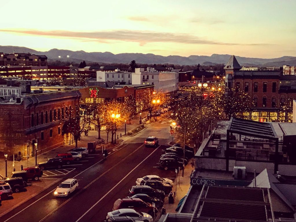
DAY FOUR (Tuesday) Surface high pressure will be all the rage again as we get going on Tuesday morning. The unbroken horizon of Nebraska will lay ahead of us, and it will be a race to see the mountains. We’ll arrive in Fort Collins without much concern, though by afternoon showers and storms will be popping up in along the dry line of eastern Colorado.