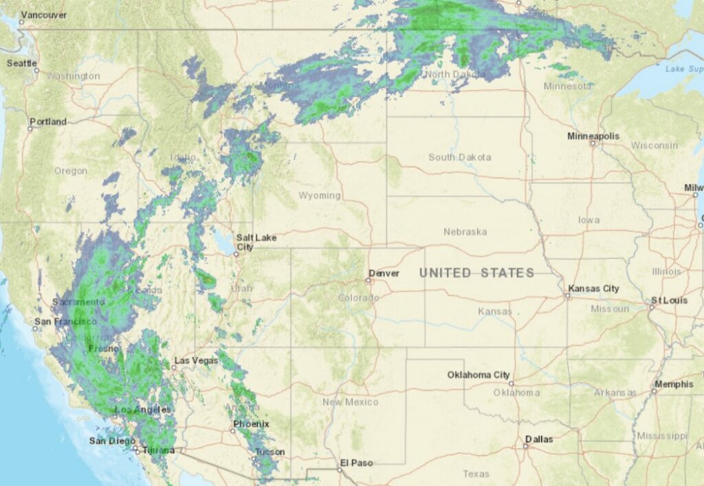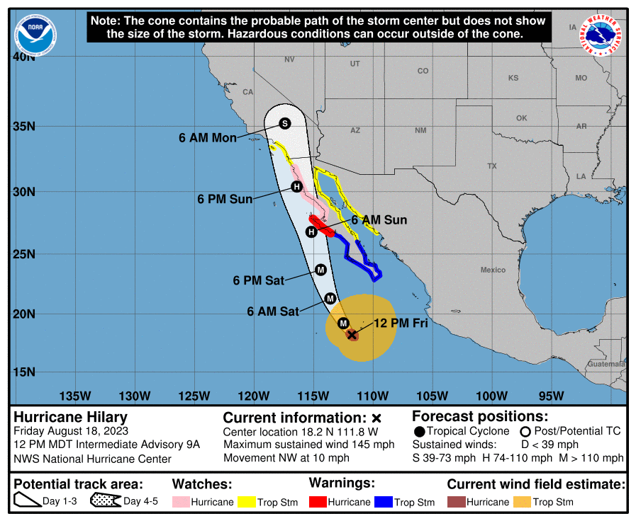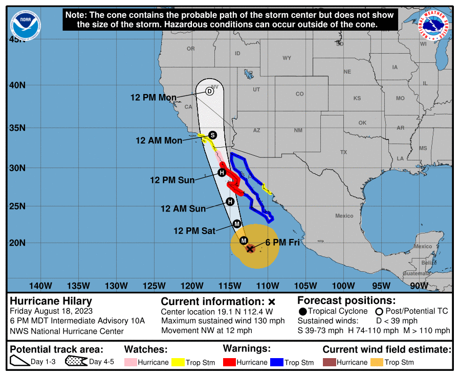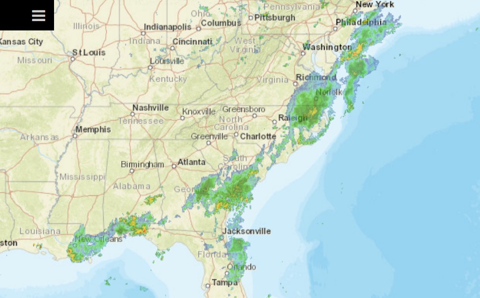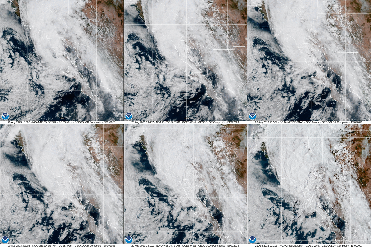
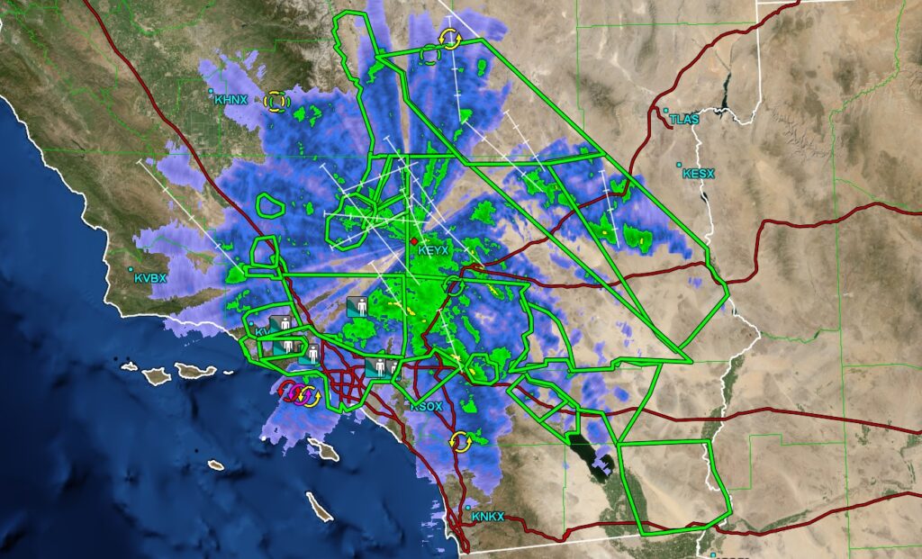
Hilary made landfall earlier today and is now spinning over southern California. There is a lot that makes this different than a tropical storm you would find in the Atlantic, landfalling on that side of the ocean. First is the fact that there is cold water off the Pacific Coast, and the storm eroded quickly before she hit the Baja. Second, there is a lot more terrain in this part of the world than there is in, say, Florida. This means poorer radar availability through the mountains but a more acute threat for flash flooding. Look at all those flood reports and green boxed flash flood warnings if you want proof.
We don’t have the threat for tornadoes like we would to the east, though, and the winds are lower, and there is no storm surge to note. Earthquakes, though…
1200AM update:
Hilary is pushing moisture all the way up to Sacramento, and then it is catching the upper level flow, and there is a connection that wraps to northern Minnesota.