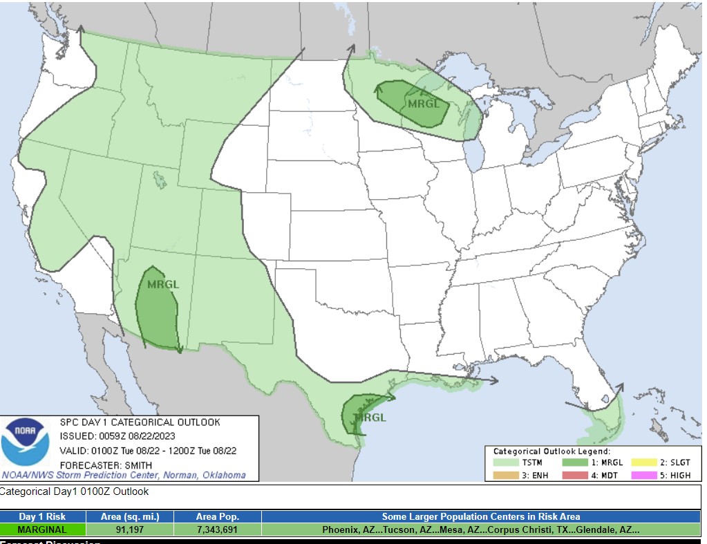
The SPC is great, and I don’t know how easily performed this would be, but I would like to be able to see the population centers by severe region somehow on this map. How do you know that Duluth or Rhinelander are included in the northern marginal risk, because it is hogged by Phoenix suburbs, Tucson and Gulf Coast towns?

The quibble is minor, but I’ve learned that the grasp of geography is not what it should be.
