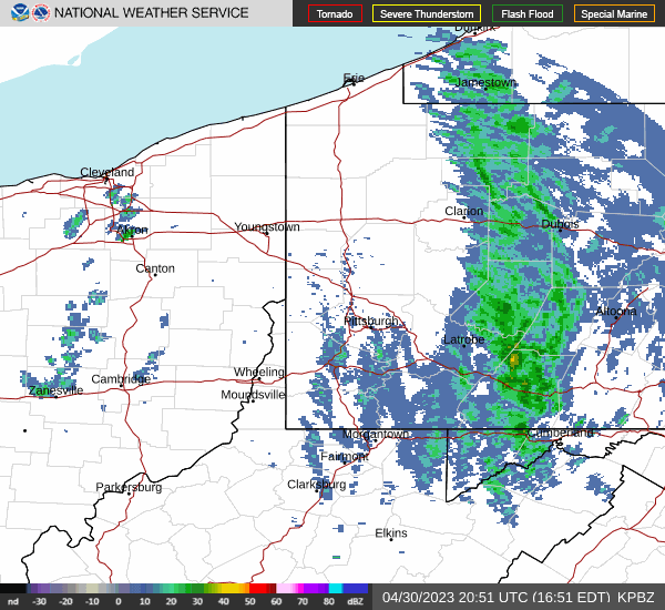
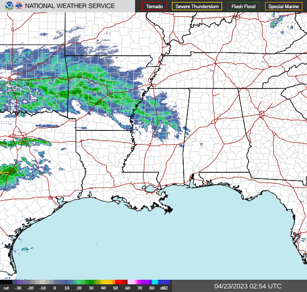
So many years in a row, we’ve been talking about premature tropical storms, or the ongoing western drought. This season, if there are any major stories, they are of the short lived, spring tornado variety. You know, the type of scenario you would expect if you’ve studied American climatology.
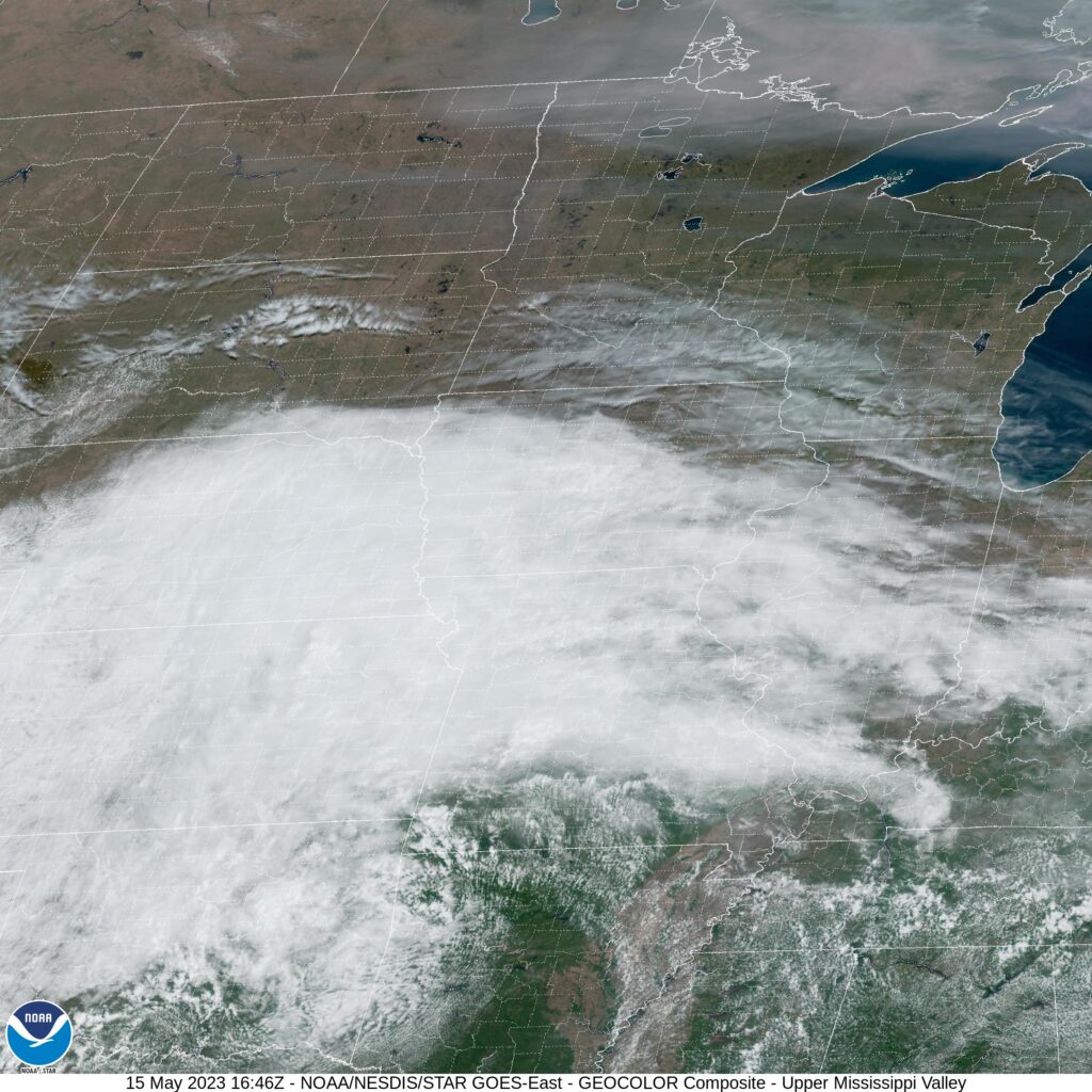
A robust snow season led to considerable concern for a massive flood season, especially in the Upper Midwest and further south through the Mississippi Valley. Fortunately, despite all the snow that the Dakotas and Minnesota saw this season, Iowa saw very little, and instead of aggregating, the threat for downstream flooding withered away. There was flooding in typical spots in the Upper Midwest, but nothing that was particularly overwhelming. Places that are often underwater were once again underwater for a couple of days.
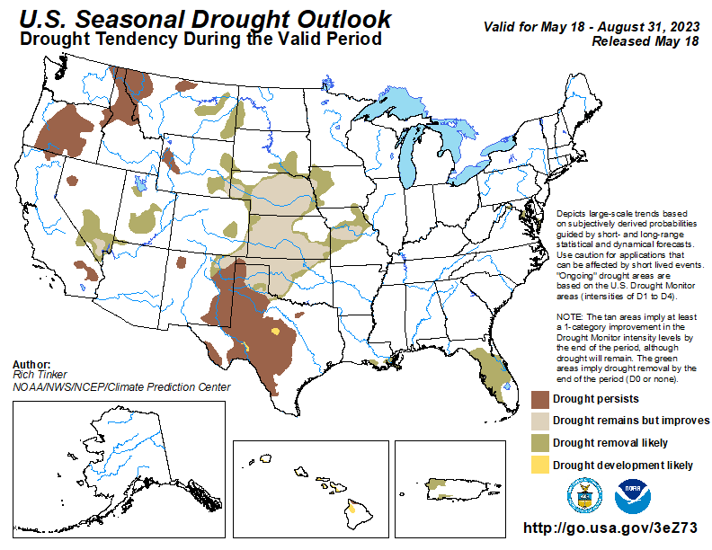
The heavy snow also afflicted the Sierras in California, and while the melting of the season did fill some reservoirs and watery spots that aren’t accustomed to be watery, the snow really served as a net positive, scuttling years of drought, and rescuing the local agricultural economy. In fact, there isn’t even a forecast for drought to return this season. Its part of a nationwide drought recovery forecast this summary, and surely the most notable part.
There is nothing to say that the tropical season won’t be just as active as the forecasts call for either, but that activity had stretched outside of the early bounds of the normal Atlantic hurricane season multiple times in the last decade or so. There are only 10 days until the North Atlantic Season starts, and we still await our first A storm, and will likely wait until the season begins.
There are still plenty of weather stories to continue to monitor and keep your eyes on, but this season is a full reset on a lot of the major weather stories that started the 2020s. For now, we are back to “normal”.