A pair of systems are bringing a taste of winter to the Midwest tonight and with another round coming Sunday night. The feature that has really already occurred in the Upper Midwest is a classic Clipper feature coming right out of Canada. There was a solid 2-5″ in a stripe north of the Twin Cities, and forecasts were pretty consistent on it.
A larger feature moving in this weekend from the central Rockies promises to make for more interesting weather, starting Sunday afternoon and lasting through at least Monday. But how much snow will come out of this system? That’s the big question, and there isn’t really a solid answer, but I’ll do my best to get us there.
My friends started messaging me earlier this week, exclaiming that their weather apps were calling for nearly 2 feet of snow! That seemed ridiculous, and I looked at the various weather models that I use, and ultimately, I came to the conclusion that yes, the forecast of 2 feet of snow in Minnesota was ridiculous. At the time, the feature looked like, at most, a producer of 7-10″ of snow. It now projects as a stronger storm, but 2 feet still seems pretty absurd.
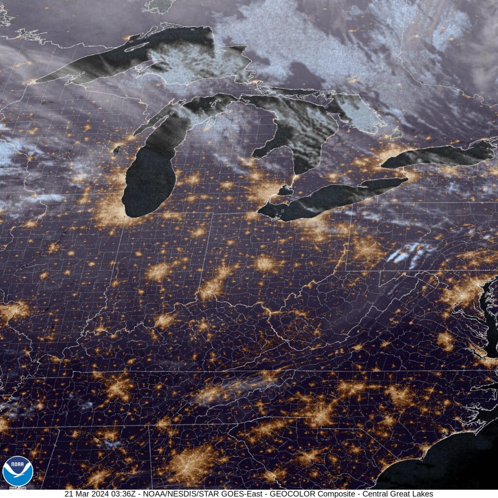
It’s not that there won’t be enough moisture. It’s spring now, and there aren’t any features in the Gulf blocking moisture, but all of the things one looks for in a system that sees snow totals stack up aren’t there in the Twin Cities. Despite the snow that fell overnight last night, there is no snow on the ground for most of the region, and the ground is quite warm.
Also warm: the atmosphere. This system is going to be rising from the south and pulling some warm air northward. This will change some of the precipitation to rain, and failing that, will reduce the moisture to snow ratio. Water crystallizes as it gets colder, so the amount of liquid water it takes to get to an inch of snow becomes less and less. The snow this weekend will fall in temperatures that will be flirting with, if not exceeding, freezing.
There will be a gradual ratio through Minnesota, and some bright bands of heavier and lesser snow owing to some local effects, but not everywhere will hit over 10″. Some places sure will surely avoid the heaviest precipitation and see less accumulation, and some areas will see heavy precipitation that falls more as rain than snow. Somewhere between, there will be a stripe that gets 12+ inches of fresh, wet snow.
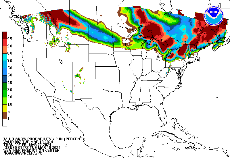
Now, where will that area of heaviest snow be? Let’s see the NWS’s best guess:
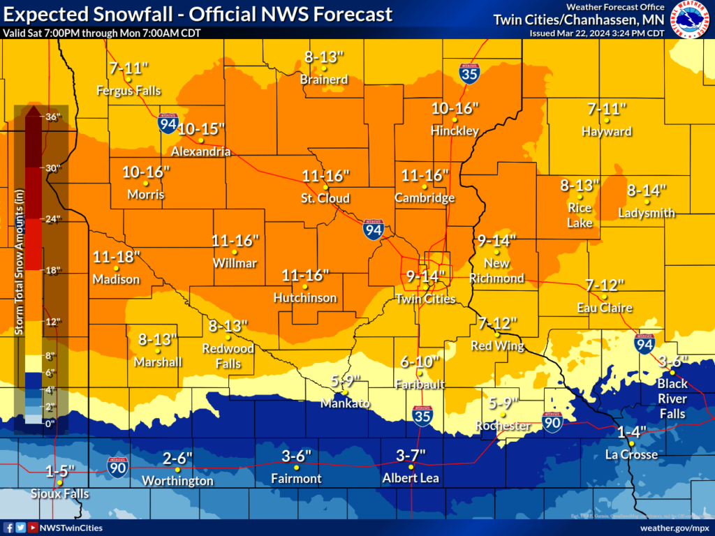
Well, that narrows it down. These are the most likely totals, according the NWS forecast, but I also think we should expect the low end of these ranges, especially on the north and south parts of the forecast area.