Michigan (and congrats to the Wolverines today) and Alabama are merely a day’s drive apart, so long as you are willing to spend about 9 hours in the car. It’s a 639 mile drive, which puts the drive at about 68mph. I-65 is a fast driving road. Michigan already played today, but Auburn and Alabama have just started. Read all about this trip as you enjoy the game!
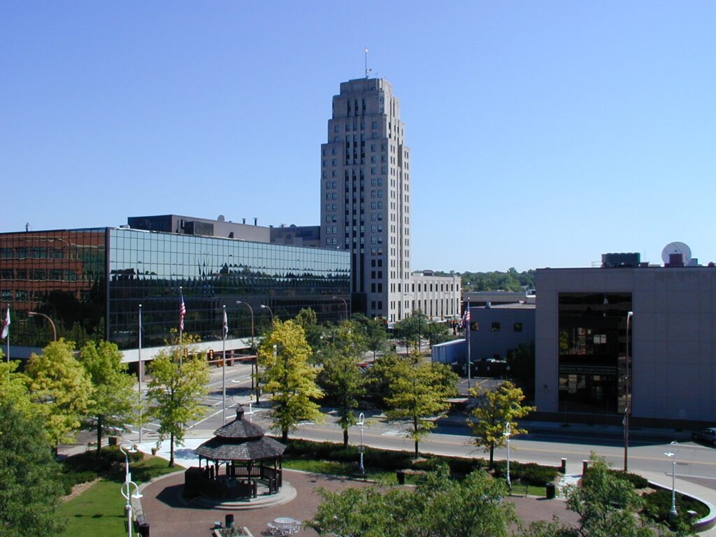
Battle Creek, Michigan
It’s been a pretty snowy stretch for the Great Lakes, but that hasn’t translated to the Lower Peninsula. Cold air is making itself comfortable along the I-65 corridor, and in a lot of cases, that has meant clear skies. There is a weak perturbation along the Ohio River that could spit out some flurries as we drove through Kentucky, but it should be winding down as we reach the Commonwealth. Clear skies will return again as we dip into Tennessee and on to Florence.
We as Americans are blessed with two fairly large Florences. The one in Alabama, the one we are forecasting for today, features a bit of history, as the site of famous recording studios during the early ages of rock and popular music. Let’s see if this forecast rocks, eh?
At 953PM, CT, Florence was reporting clear skies and a temperature of 35 degrees. Dew points were near 20, and surely, Florence would drop below freezing overnight. Since Florence has already had their first freeze for the year, freeze warnings were confined to the Gulf Coast, north of a cold front and on the northern end of the strong jet trough that fed the system in the northeast yesterday. The jet trough is long waved, and not expected to move much for the next two days. This means the cold pool parked over Alabama isn’t going to shift out of town either. There will be chilly days and even colder nights in Florence, given the clear skies that are expected. Tomorrow – Sunny, High 53, Low 25 Sunday – Sunny, High 52, Low 30
TWC: Tomorrow – Generally sunny despite a few afternoon clouds High 52, Low 25 Sunday – Some clouds in the morning will give way to mainly sunny skies for the afternoon. High 51, Low 31
AW: Tomorrow – Mostly sunny High 50, Low 24 Sunday – Partly sunny High 52, Low 32
NWS: Tomorrow – Sunny, High 50, Low 24 Sunday – Mostly sunny, High 51, Low 30
WB: Tomorrow – Mostly sunny, High 48, Low 27 Sunday – Partly cloudy in the morning, then clearing, High 48, Low 36
WN: Tomorrow – Mostly sunny, High 50, Low 24 Sunday – Partly cloudy, High 50, Low 30
CLI: Tomorrow – Sunny, High 51, Low 28 Sunday – Sunny, High 51, Low 33
A look at the satellite provides a good look at warmth radiating out of the southeast overnight (AKA, clear skies). Well, at least north of that band of clouds in central Florida.
You may have been a party to the nasty Thanksgiving Day weather from the Great Lakes to the New England, but Fort Smith got in on the action before it was cool — Quite literally. The feature originated in the middle of the country, and in it’s infancy, only ha a weak cold pool that barely stirred things up in the Ozarks on Monday. There iwas a splash of rain, but the high on Monday was nearly exactly the same as it was on Tuesday. Of course, the overnight lows shifted by a dozen degrees (Keeping in mind that the low listed for Monday was at the end of the day, rather than at dawn as it usually is), and it was in the 70s on Sunday, so there was a bit of a sea change for Fort Smith. It didn’t get as cold as it would elsewhere, and the moisture was much less than it was for points northeastward. Victoria-Weather had a pretty good forecast to take home the victory Actuals: Monday .01 inches of rain, High 58, Low 39 Tuesday – High 58, Low 32
Thanksgiving is on Thursday, which means for many of us, the next 5 days or so are going to be jam packed with travel to and from our family’s houses. Fortunately for me, this year my family is staying local, but that doesn’t mean everyone will be so fortunate. Indeed, this year misfortune will befall many travelers.
Wednesday, of course, is one of the busier travel days of the year, and it was already a headache. Even at the late hour that I am writing this, there is a blob of precipitation moving from the Tennessee and Ohio Valleys northeast towards New England. There is an oscillating warm front extending from an area of low pressure centered south of Memphis, extending northeastward towards Pittsburgh. Right now, this blob is all rain, and it’s causing some flight headaches to areas in and around the shower activity, including hubs like Cincinnati.
Of course, I have to say “right now” because that is going to change, even overnight in some of the areas where rain is falling. Cold air is blowing in from the north. Where skies are still clear, it’s already down to the 30s, on it’s way colder, and ready to bring snow to the southern Great Lakes by tomorrow morning, and even some Lake effect snow to western New York.
Compounding the issue is that the low is going to be following the boundary to the northeast. By the time the turkey is served tomorrow, the system will be centered around New York City. This means wind and amplified rain all along the I-95 Corridor, but also, as low pressure gets significantly more focused, the cold air will wrap in more assertively. More substantial snow is coming for interior New England and New York through the day tomorrow, and it is expected to be wind driven and very disruptive. Plans to get home tomorrow without any problems are probably a fool’s errand at this point. Snow won’t really wind down in New England until after midnight, even if rain cuts off along the Seaboard before that time.
The good news, on the other hand, is that this feature is going to scoot out pretty quick. You won’t be trapped with inlaws all weekend. In fact, if you are in a reasonably sized town, I would say that you will have a good chance of still making it to the mall for Black Friday, if that is still a thing that people do. Cold air is then going to dive into the middle of the country, and continue to blow over the Great Lakes, meaning more snow in the UP, western Michigan and around Buffalo, but a pretty decent weekend to decompress from the holidays.
I’m not the only Ryan H. in the weather world. I tried my hand at Youtube, and I was reminded as to why I never panned out as an on air meteorologist. If you are deep into the internet as this website, or maybe you found me through my books, perhaps you have also intersected with Ryan Hall, another well known internet weatherman, who has something I never did: technological savvy and organization. And probably more time to dedicate to this craft.
Of course, there are huge differences between Ryan Hall and Ryan Henning, talent levels aside. I focus on individual, site specific forecasting and synoptic scale discussions. Ryan Hall makes videos discussing major weather stories, and will go live with coverage of outbreaks. He is connected with storm chasers, and can bring in live video from storms as they happen. I am out here just writing stuff, occasionally sharing a video.
I’m filling a gap that nobody, perhaps, needed filled. Ryan Hall is looking to fill in the gaps that the traditional TV powerhouses has not filled. Not only his Hall on the big events, breaking them down on Youtube, but he has now launched a 24/7 video feed, and set it to music that other fans of “Local on the 8’s” can get behind. Check out the stream below:
I noted at the launch of Fox Weather that they were filling in a bit of a gap. They were focused almost exclusively on live weather, rather than studio shows, scheduled programming or commentary. The Weather Channel has sort of evolved into something that resembles an offering that should be on Discovery Plus, and Fox Weather was different, however they too are finding it hard to fill a day with JUST the weather this day in age.
Accuweather and WeatherNation are more niche offerings, but they attempt to cover the day’s weather headlines and are finding that the most effective way to do that is to pretape segments and re-air them every half hour or so. Hall’s newly launched 24/7 livestream, shared above, cycles through the alerts and warnings, focusing on the most significant weather, and inserting some automated text from an AI system. Hall has eliminated the desire to make television rather than cover the weather, and he has eliminated the overhead that Accuweather and WeatherNation were attempting to avoid.
Like I said, this is perfect for the fans of Local on the 8’s, but with better graphics and better technology. If you like to go old school, I suppose you could always go that route while Ryan Hall works out the last few kinks. I’m sure it won’t take him long.
Western Arkansas, just south of the Ouachita Mountains is where Fort Smith lies. It’s an interesting place to forecast for at any time of year, but particularly with the holidays on the way.
At 953PM, CT, Fort Smith was reporting a temperature of 57 degrees with clear skies. Temperatures were dropping precipitously in Oklahoma and Arkansas, but Fort Smith found itself to be the cool spot of the region, even among the more recently reporting spots. The jet has shifted to the middle of the country, a sure indicator of the looming winter season, and an opening for the threat of particularly chilly air in Fort Smith. Surface low pressure is analyzed south of the Quad Cities, and a cold front is stretched through Kansas, poised to drop through Arkansas tomorrow. The cold front may touch off a few showers in and around Fort Smith about midday tomorrow, setting the stage for a breezy and cool afternoon. Tuesday will be cool, but dry as a weak ridge sets up, anticipating a busy holiday travel week. Tomorrow – Drizzle around midday, cloudy and getting cooler, High 60, Low 40 Tuesday – Mostly sunny, High 58, Low 34
TWC: Tomorrow – Cloudy early with partial sunshine expected late. Slight chance of a rain shower. High 59, Low 43 Tuesday – Mostly sunny skies. High 59, Low 34
AW: Tomorrow – Cloudy most of the time, breezy and cooler High 61, Low 43 Tuesday – Partly sunny High 57, Low 34
NWS: Tomorrow – Mostly cloudy, then gradually becoming sunny, High 61, Low 44 Tuesday – Mostly sunny, High 58, Low 36
WB: Tomorrow – Mostly sunny, high 59, Low 42 Tuesday – Sunny, High 57, Low 37
WN: Tomorrow – Partly cloudy, High 61, Low 43 Tuesday – Mostly Sunny, High 58, Low 36
CLI: Tomorrow – Mostly cloudy, High 67, Low 41 Tuesday – Mostly cloudy, High 59, Low 35
As you may have established, the low on Monday will come at midnight, leading into Tuesday. The cold front is not active, but you should still be able to find it on the satellite imagery.
I am someone who reflexively shirks the adaptation and rapid proliferation of new terminology, even if that terminology has existed in other circles for quite some time. This has been extremely common over the last 15-20 years in the weather community, from the Polar Vortex to a Bomb Cyclone to the Atmospheric River. I shirk because, to an item, when they hit the popular zeitgeist, and are uniformly misused.
I’m coming around on the usage of some of these terms though. I have a friend who works closely in science communication, and she has expressed an appreciation for terms like these, which can either clearly indicate what is going on for the lay person, in terms of impacts and importantly, how to prepare of these storms. When the Weather Service is using this terminology, it’s good, when Jimmy Fallon is using the terminology, it’s probably not good.
So with all that said, I head a national meteorologist describe the recent and deadly weather in the Pacific Northwest as a “double whammy” that included a Bomb Cyclone followed by an Atmospheric River. This is fine with me, as we have the expectation that a bomb cyclone will bring very strong winds, and an atmospheric river brings heavy rain. That’s what happened, that’s what residents of the area prepared for, and in the interest of being complete pedantic, was meteorologically misleading.
It wasn’t so much a double whammy as one really big whammy. First, let’s make sure we have a basic definition of what each are. An atmospheric river is a jet stream that flows from the Pacific Ocean to the west coast. In a bygone era, we may have called this the Pineapple Express for example, but the atmospheric river nomenclature is applied to any jet streak intersection with the west coast. The jet is always a conduit for moisture, but because of a semi permanent ridge off the California coast, doesn’t always intersect with the west coast, making it more remarkable.
A bomb cyclone is an area of low pressure (an extratropical cyclone) develops explosively, specifically by dropping an average of 1 mb an hour as the low pressure deepens. This doesn’t happen often, and when it does, in encourages very strong winds. Bomb cyclones are almost always developed over the sea, where friction doesn’t inhibit the development, which means winds also reach some pretty extraordinary velocities.
One important component to a bomb developing is a strong jet streak. Low pressure develops on the left side of a jet at th point the wind starts to decelerate, if you are following the course of the wind, particularly in trough environments. In fact, the jet is often interpreted at the surface as a cold frontal boundary, trailing the low pressure.
So an overwater cyclone develops with the help of a strong overwater jet streak. If the cyclone moves inland, it is very possible, even likely the jet will follow. At atmospheric river, in this parlance, is an ingredient in the development of a bomb cyclone. The bomb cyclone then moves inland, with the atmospheric river in close pursuit.
The terms make sense, and I don’t have a problem with their usage, but now there is a little bit of background for you.
It’s 8 days since we put together the forecast for Midland, and I can tell you that most of the country is now much cooler than it was last week. The 80 degrees I see in the forecast verification are of a bygone era. It’s in the 50s now in Midland. Proving that things are constantly changing, though, Midland will be back up in the 8os this weekend. The forecast from last Thursday was fairly simple, with warm air, and warming overnight lows to start the weekend. Decent forecasts were had by all, the best came from Weatherbug. Actuals: Friday – High 80, Low 46 Saturday – High 80, Low 57
I like writing road trip forecasts, but doesn’t this seem backwards? It’s getting into the depths of November, and the plan is to leave Orlando for New England? It’s going to take two days, including one that is quite a bit longer than the first to cover 1324 miles. The pace, largely taking I-95 northward, will be 66.7mph, covering 534 miles on the first day, and leaving a grueling day on Friday. The best we can hope is that the weather cooperates.
DAY ONE (Friday)
Orlando, Florida
Low pressure that has moved out of the middle of the country, and is parked in the now over the mid-Atlantic. An associated cold front is now pushed into the Atlantic, with colder air digging into the southeastern United States. The air will be stable behind the cold front, which means clear skies and breezy, but fairly easy driving to Vander, North Carolina, just outside of Fayetteville.
DAY TWO (Friday) Wrap around moisture is a big deal on this feature, bringing pretty heavy snow into the northern Appalachians. We will be in the dry sector, in the lee of the Appalachians to start the drive, but by the time we reach Washington, we’ll start to encounter some light precipitation. Fortunately, on this side of the system, it will be warm enough that precipitation will be falling as light rain, and will continue to fall as such until we start our turn inland in Connecticut. Some of this light rain will mix with light snow in western Massachusetts, and a wintry mix is in store for our arrival in Manchester.
This is a purely subjective take, that Carson City was on the right side of the Sierra Nevada range at the end of the week. I am not a big fan of snow, and most of it fell on the western exposures during our Thursday – Friday forecast. There were trace amounts of precipitation in Carson City during our forecast period, but the heavier activity was up by Lake Tahoe. You know, where snow lovers can keep it to themselves. Rain started falling in Carson City just before midnight which really threw things askance for our forecast grades, and ultimately led to a shared victory between the unlikely duo of Weatherbug and WeatherNation. Actuals: Thursday – rain reported, not measured, High 55, Low 37 Friday – Mix reported, not measured, High 41, low 30