
It seems as though life is going to get a bit more interesting in Michigan over the next 24 hours. Let’s see just how interesting it gets in Saginaw.
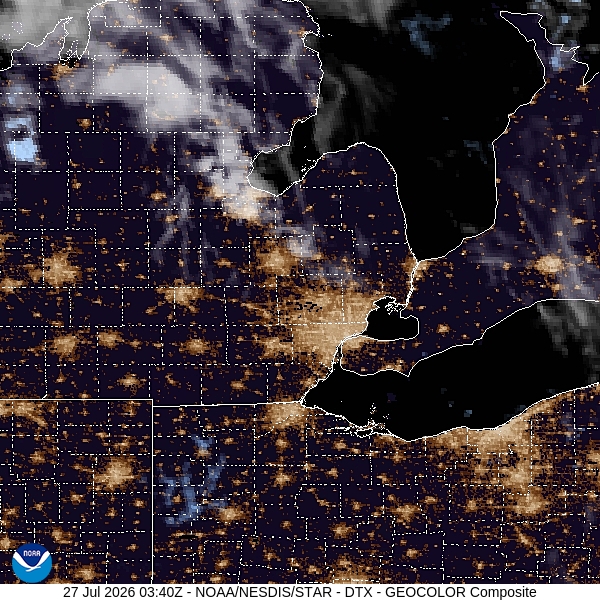
At 1215AM, ET, Saginaw was reporting clear skies and a temperature of 73 degrees. The dew point was 68, and it wouldn’t be surprising to see some fog overnight. While the SPC has hinted at thunderstorms, potentially strong, all day, the most recent model guidance has started to clarify two distinct batches of storms developing, and one is being seen over the Upper Peninsula, while the other is having a tougher time launching in eastern Wisconsin. A slow moving warm front moving through the area will provide the path for whatever develops to shift to the southeast. With the Wisconsin batch lagging behind, the UP area may take advantage, potentially leading to a higher threat for overnight or early morning severe weather.
While the warm front is the main show, the occluded low pressure center will ensure a threat for a few scattered showers into the afternoon as well. Expect a hot beginning to the work week in Saginaw, even while dodging rain drops. The low pressure center will move towards New England, leaving high pressure to build back in over Michigan on Tuesday with cooler conditions.
Tomorrow – Early morning storms, then mostly cloudy, High 87, Low 68
Tuesday – Mostly sunny, High 78, Low 65
TWC: Tomorrow – Scattered thunderstorms developing during the afternoon. Potential for severe thunderstorms High 84, Low 66
Tuesday – Cloudy early with partial sunshine expected late High 77, Low 66
AW: Tomorrow – Showers and a heavier thunderstorm in the morning; variable clouds, breezy, humid; thunderstorms can bring flooding downpours, hail and damaging wind gusts High 84, Low 68
Tuesday – Variable cloudiness, breezy and humid with widely separated thunderstorms High 80, Low 66
NWS: Tomorrow – A chance of showers and thunderstorms before 11am, then a chance of showers and thunderstorms after 2pm. Mostly sunny, High 87, Low 68
Tuesday – Partly sunny (early rain) High 79, Low 66
WB: Tomorrow – Partly cloudy with a chance of showers and thunderstorms. High 83, Low 71
Tuesday – Partly cloudy High 81, Low 67
WN: Tomorrow – Partly cloudy with showers and chance of storms, High 87, Low 68
Tuesday – Partly cloudy with showers, High 79, Low 67
CLI: Tomorrow – Thunderstorm, High 82, Low 67
Tuesday – Rain showers, High 76, Low 66
It’s looking more and more like the heavy storms are going to crop up and pass east of Saginaw. I imagine that will help temperatures sneak up fairly high. Nice work by us avoiding the heat dome!
Comment (1)