
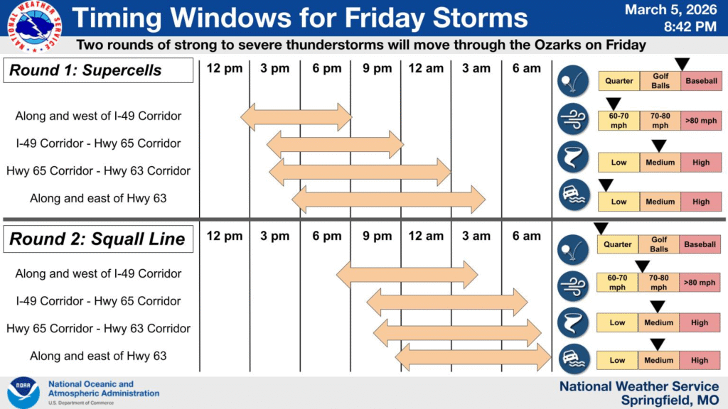
5:00PM: Severe weather is breaking out in the Plains again today, so please be sure to monitor your local weather service and stations. Elsewhere, things have returned to “nearly perfect” in southern California, save for some high winds in the hills north of Los Angeles. Thankfully, normal moisture has returned, and this wind isn’t coupled with a fire threat.
Updates 3/5
11:09PM – It’s late, but as you may know, we have seen some severe weather tonight, and earlier this week. I haven’t missed my chance, because there will be more!
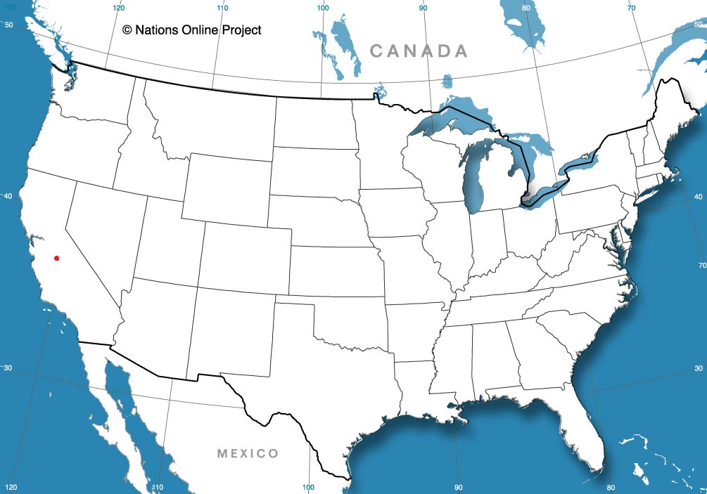
San Diego, California
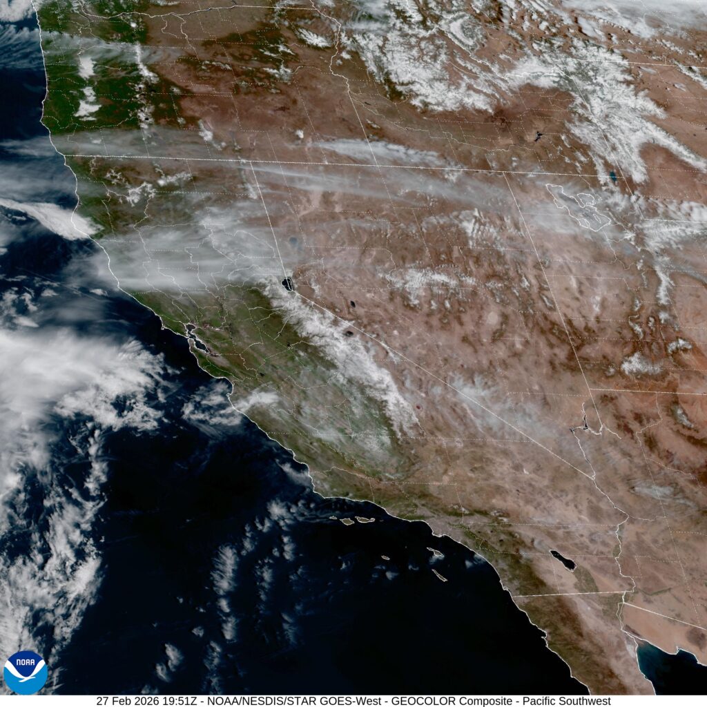
Our next couple of forecasts are going to be in California. Very recently, the Golden State has seen some significant weather, but will that return any time soon?
At 1151AM, PT, San Diego was reporting a temperature of 81 degrees with clear skies. After some patches of rough weather earlier in the month, Southern California was back to living up to its reputation as a sunny, warm destination.
On satellite, there is an obvious area of low pressure over the eastern Pacific that is trying to fold into the upper level jet pattern. It will weaken in the famously inhospitable to synoptic features eastern Pacific, but will arrive in northern California late on Saturday, with an associated cool front stirring things up a bit in San Diego, though failing to bring anything but fresher air by late Sunday.
Tomorrow – Sunny, High 82, Low 60
Sunday – Partly cloudy, High 80, Low 57
TWC: Tomorrow – Partly to mostly cloudy. High 78, Low 56
Sunday – Some sun in the morning with increasing clouds during the afternoon. High 74. Low 55
AW: Tomorrow – Sunny to partly cloudy and warm High 77, Low 57
Sunday – Pleasant with sunshine and a few clouds High 73, Low 55
NWS: Tomorrow – Mostly sunny High 81, Low 61
Sunday – Sunny, High 78, Low 58
WB: Tomorrow – Partly cloudy. High 81, Low 63
Sunday – Mostly sunny High 81, Low 59
WN: Tomorrow – Mostly Sunny, High 81, Low 61
Sunday – Mostly Sunny, High 77, Low 58
CLI: Tomorrow – Mostly cloudy, High 74, Low 60
Sunday – Sunny, High 70, Low 57
Well, well, well. That is certainly an interesting array of forecasts, isn’t it? Wind flow and cloud cover are going to be quite impactful, but things are weird if there is a warm/cold divide and Weatherbug shows up on the warm side. Satellite looks great, with that low over the Pacific making its presence known.
Underdelivered
At the beginning of February, we looked at the forecast in Janesville. From outlet to outlet, there were varying degrees of snow in the forecast for the 6th, from flurries to Clime calling for heavy snow. There certainly was snow in Wisconsin on that Friday, but none of it was reported in Janesville. It came down to temperatures, as it often does. The cool down was particularly well forecast across the board, however the warmth ahead of the snow was underestimated, leading to widespread forecast error. The real issue was how much the temperatures would cool that night, which meant that the warmest low temperature forecast ended up winning the entire forecast. The Weather Channel was the winner.
Actuals: February 6th, High 40, Low 18
February 7th, High 24, Low 9
Grade; C
Coming Soon…
This map is pretty featureless, but even without forecasts, we’ll still be striving to cover all the news that comes about in the early spring.
Madera, California
January Forecaster of the Month
January was a return to winters of yore. It was cold, there was snow all the way down to Florida and nobody was happy with any of it. Winter is back, baby! On top of that return to normal, we had a return to normal in our forecast champions: The Weather Channel was the top forecaster to start 2026.
| Outlet | Forecast Wins (year) |
| The Weather Channel | 1.5 |
| Accuweather | 1 |
| National Weather Service | 0.5 |
| Clime | |
| Victoria-Weather | |
| Weatherbug | |
| WeatherNation |

Coming out of the deep freeze
At the beginning of the month, we took a look at Ames, Iowa‘s weather. It was a towards the end of the prolonged icy grip on the middle of the country, and temperatures were trying to warm up a bit. The cold wasn’t ready to let go, however, and temperatures never breached the freezing line. The snow remained out of the picture, which was some modicum of relief, and with the benefit of hindsight, we can see that it eventually would get warmer in Ames. The forecast was interesting. The consensus forecast was nearly the best one, but WeatherNation ended up earning their own spot on top of the leaderboard.
Actuals: February 2nd, High 27, Low 21
February 3rd High 29, Low 16
Grade: B
Updates 2/17
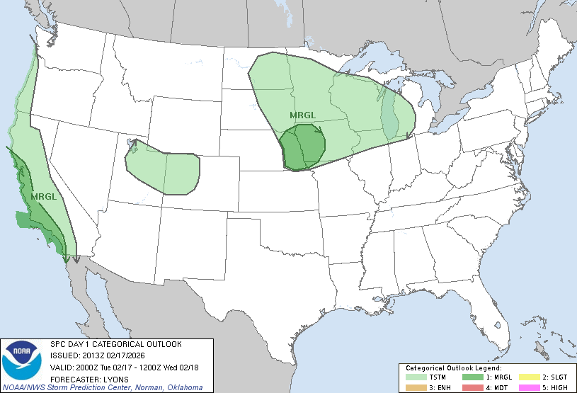
3:41PM I’m sorry, but what in the Wide World of February are we doing here? A marginal risk for severe storms on Mardi Gras in Omaha?
(Note to ed: Don’t look at Thursday’s forecast if this bothers you!)
Updates 2/15
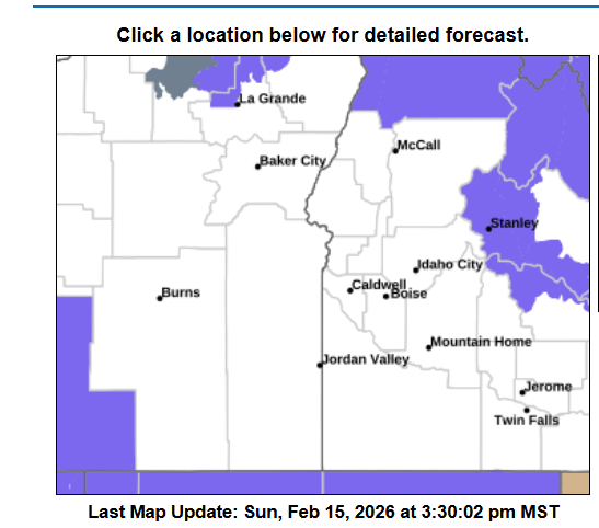
4:37PM: Things are active across the country, including severe weather in the Southeast and the potential for winter weather in the Northwest. I have to say, the current advisory map for Boise is fairly ominous. You’re surrounded!
Updates 2/14
10:53PM: Happy Valentines Day! Especially if you are in the middle of the country, and are a fan of warm weather. Record highs were reported in Minneapolis today, as a part of that surge of warm air. Heart shaped sunglasses for all.