Today is the 10th anniversary of a major tornado outbreak, which caused death and destruction across the southeast, most notably when a tornado hit Tuscaloosa, including the campus of the University of Alabama. This time of year has no shortage of such anniversaries.
This year, fortunately, there aren’t any major severe weather outbreaks on the immediate horizon. Model guidance is in lockstep over the next few days, so that can be taken with some degree of certainty that there isn’t a major event before the end of April.
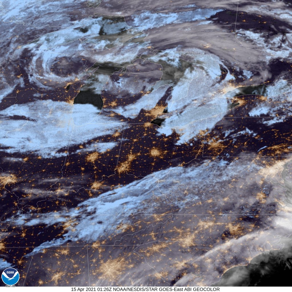
That’s not to say it won’t be stormy. Every increment of the forecast features a little wave, producing showers and thunderstorms rolling through the country, particularly from the Central Plains to the Ohio Valley southward. It’s not always the same wave, and no area is going to be relentlessly active for the next several days, but there will certainly be many active radars in the south central and southeastern US through the end of the work week.
Beyond nationally calm Saturday, divergence begins to settle in. Timing and placement are askew for the various computer guidance that meteorologists have available. Going beyond 5 days for a forecast is never generally as accurate as one might hope, but for a lot of the country, Sunday and the early part of next week are all over the map.
One thing that is in concert, is that none of the model maps are quiet. There is always something going on. A broad trend like that can be relied upon, moreso than a forecast for a particular location. That means the country can expect to see a lot going on in early May, even if we can’t confidently say what we should expect quite yet. With the anniversaries of Tuscaloosa, Moore and so many other coming up this time of year, “action” is not something everyone should look forward to.