
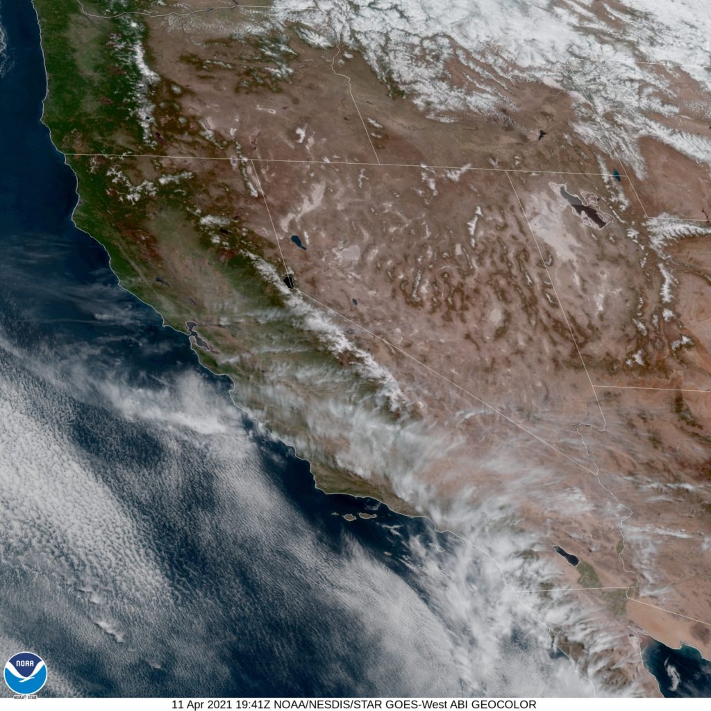
While most of the population of Utah is in a narrow strip of the Salt Lake Basin, right along I-15, there is at least one big outlier: St. George and Cedar City in he southwest corner of the state.
At 156PM, MT, St. George was reporting a temperature of 77 degrees with clear skies. There is a bit of an absence of upper level dynamics, and across the arid inter mountain west, that means sunshine and dry air. Dew points are sitting in the teens, so temperatures this afternoon should warm unabated.
The entry region of the nearest jet is centered over the Pacific Northwest, and it will shift towards Wyoming through the day tomorrow. Flow in the wake of the jet will curl cyclonically to join the jet streak, leading to the development of low pressure over Nevada. Southerly flow will emerge in southern Utah later in the day Tuesday. Expect dry conditions to continue over St. George, but some rain and snow to emerge over the southern faces of taller Wasatch Mountains through central Utah by Tuesday night.
Tomorrow – Sunny, High 82, Low 51
Tuesday – Partly cloudy and breezy, High 81, Low 51
TWC: Tomorrow – Partly cloudy skies. High 84, Low 50
Tuesday – Partly cloudy early. Mostly sunny skies with gusty winds developing later in the day. High 81, Low 52
AW: Tomorrow – Intervals of clouds and sun High 83, Low 47
Tuesday – Mostly sunny; breezy in the afternoon High 79, Low 53
NWS: Tomorrow – Mostly sunny High 83, Low 51
Tuesday – Sunny, High 79, Low 55
WB: Tomorrow – Sunny, High 81, Low 55
Tuesday – Partly cloudy in the morning, then becoming sunny, High 80, Low 56
WN: Tomorrow – Mostly sunny, High 85, Low 51
Tuesday – Mostly sunny, High 81, Low 55
FIO: Tomorrow – Partly cloudy throughout the day. High 84, Low 50
Tuesday – Partly cloudy throughout the day. High 81, Low 53
This was an interesting forecast to construct, watching low pressure develop on the same map in an area that wasn’t the High Plains. Not something we get to look at every day. It’s pretty sunny today, though.
Comment (1)