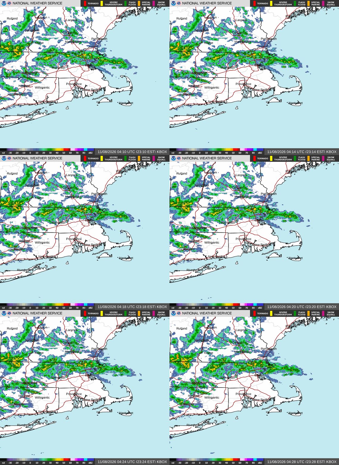
We are spending this Saturday evening in the nation’s smallest state.
At 951PM, ET, Providence was reporting a temperature of 50 degrees with overcast skies. Providence hasn’t reported in an hour, but radar observations and nearby locations, such as Pawtucket, indicate that it is likely not much has changed. Low pressure over New England has drifted along the coast for days, bringing flooding rains to many sites, however it is finally projected to carry out of the area early next week.
The back end of this feature will slide through Rhode Island before sunrise tomorrow, then open things up for a pleasant end to the weekend. Unfortunately, guidance suggests the development of an inverted trough in northern Quebec, which will rotate back into Rhode Island, bringing a quick shot of rain around midday on Monday.
Tomorrow – Rain ends, then partly cloudy, High 58, Low 48
Monday – Mostly sunny, with a shot of rain in the early afternoon, High 56, Low 43
TWC: Tomorrow – Sunshine and clouds mixed. High 57, Low 47
Monday – Cloudy – High 57, Low 44
AW: Tomorrow – A passing shower this morning; otherwise, breezy with clouds giving way to some sun High 60, Low 46
Monday – Partly sunny with a shower in spots; breezy in the afternoon H9gh 56, Low 42
NWS: Tomorrow – Partly sunny, then gradually becoming sunny, (early rain) High 60, Low 42
Monday – Mostly sunny, High 58, Low 40
WB: Tomorrow – Mostly sunny (early rain). High 59, Low 45
Monday – Mostly sunny High 56, Low 43
WN: Tomorrow – Partly cloudy with showers, High 60, Low 44
Monday – Partly cloudy with showers, High 58, Low 40
CLI: Tomorrow – Partly cloudy High 60, Low 45
Monday – Rain showers High 56, Low 42
Rhode Island is enjoying some clear skies right now, but you can see the radar is still fairly live tonight.