
10:33AM: Isaias has formed in the Gulf, and you can see the wind barbs drawing towards and around the center of his circulation off the Mexican coast. There are ample showers and storms tied to a slow moving boundary in the Florida Peninsula, and the air is dry along the Gulf Coast. That said, the storm is in very rich air, and now appears primed to develop into the year’s first hurricane. Steering flow will keep him over the Gulf, getting stronger, for a couple of days. Right now the guidance has him making landfall around Pensacola. If it misses, I will guess it goes further to the east, towards Panama City. Still a lot of the week left to go, with a projected land fall coming late Friday.
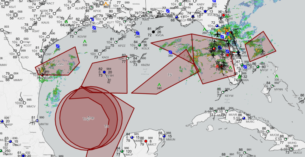
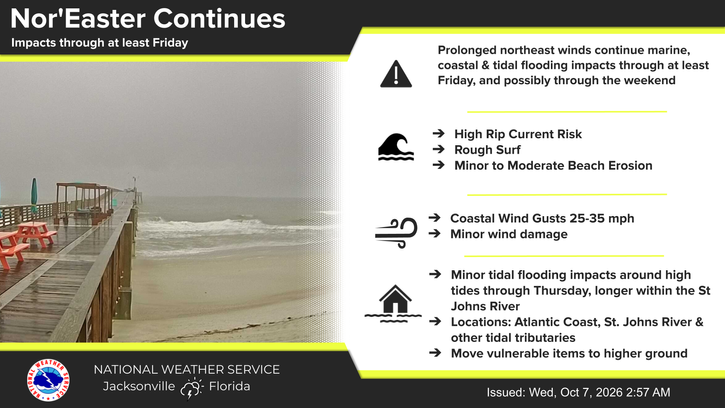
11:41AM: The rain currently in Florida shouldn’t be discounted. It has brought historic rain to the northern part of the state over the beginning of October, and is related to several perturbations along the coast. Jacksonville isn’t far from where Isaias will end up, and they don’t even touch on it in their daily highlights.
12:08PM Guidance right now pretty consistently calls for at least a Cat 1 storm out of Isaias. Thi is a strange year, but I’ve learned recently that storm intensity isn’t often anticipated well. Don’t be surprised if he ultimately caps as a Cat 2 or even low grade Cat 3.