
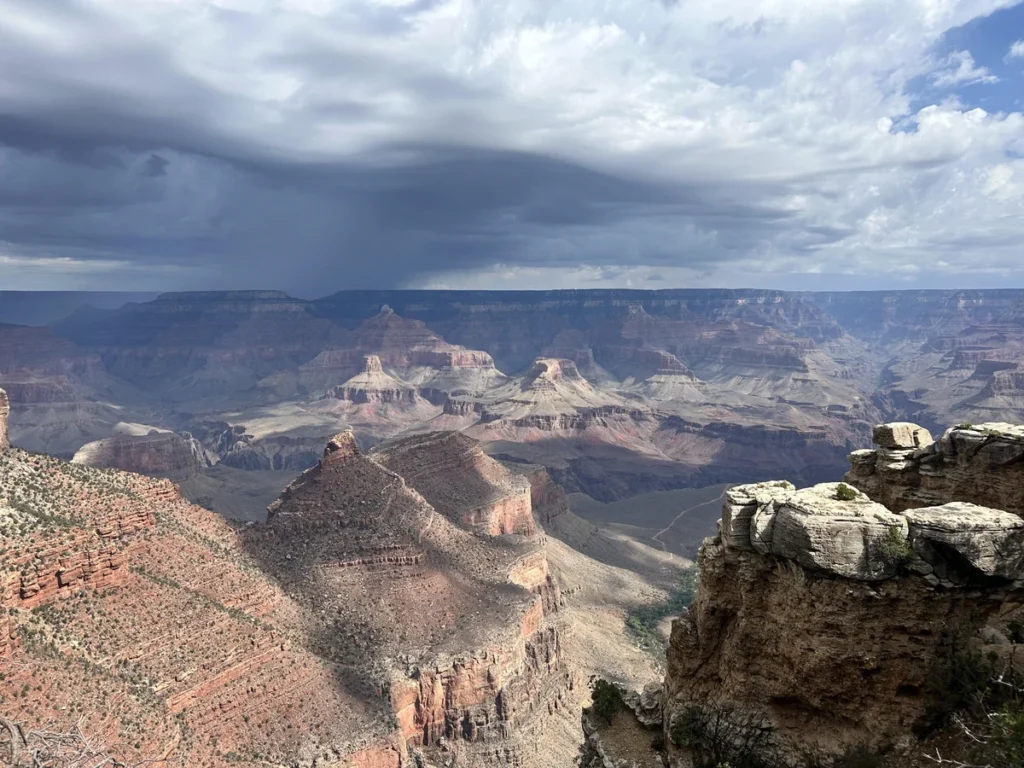
This time of year is one of the more active. There is the most heat load in the oceans, so we see the rise of hurricane season, which will peak, on average, around September 10th. Also this time of year, the heat allows more moisture at higher levels of the atmosphere, which allows it to drift inland and participate in the season monsoon across the Rockies and the Southwest.
Because of the scope, ferocity and impact on high population areas, hurricanes tend to get the most attention, not only this time of year, but even when they are out of season. This season is offering a different perspective.
Tropical Depression Five is lingering off the coast of Louisiana, but otherwise, we are going to get to September without an Atlantic hurricane this year. The NHC and Colorado State predicted that we would see a below normal season this winter, but this is particularly quiet, a welcome change over the last several years.
While the Caribbean and Gulf have been quiet, the Monsoon has been working on all cylinders. Monsoonal storms tend to crop up and hang out in place, thanks to a lack of motivational flow. Since they pop up, typically over a slope, and don’t move, there is a primary threat of flash flooding from these storms, as we have seen in the Grand Canyon.
Otherwise, Monsoonal storms fall on dry regions, and are famous for producing the haboobs and dust storms as the collapse under the weight of their own moisture content. Sandstorms are visually arresting, however this year looks to already be memorable for the torrential downpours. Flash flood watches and warnings are issued by the National Weather Service. Warnings in particular can be specific to individual valleys and riverways in their text, following the paths which floodwaters may take.