A stiff wind off of Lake Michigan in January isn’t often known for being terribly warm, but when it is accompanied by a thick overcast, strange things happen. This was how it went in Holland for our forecast at the beginning of the week. Temperatures were as warm as 40 on Monday, but they were accompanied by winds that gusted to nearly 50mph as well. That is brisk! The thick layer of overcast, particularly overnight that accompanied these howling winds were enough to keep the temperature from dropping off too significantly, which allowed for the base that lead to the warm days. In fact, the nearest NWS station was so warm that all precipitation there was reported as light rain, which went astray from every single one of our forecasts. I teased Clime for being so warm, but in the end, their robots claimed victory. Actuals: Sunday, High 32, Low 25 Monday . 02 inches of rain, High 40, Low 30
We’re taking a trip along the route of the most recent blizzard. Of course, against convention, we will be taking a trip through the south and along the Gulf Coast. It will take only a day to cover the 615 miles between the two towns, and the good news is, no blizzard!
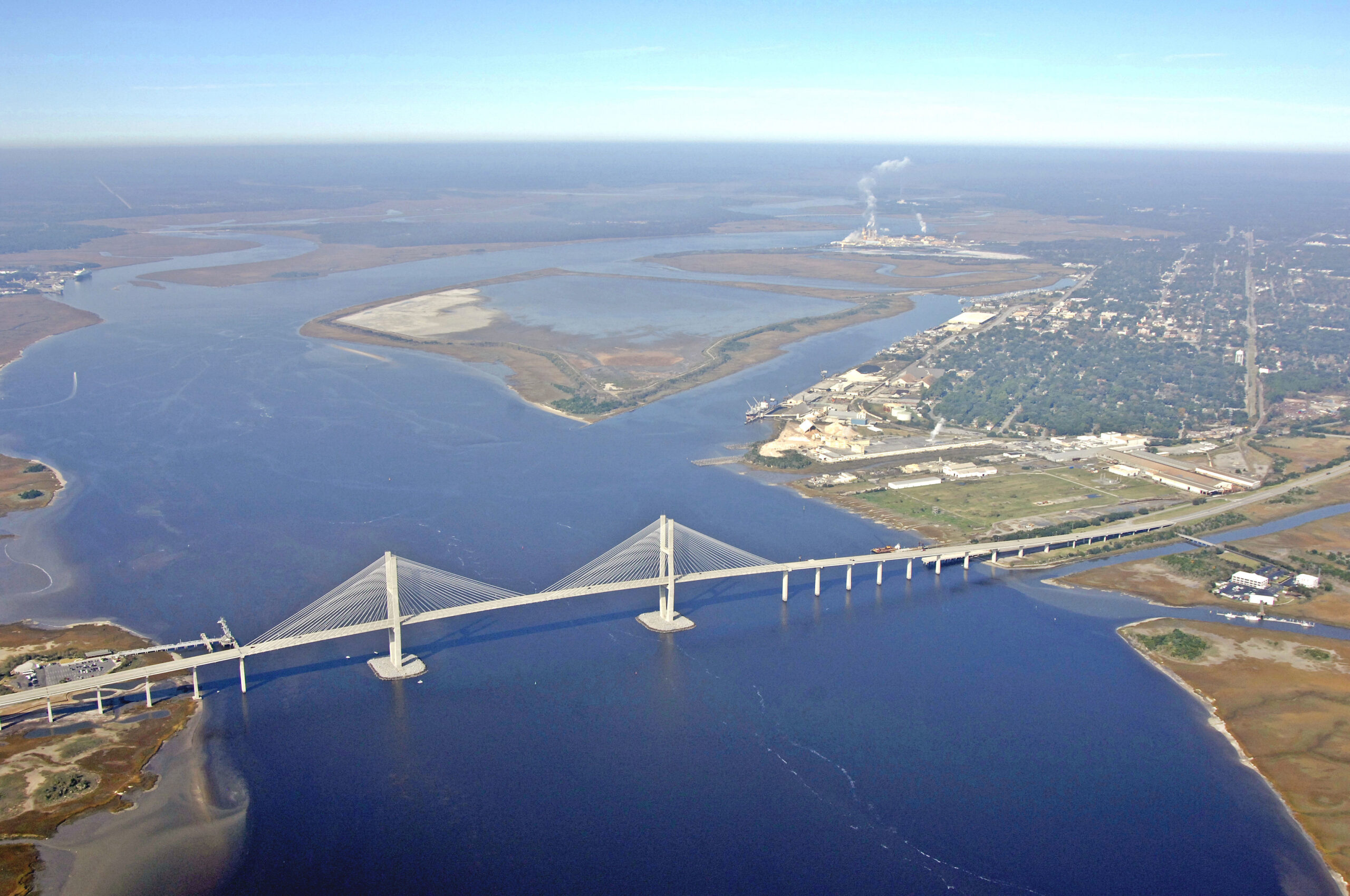
New Orleans, Louisiana
Low pressure is getting ready to pop in west Texas. There are already showers with a few embedded thunderstorms in the middle part of the Lone Star State, but things will really take off tomorrow. Fortunately for us, we are leaving in the morning, and will be clear into Georgia by the time the severe warnings start coming out in Louisiana, generally west of New Orleans anyways. Unlike earlier this month, the primary conditions in the southeast for our drive will be a steady southerly wind, bringing warm, moist air to the region. It will make the southeast feel like the southeast, and make this beach day feel closer to what it should. The 60s, instead of the 30s.
On Friday, when we put together a forecast for Chattanooga, I noted that WeatherNation was really “swinging for the fences” when they put a light wintry mix in their forecast, at odds with every other member of our forecasting group. Well, it wasn’t a mix, but rain was reported before midnight on Sunday, giving WeatherNation the last laugh. Well, not the last one. Despite having the only correct precipitation forecast, WeatherNation also had the standalone worst temperature forecast. It wasn’t very good for anyone, with lows dropping well below any forecast estimate, and high temperatures sitting at the top end of our forecast range, but Accuweather was the outfit that ultimately took the prize. Actuals: Saturday, High 50, Low 20 Sunday, .03 inches of rain, High 51, Low 26
2025 is off to a hell of a start in the Big Easy, where it seems that nothing is easy anymore. 2025 also marks 20 years since Katrina changed the city forever, but more recently, we saw 10 inches of snow in parts of the city. We also know now that in 2 weeks the Eagles, Chiefs and fans of the NFL are going to be in town, praying that the weather isn’t among the headlines.
At 1053PM, CT, New Orleans was reporting mostly cloudy skies with a temperature of 60 degrees. A light southeasterly flow was feeding into a developing boundary running roughly from Brookhaven, Mississippi to Deridder. Showers were running astride of the boundary, but there was a heavier thunderstorm north of Lake Charles, approaching Kinder. The boundary is just that, a boundary and isn’t truly tied to an organized area of low pressure, but a perturbation taking advantage of a little bit of dissonance in the jet aloft. The rainfall in central Louisiana will reach New Orleans shortly after sunrise, but won’t be terribly threatening, beyond some scattered showers through the morning, and overcast in the evening. A long wave, low amplitude ridge is building back into the western Gulf Coast. This will likely mean a bit of a meandering surface flow and some coastal fog south of New Orleans, but quiet weather in town. Tomorrow – Showers early, then becoming mostly cloudy. High 65, Low 57 Tuesday – Mostly cloudy, High 63, Low 48
TWC: Tomorrow – Cloudy. Slight chance of a rain shower. High 63, Low 56 Tuesday – Considerable cloudiness. High 62, Low 49
AW: Tomorrow – A thick cloud cover with a couple of showers High 64, Low 55 Tuesday – Low clouds, High 62, Low 48
NWS: Tomorrow – A 40 percent chance of showers before 9am. Cloudy, then gradually becoming mostly sunny, High 64, Low 54 Tuesday -Mostly cloudy, 62, Low 48
WB: Tomorrow – Mostly cloudy with a chance of showers in the morning then partly sunny in the afternoon, High 63, Low 56 Tuesday – Mostly cloudy in the morning then becoming partly sunny, High 61, Low 54
WN: Tomorrow – Partly cloudy with showers, High 63 Low 55 Tuesday – Mostly cloudy, High 61, Low 48
CLI: Tomorrow – Light rain showers, High 65, Low 56 Tuesday – Mostly cloudy, High 63, Low 48
Liquid precipitation is something most folks in Louisiana can understand. Here comes some now!
1:28AM Not only is the cold sweeping into the Northern Rockies this weekend, but the one benefit I would find about living in this part of the world – the outstanding scenery – is going to be snuffed out, at least in western Montana and northern Idaho. An inversion (air stops getting colder for a brief spell as you go up, meaning the air doesn’t rise — it is trapped at the surface) is setting up, leading to fog in the valleys. Dense fog advisories are out throughout the area.
2:08PM – There hasn’t been much good news out west lately, and across the country, precipitation seemed only to fall as snow, even on the Gulf Coast, but this afternoon, we have an actual rain event, and it is in the LA area. Heavy rain is falling in Santa Barbara, with a smattering down by Oxnard. Chances will continue this evening. Let’s hope the drink helps soothe the area.
4:10PM – I was curious, given the snow last week, how quiet the tropics were, worldwide. Answer? Pretty quiet. There is one nettlesome wave in the Indian Ocean, but a Tropical Storm is it’s maximum potential, and it won’t affect interests to anyone, anywhere.
Finally, we are getting a forecast at a site that one actually expects to see winter weather in. Does that mean we will see winter weather in the forecast? That remains to be seen.
At 453PM, ET, Holland was reporting mostly sunny skies with a temperature of 35 degrees. A trough moving through James Bay was producing a bit of snowfall in Ontario, but more significantly in lower Michigan, it had snapped a cold spell and brought temperatures that are sneaking above freezing this afternoon. The fetch off Lake Michigan is weak, and as the trough passes through this evening, snow is not expected for Holland’s portion of Western Michigan. On a larger scale, a strong jet trough extended from the Great Lakes westward to California. A strak running from Yukon to western Ontario threatened to crosscut an elongated stream from the Baja Peninsula to Louisiana and northeast to the Mid-Atlantic. A strong area of low pressure will slide from the Northwest Territories to the Northern Great Lakes through the period, initially increasing winds generally for Michigan, and then ultimately setting up a westerly fetch off of Lake Michigan as a cold front approaches from the north. This will unfold on Monday afternoon and evening, leading to a messy afternoon commute, and the chance for some accumulation Monday night. Tomorrow – Partly cloudy, breezy, High 29, Low 21 Monday – Increasing clouds with snow possible late, up to an inch possible, High 34, Low 22
TWC: Tomorrow – Cloudy early with partial sunshine expected late. High 29, Low 22 Monday – Windy. Snow showers developing in the afternoon. High 36, Low 23
AW: Tomorrow – Breezy and colder with clouds giving way to some sun High 27, Low 21 Monday – Very windy; cloudy and not as cold with a flurry in the afternoon; expect travel delays and power outages; secure loose objects and prepare for ice shoves High 36, Low 24
NWS: Tomorrow – Cloudy, then gradually becoming mostly sunny, High 27, Low 21 Monday – A 30 percent chance of snow showers after 1pm. Increasing clouds High 35, Low 25
WB: Tomorrow – Partly cloudy, High 28, Low 24 Monday – Windy. Sunny until midday then partly sunny with a 30 percent chance of snow showers in the afternoon, High 35, Low 23
WN: Tomorrow – Mostly cloudy, High 27, Low 22 Monday – Windy with snow showers possible, High 35, Low 23
CLI: Tomorrow – Overcast, High 32, Low 22 Monday – Heavy Snow showers, High 36, Low 23
Clearly, Clime sees something stronger (and warmer) than the rest of us. There is precipitation showing up on radar in lower Michigan, but it isn’t being noted in any observations.
It’s been a full week since I’ve been around (sorry, Christmas celebrations are still ongoing for me!) and things look very similar. Fires are still a threat in southern California, and very cold conditions remain in the eastern part of the country. One interesting wrinkle is the record breaking snow on the Gulf Coast and east to the Carolinas. Chattanooga was too far north to get clipped by that blizzard.
At 139PM, ET, Chattanooga was reporting a brisk west wind and a temperature of 48 degrees. Warmer air was returning to this part of the country, where snow did not fall, but chilly conditions were still in place in nearly every other direction. Some atmospheric turbulence reported by pilots indicates a strong, contorted jet in the area is indicative of a narrow trough over Appalachia. All that said, surface conditions were dominated by high pressure. The strong jet over the southeastern US is beginning to split into parallel streams. This will help things get a bit warmer in Chattanooga, though not terribly warm, and keep things pretty stable through the weekend. Eventually, return flow will start to draw moisture into the Texas/Louisiana border area, which will start building east at the upper levels, following the course of the jet, increasing cloud cover as the work week approaches. Tomorrow – Mostly sunny, High 49, Low 26 Sunday – Increasing clouds late, high 45, Low 29
TWC: Tomorrow – Generally sunny despite a few afternoon clouds. High 49, Low 22 Sunday – Mostly cloudy skies. High 45, Low 31
AW: Tomorrow – Sun and some clouds High 51, Low 20 Sunday – Mainly cloudy High 47 low 29
NWS: Tomorrow – Increasing clouds, High 48, Low 23 Sunday – Mostly cloudy, High 46, Low 30
WB: Tomorrow – Mostly sunny, High 46, low 24 Sunday – Partly sunny, High 48, Low 31
WN: Tomorrow – Mostly sunny, High 47, Low 26 Sunday – Mostly cloudy with light wintry mix, High 45, low 32
CLI: Tomorrow – Partly cloudy, High 49, Low 23 Sunday – Overcast, High 44, Low 29
WeatherNation is swinging for the fences with their wintry mix on Sunday, aren’t they? What do the locals say about it?
8:10PM – The two large fires – Palisades and Eaton – that made so many headlines an affected so many people aren’t out yet, but they are increasingly contained. Unfortunately, fire conditions still exist, and flames erupted near Santa Clarita, the Hughes fire. The fire exploded today. It is not yet a catastrophe, but a reminder of the lingering danger.
The tendency for most people I know is to look deeper and deeper into the future until you can finally find a bit of satisfying news. If you team is having a bad year, look ahead to your prospects, or failing that, the draft. If a city is battling historic wild fires, then keep looking further out until it seems like there are good opportunities to settle some of these blazes.
The current situation regarding fire containment is below, even as the Santa Anas are howling again:
The largest, most destructive fires are increasingly under control, though obviously, and particularly with the Palisades fire, there is quite a ways to go. While loss of property will continue to be a concern, the fire is now over a week old, and those that need to evacuate should be safe, even as the fires may flare again thanks to the winds.
Unfortunately, even after the wind is expected to abate through the day tomorrow, and fire crews will hopefully be able to get the fires reined in even more, the Climate Prediction Center has issued their outlook for next week. Cold weather will continue to be a block in the east, and Santa Anas, along with the dry weather that has unfolded this season, will continue.
Particularly from the dates of January 23rd through the 25th, the CPC specifically calls out a “40-50% chance of below normal precipitation” and a “40-60% chance of hazardous high winds” neither of which are what we want to hear right now. Even if the drought continues, the cold air in the east needs to move out so the winds can die down. That’s when the fires can be put out, and Californians can start to rebuild and recover.
I mentioned in my recent post that cold air has plunged deep into the south thanks to a broad trough with brisk flow through the attendant jet streak. They didn’t care why it was cold in Gulfport, perhaps, but they knew after a rainy day on Saturday, it certainly was chilly! in fact, Sunday evening, the low temperature dipped all the way down to 33 degrees, before going even lower after our forecast period expired. The forecast was handled pretty well, though I don’t think we properly anticipated the continued cooldown on Sunday evening. It was the National Weather Service who collected the first victory of the year, though nobody had a truly miserable time of it. Except probably the locals. Actuals: Saturday – 1.18 inches of rain, High 58, Low 40 Sunday – High 47, Low 33