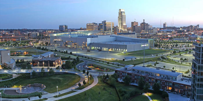
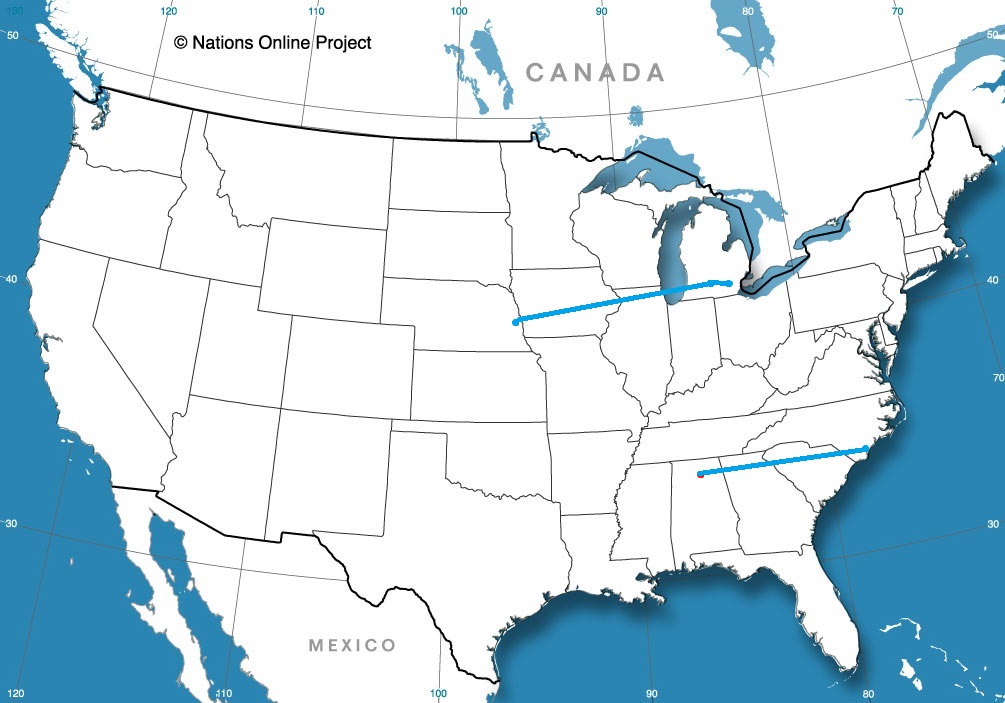
This road trip will be a little bit longer than our intra-Michigan trek yesterday, but it will still take only a day. We’ll cover 619 miles in just over 9 hours, as we skirt Chicago and pass through Des Moines into an underrated town. I think sometimes cities compensate for being in “boring” areas by being extremely interesting. Omaha is certainly interesting, and I would recommend a visit some day.
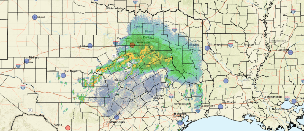
While today in Michigan is pretty nice (even though I got the road trip backwards! It was supposed to be Jackson to Battle Creek! I digress) there is a weak perturbation moving through the Upper Midwest that will change all that. Excepect some scattered showers and isolated thunderstorms to roll in to the area tomorrow evening, which means we will intercept on the way to Omaha. There will be a chance of these pop up showers – very few and far between – on the south side of Chicago, with the tail of the boundary stationary through southern Iowa. leading to scattered showers mostly south of I-80. Again, even if we see any rainshowers among the corn and Chicago traffic, they will be short lived. Potentially heavy, but short lived. Omaha is great, though, and shouild be drier than points eas.t.