It snowed in Texas

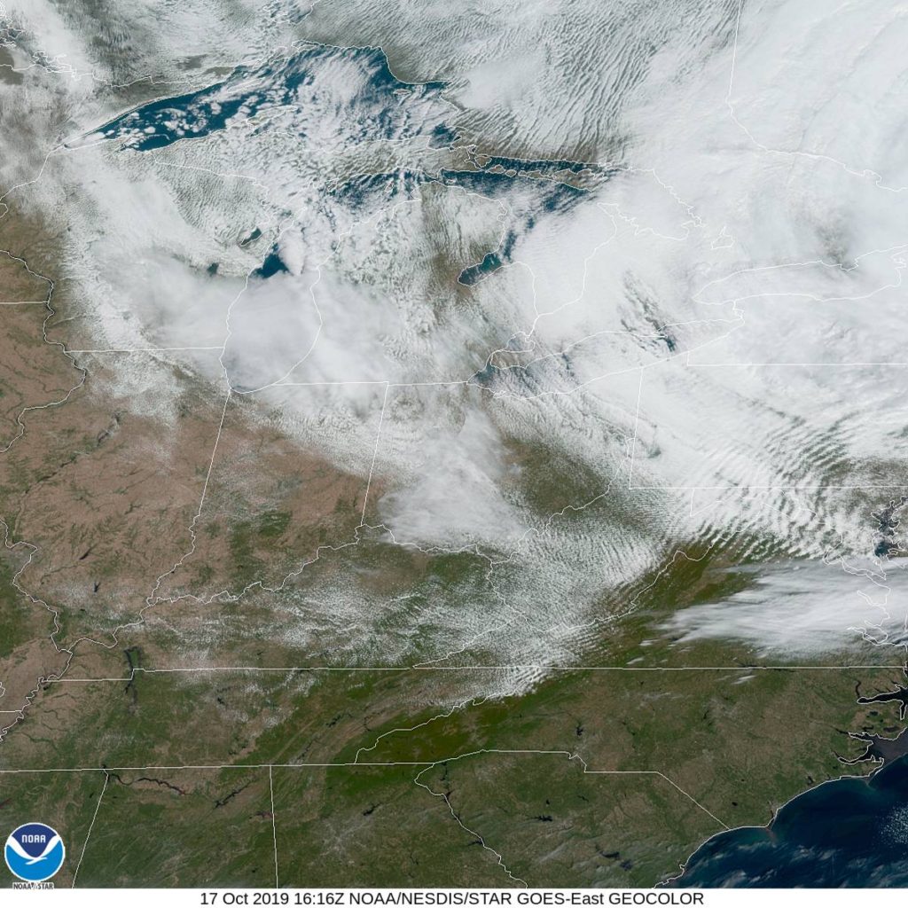
A big blast of cold air is is continuing to dive nto the High Plains , setting up a fairly chilly end to the week between the Rockies and the Mississippi. We got that that kicked off with this:

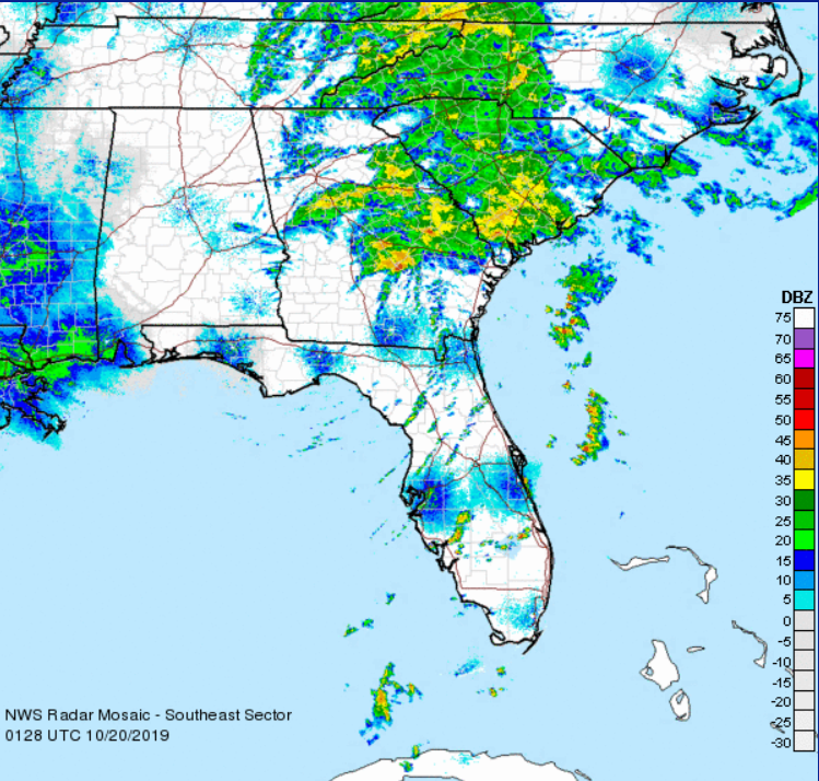
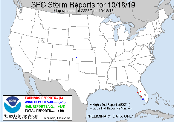
The Amarillo WFO would later report 3″ of accumulation, which is a considerable total for west Texas at any time of year, but particularly in October. The snow fell on the back end of an area of low pressure that also swept a very active line of storms as far south as Brownsville, which lead to significantly cooler temperatures in the Lone Star State.

The sharp upper level trough that is serving as a host to this system will also inform as to where the feature will progress. It’s sliding back north in the Mississippi Delta right now, abnd will continue to the Great Lakes. The jet is going to regenerate in place, and at least for the next week, temperatures will be chilly in the Plains and Mississippi Delta, save for a brief warm up tomorrow afternoon.

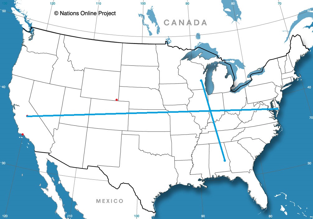
This standing trough will mean a chilly end to the month east of the Rockies, and a Halloween that requires all the princesses and Iron Men to be bundled up, but it has other insidious consequences. The stalled trough has also led to a strong area of high pressure over the Great Basin, which has fueled the dangerous Santa Ana winds that are fanning the flames around Los Angeles this month.

All that because of snow in Texas. Yeesh.

Did you forget about the clear skies?

Victoria-Weather stumbled on the forecast high last Friday in Toledo, but we came in hot for the Saturday morning lows and totally redeemed ourselves. Or should I say, we came in cold, remembering what happens with clear skies overnight, especially when coupled with a north wind. The low was even cooler than we forecast, but we had the coolest morning low on Saturday, allowing us to catch up with The Weather Channel and Accuweather, who were a bit better on that Friday high, for a three way draw.
Actuals: Friday, High 59, low 36
Saturday – High 65, Low 35

Grade: B – C

Large tornado sweeps through North Dallas

Check out this video, perhaps one of the scariest tornado captures I’ve seen.

A worst case scenario is a large tornado in a populated area, and it is compounded when it moves through at night. This super cell moved through the north Dallas suburbs in a coming together of some of the worst possible circumstances.

It could have been significantly worse though. The storm touched down just 15 miles away from AT&T Stadium, where the Dallas Cowboys were playing the Philadelphia Eagles in front of 75,000 people. In fact, despite the strength of the tornado (I’m guessing it will be at least an EF-3), and it’s long track, there were no reports of fatalities, and only 3 serious injuries.

The NWS hasn’t plotted the track anywhere yet, pending storm surveys, but in real time, the Google Maps traffic report was a good proxy for estimating the storm track:


The storm impacted many commercial areas, wrecking, in what I have seen so far, a Home Depot, a Land Cruiser dealership, and the home of the Dallas Stars’ Tyler Seguin.

The damage reports will continue to roll in, and they will likely continue to provide stark imagery. Keep an eye on the NWS Fort Worth office Twitter feed for updates on the storm surveys. As the picture of damage becomes clearer, we will likely appreciate more how lucky we were that it wasn’t worse.

Nestor slides through the Southeast

What would eventually become Tropical Storm Nestor formed late in the week, and dissipated shortly thereafter. It made landfall with a maximum sustained wind speed of 50mph. There was a storm in New England that had stronger winds than that.

Still, Nestor did provide his fair share of problems. When the center of Nestor arrived, it had been preceded by an off center, heavy batch of rain. Nestor is still a little off kilter. Note that his center in this radar image is actually around Tallahasee.

That’s a lot of rain, but certainly by looking at it, you wouldn’t say that it looks like a tropical storm, would you?

The primary impact the storm had, aside from the typical rain that comes with tropical storms, was a bout of tornadoes east of Tampa Bay. You can see where they ended up on the SPC storm reports.

There haven’t been the severe reports today out of the storm, and now that Nestor is on shore, he will continue to fall apart and get shoved back off shore.

Nestor has been pretty unremarkable storm, particularly when taken in contrast to some of the tough storms in recent years and months, but one needs only to look at the video below to understand that tropical features should always be given some respect.

Between two storms

Last weekend was a wet one in New England, and then, perhaps you heard, there was a ‘bomb’ cyclone later in this past week. As is often our luck, when we pulled the forecast for Boston, we found it between the two wet and windy spells. Temperatures were comfortable, especially without wind or rain. Speaking of comfortable, Victoria-Weather won this forecast… comfortably.
Actuals: Sunday, High 67, Low 53
Monday – High 64, Low 52

Grade : A-C

Toledo, Ohio

Fall colors are in full bloom across the Great Lakes. Are there any leaf peepers headed to northwest Ohio?

At 1152AM, ET, Toledo was reporting mostly cloudy skies with a temperature of 51 degrees. Toledo was on the back side of a strong system moving through New England, which resulted in a brisk northerly flow across the region. there was a tendril of clearer skies right over Toledo, but the back end of the clouds is over Wisconsin and Illinois.
After some clear air gets to Toledo, the primary influencer will be a tropical disturbance developing now in the Gulf of Mexico, headed northeast across north Florida towards the Carolinas, which will sap moisture from a cold front advancing through the Upper Midwest. Ahead of the front, and on the back of the tropical feature, warmer air will filter into Toledo, with clouds likely across Lake Erie.
Tomorrow – Partly cloudy, much less wind, High 56, low 35
Saturday – Partly cloudy and warmer, High 64, Low 36

TWC: Generally sunny despite a few afternoon clouds. high 56, low 36
Saturday – Generally sunny despite a few afternoon clouds., High 65, Low 38

AW: Tomorrow – Plenty of sunshine High 57, low 36
Saturday – Partly sunny and pleasant High 66, Low 38

NWS: Tomorrow – Sunny, High 55, Low 38
Saturday – Mostly sunny, High 65, Low 42

WB: Tomorrow – Areas of frost in the morning. Mostly sunny, High 56, Low 41
Saturday – Mostly sunny, High 65, Low 41

WN: Tomorrow – Mostly sunny, High 55, Low 38
Saturday – Mostly sunny, High 65, Low 42

FIO: Tomorrow – Partly cloudy throughout the day. High 57, Low 36
Saturday – Partly cloudy throughout the day. High 67, low 38

A look at the satellite shows that cloud cover at the western flank of the big storm on the east coast.

California in flames again

another autumn, another raging inferno in California. The drought ravaged state is once again in the crosshairs — Hold on, what’s that? California isn’t classified as being in a drought any longer?

The Saddle Ridge Fire is burning on the northern edge of the San Fernando Valley, safely ensconced in the “None” range of the drought monitory, as of October 10th. I assure you, a drought didn’t develop in the last few days, either. California had a very wet spring, which has allayed the drought in the area, including the San Fernando Valley.

Wildfires are a natural part of the rebirth of the southern California wilderness. It’s a very dry climate, and even if they are receiving the typical amount of precipitation, and this time of year usually features a few fires, aided by hot, brisk winds out of the Mojave, the so called Santa Ana’s. The Saddle Ridge Fre is dangerous, but it is not atypical.

This is making headlines simply because of the location. With populations growing, particularly on the west coast, these regular occurrences suddenly take on an even more menacing turn, as they start near populated areas with greater frequency, and ravage those same areas that may have been many miles away just a decade or two ago.

California is home to a host of potential disasters, and as the population continues to grow and sprawl, they become more and more likely to become catastrophes.

Boston, Massachusetts

Happy weekend, everyone! We’re going to stop in Beantown to see how life is now that we’ve finished with a nasty early season storm.

At 1254AM, ET, Boston was reporting clear skies and a temperature of 55 degrees. Some fog and clouds were settling in in the Berkshires and across Providence and South Boston, however it will be a race between clouds over the Cape and that fog, as temperatures should level off overnight if cloud cover encroaches. There is clear air over southern New England and in the Mid Atlantic, so if Boston is skirted by the clouds to the south, a foggy Sunday morning seems likely.
The dominant feature in the eastern US is a deep area of low pressure in Ontario, with an occluded front through New England and a cold front stretching to the Carolinas. Independent circulation at the occlusion will shift off shore through tomorrow morning, and will deepen into a mostly independent feature, strengthened via good jet support. The amplification looks to be underestimated by the models at this point, but is also going to remain well east of Boston, bringing perhaps some low clouds and a little bit of wind on Monday.
Tomorrow – Mostly sunny, High 66. Low 53
Monday – Mostly cloudy, High 65, Low 51

TWC: Tomorrow – Partly cloudy. High 68, Low 52
Monday – Sunshine and clouds mixed. High 67, Low 51

AW: Tomorrow – Clouds and breaks of sun High 68, Low 54
Monday – Clouds and breaks of sun, High 67, Low 52

NWS: Tomorrow – Mostly sunny, HIgh 66, Low 49
Monday – A chance of showers between 9am and noon. Partly sunny HIgh 66, Low 50

WB: Tomorrow – Mostly sunny, High 65, Low 50
Monday – Partly sunny with a 30% chance of showers, High 64, Low 51

WN: Tomorrow – Partly cloudy, HIgh 66, Low 50
Monday – Partly cloudy with scattered showers, High 66, Low 50

FIO: Tomorrow – Mostly cloudy throughout the day. High 65, Low 51
Monday – Partly cloudy throughout the day. High 63, Low 49

The NWS and friends are going for the shower potential, but it isn’t a popular forecast elsewhere. 60s seem pretty tolerable for October. Here is the satellite, with clear skies ready to move north.

Kokomo, Indiana to Bangor, Maine

Let’s go for a drive. And while we’re at it, let’s go for a drive in the fall before the Lake Effect machine gets going. It takes two days to get from northern Indiana to Maine, though the second day might be an hour longer. The distance is 1,151 miles, which we will navigate at a speed of 65.5mph, pinning us somewhere in New York to conclude day one, with the left to spare on day two.

DAY ONE (Tuesday)

By Cameronloyd03 – Own work, CC BY-SA 4.0, https://commons.wikimedia.org/w/index.php?curid=61605902

Fall is coming to the northern part of the country, and it s coming in the form of a cold front sweeping into New England as we speak. Cool high pressure is pressing into the Great Lakes, and as we leave Kokomo, we will be headed right into this high pressure. We’ll make our way through northern Ohio and drive the southern shore of Lake Erie, all with barely a cloud, and make it to Le Roy, New York, south of Rochester as we take our sole pause on the journey.

DAY TWO (Wednesday)
As that cold front gets off shore, it will phase with an upper level trough, and start development into an early season nor’easter. Terrific! Most of the drive in the Empire State will be dry, but east of Albany, the rain will start. It will be persistent and accompanied by stiff gales all the way through Massachusetts. Leaves are still on trees, so watch out for branches and debris on the roads, but as we pass through Haverhill and into New Hampshire, we will be in the clear, back into that cool, perhaps cloudy high pressure, into Bangor.

Bangor, Maine