
What would eventually become Tropical Storm Nestor formed late in the week, and dissipated shortly thereafter. It made landfall with a maximum sustained wind speed of 50mph. There was a storm in New England that had stronger winds than that.
Still, Nestor did provide his fair share of problems. When the center of Nestor arrived, it had been preceded by an off center, heavy batch of rain. Nestor is still a little off kilter. Note that his center
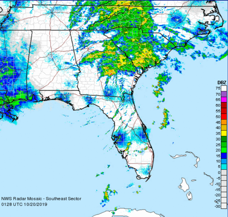
That’s a lot of rain, but certainly by looking at it, you
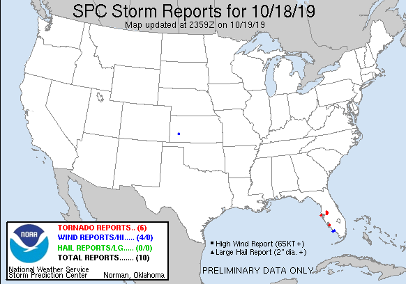
The primary impact the storm had, aside from the typical rain that comes with tropical storms, was a bout of tornadoes east of Tampa Bay. You can see where they ended up on the SPC storm reports.
There
Nestor has been pretty unremarkable storm, particularly when taken in contrast to some of the tough storms in recent years and months, but one needs only to look at the video below to understand that tropical features should always be given some respect.