Happy weekend, everyone! We’re going to stop in Beantown
At 1254AM, ET, Boston was reporting clear skies and a temperature of 55 degrees. Some fog and clouds
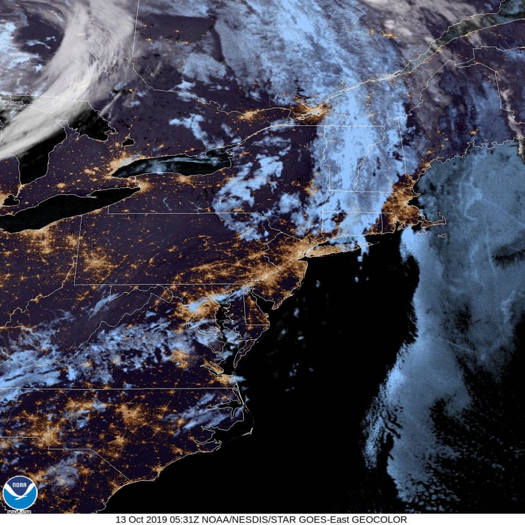
The dominant feature in the eastern US is a deep area of low pressure in Ontario, with an occluded front through New England and a cold front stretching to the Carolinas. Independent circulation at the occlusion will shift off shore through tomorrow morning, and will deepen into a mostly independent feature, strengthened via good jet support. The amplification looks to be underestimated by the models at this point, but is also going to remain well east of Boston, bringing perhaps some low clouds and a little bit of wind on Monday.
Tomorrow – Mostly sunny, High 66. Low 53
Monday – Mostly cloudy, High 65, Low 51
TWC: Tomorrow – Partly cloudy. High 68,
Monday – Sunshine and clouds mixed. High 67,
AW: Tomorrow – Clouds and breaks of sun High 68, Low 54
Monday – Clouds and breaks of sun, High 67, Low 52
NWS: Tomorrow – Mostly sunny, HIgh 66, Low 49
Monday – A chance of showers between 9am and noon. Partly sunny HIgh 66, Low 50
WB: Tomorrow – Mostly sunny, High 65, Low 50
Monday – Partly sunny with a 30% chance of showers, High 64, Low 51
WN: Tomorrow – Partly cloudy, HIgh 66, Low 50
Monday – Partly cloudy with scattered showers, High 66, Low 50
FIO: Tomorrow – Mostly cloudy throughout the day. High 65,
Monday – Partly cloudy throughout the day. High 63, Low 49
The NWS and friends are going for the shower potential, but it isn’t a popular forecast elsewhere. 60s seem pretty tolerable for October. Here is the satellite, with clear skies ready to move north.


Comment (1)