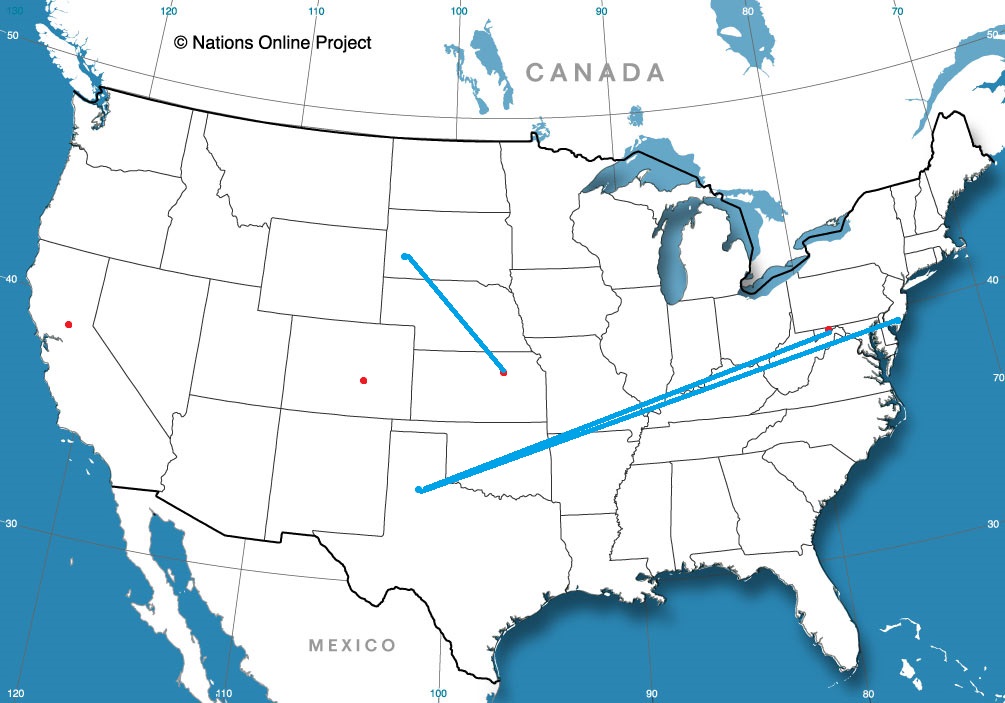
It’s been a long time since we put together a road trip. It’s for the best, as the world hasn’t been quite so navigable of late. Our drive this week will cover three days, with the third day lasting quite a bit longer than the first two. It’s 1794 miles from the New Jersey coast to west Texas, and we will cover that at an aspirational speed of about 66mph. Hopefully, we can get 532 miles out of the first two days of the trip.
DAY ONE (Thursday)

A quick little feature is shifting out of te Great Lakes today, and will pass the mid-Atlantic coast overnight tonight. By the time we start rolling on Thursday, high pressure will be strengthening over the Ohio Valley and upper Appalachians. Sunny skies, though entirely too cool for much windows down driving, will be on the order throughout our drive from the coast to our day one waypoint, Columbus, Ohio.
DAY TWO (Friday)
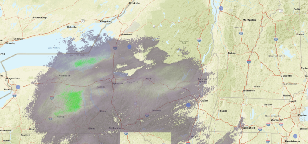
The next area of low pressure is going to move from the southern Plains and pass nearly entirely south of our route on Friday, rendering the better part of the drive dry. Towards the very tail of the day, though, an inverted trough will phase with an upper level wave from the Upper Midwest. This will produce clouds and a bit of light precipitation across a large tract of the mid and upper Mississippi Valley. This will include Missouri, and we might see a few flakes west of Rolla. We’ll stop for the night on County Road J south of Powellville, Missouri on Friday night. Don’t expect a wild nightlife.
DAY THREE (Saturday)
Any precipitation we see overnight will be insignificant to grassy areas, but it may make for some slick spots early on. Temperatures and sunshine will lead to wet and eventually dry roads pretty quickly. Expect good conditions through Oklahoma City, before it might get a little bit dicier. A bit of development is expected along a boundary in east Texas and Oklahoma, and some light rain showers are possible from there to about Wichita Falls. It will get dry again, I suspect, as we turn westward again, and on to Lubock.