
We’re headed to the northern US tonight to see what catastrophe is happing up there. Catastrophes everywhere.
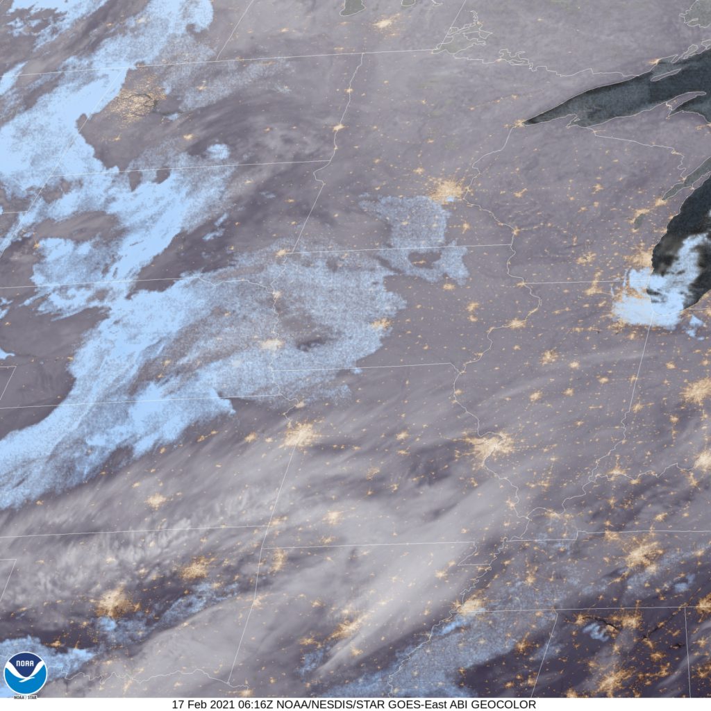
At 1153PM, ET, Dubuque was reporting clear skies and a temperature of -8. Dubuque was smack dab within the upper level trough responsible for the wild weather in the south, and the cold weather in the Plains. A feature tolling along the base of the trough is going to trigger change across the nation.
An inverted rough will be directed to the north from the advancing low in the Lower Mississippi Valley, and will pass over eastern Iowa through the day Wednesday. There won’t be a lot of moisture available to this disturbance, but with temperatures as cold as they are, big, dendritic flurries are more than possible. As the feature propagates, it will elongate, and circulation will become distorted. With less northerly flow, Thursday looks to be the first day of a true warming trajectory.
Tomorrow – Flurries, High 12, Low -10
Thursday – Warmer and partly cloudy, High 17, Low 2
TWC: Tomorrow- Partly cloudy skies during the morning hours will become overcast in the afternoon High 17, Low -9
Thursday – Partly cloudy skies. High 22, Low 1
AW: Tomorrow – Some sun, then turning cloudy and cold; a little snow this afternoon with little or no accumulation High 15, Low -5
Thursday – Cold with intervals of clouds and sunshine High 21, Low 2
NWS: Tomorrow – A 30 percent chance of snow, mainly after 2pm. Patchy fog before 8am High 14, Low -12
Thursday – Mostly sunny, High 21, Low 3
WB: Tomorrow – Mostly cloudy. Patchy fog in the morning. A 40 percent chance of light snow in the afternoon, High 13, Low -6
Thursday – Mostly sunny, High 18, Low 2
WN: Mostly cloudy, High 14, Low -12
Thursday – Partly cloudy, High 21, Low 3
FIO: Tomorrow -Overcast throughout the day. High 17, Low -11
Thursday – Foggy until morning, starting again in the evening. High 23, Low 4
Clear night in Dubuque. Brr. But at least good news is on the way.
Comment (1)