It gets hot and stays hot in the central valleys of California, but when you are butted up against the coast, on the west side of the Coastal Range, and without a corridor of wind form the Great Basin, it stays fairly cool, with clouds and sometimes, but not in the case of San Luis Obispo, a stray shower within the fog. Like I said, it was dry, and quite comfortable for our forecast at the end of July into the beginning of August. The Weather Service and WeatherNation drew level for the forecast, and anyone who strayed too far from the mid-70s ended up looking foolish. Actuals: July 31st, High 75, Low 56 August 1st, High 73, Low 54
6:47PM: It’s a pretty quiet stretch out west, even in the Rockies, where we might reasonably expect some afternoon thunderstorm activity this time of year. Instead, we are seeing the Rockies work as a pretty formidable dry line. As the jet shifts back up to the north a little bit, don’t be surprised to see some activity return to the mountains. That could happen as soon as Wednesday, and would also coincide with the Great Lakes finally drying out. (Not the lakes, but the towns surrounding them).
1130PM: There is a pretty gnarly looking cluster of thunderstorms, that, if nothing else, is producing a heck of a lot of lightning in the Clovis, New Mexico area. It would be jarring for a lot of places, but this qualifies as run of the mill for this time of year in this part of the country. Do they sleep along the Texas/New Mexico border?
This drive has all the elements of what I think makes a good road trip. It will take one long day, following only a couple of interstates. There is one major metro area to drive through, but also a long stretch in the open country. It will take nearly 10 hours to cover the 658 miles between our two destinations, covering the ground at a pace of 66.2mph. Hopefully traffic in Dallas-Fort Worth is forgiving.
Pine Bluff, Arkansas
Arkansas is going to be downright juicy on Thursday. Humidity will see dew points in the mid to upper 70s, and while guidance suggests most of the rain and thunder will be from Mississippi eastward, I wouldn’t rule it out during our drive to Texarkana. In fact, I would venture to say that the heavy atmosphere might lend itself to a stray storm as far west as Mount Vernon, Texas. The dew points will relent a bit west of Dallas, but the heat will still be there all the way in to Midland.
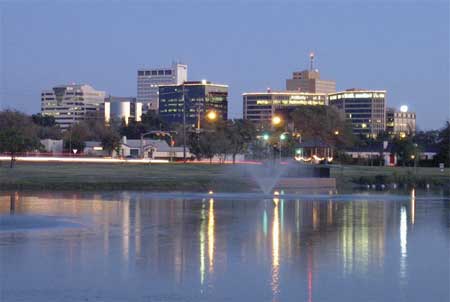
Midland, despite it’s name, is not really in the middle of anything, except, perhaps “nowhere”. Fairly isolated in west Texas, save for a proximity to Odessa. Let’s see if they can look forward to anything more than dust.
At 353PM, CT, Midland was reporting a temperature of 96 degrees with fair skies. Midland was northwest of the dry line, with a dew point in the upper 50s, compared to the dew point in Brownwood and Stephenville, which sat in the 70s. A local eddy was still producing some showers behind the primary dry line, notably over the southeastern corner of New Mexico. The trough related showers and storms over the High Plains will become less active as a storm system in the Canadian Prairie moves towards the northern Great Lakes. Onshore flow from the Gulf will still be present, and showers will be likely over south Texas, but the end of the work week should be dry in Midland. Tomorrow – Mostly sunny, High 100, Low 74 Friday – Mostly sunny, High 99, Low 75
TWC: Tomorrow – Partly cloudy, High 100, Low 74 Friday – Intervals of clouds and sunshine, High 97, Low 76
AW: Tomorrow – Breezy in the morning; otherwise, hot with sunshine mixing with some clouds; High 100, Low 75 Friday – Breezy and very warm with periods of clouds and sunshine High 99, Low 77
NWS: Tomorrow – Sunny, High 98, Low 74 Friday – Sunny, High 97, Low 76
WB: Tomorrow – Sunny, High 97, Low 76 Friday – Sunny, High 94, Low 77
WN: Tomorrow – Mostly sunny, High 98, Low 74 Friday – Mostly sunny, High 97, Low 76
CLI: Tomorrow – Sunny, High 98, Low 74 Friday – Partly cloudy, High 97, Low 75
Those showers in New Mexico dissipated before I took the image of the satellite. But storms in Texas are still roaring tonight, not threatening Midland at all.
4:12PM: The images our of southeast Wisconsin have been something else. Flash flooding has come to the region thanks to slow moving, high precipitation storms, moving through high population areas. That same set up is still stretched across the south side of Lake Michigan. There are flash flood watches and warnings over Chicago, particularly on the south side of town.
8:03PM: It’s been a quite humid year, if you haven’t been around…. or if you live in the Great Basin. Nevada, most specifically, has been quite a bit less humid than it is typically this summer.
9:20PM: Dew points are still high in Arkansas… but not as high as they’ve been! They are even in the 60s in the Ozarks tonight. This likely has something to do with the outflow from storms to the northwest, because dew points aren’t that low elsewhere.
11:01: This is pretty much what an August 10th severe weather outlook is supposed to look like. Nothing particularly noteworthy, save for the expanse that the storm activity is covering.
8:54PM: This is from the NWS – Wilmington, OH. A lot of our past few posts have focused on humidity, and, well….
9:33PM: Look at these monster cells surrounding Goodland, Kansas. Big hail is the big concern.
1159PM: Those storms noted in the prior update are along a boundary best illustrated by the dew points. It’s still in the 70s across our prior forecast region of Pine Bluff, and it is in the 50s to the north of this thunderstorm activity. I think if there is one complaint about these storms it is that they aren’t moving fast enough.
The end of July and beginning of August was a particularly stormy time for the north central US. It wasn’t all bad though, because it sure wiped out the heat wave that had buffeted the country. In Danville, temperatures on the 30th were near 90. After storms rolled through overnight, the 31st saw a high temperature of only 75. The dew point was still fairly warm, but that’s significantly more comfortable (were it not for the lingering smoke from the Canadian wildfires.) Never fear, summer isn’t over yet, and it is getting hot once again. The Weather Channel never cooled off, and won their third forecast in a row. Actuals: July 30th, .02″ of rain, High 89, Low 69 July 31st, .29″ of rain, High 75, Low 64
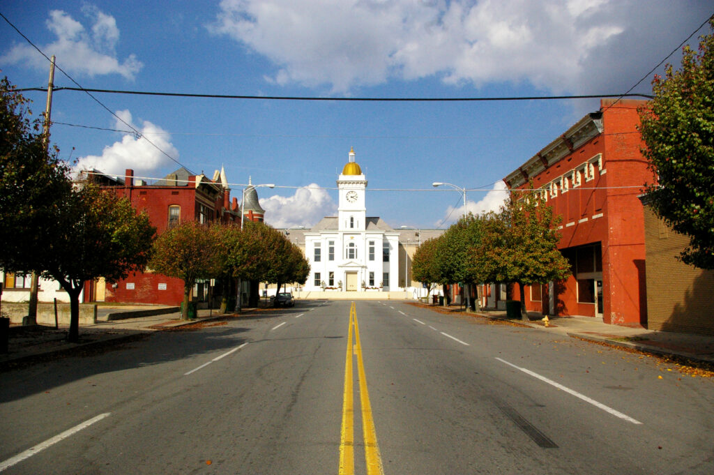
Our forecast today is taking us to central Arkansas. It’s not quite the Ozarks, not quite the Mississippi Valley, it’s Pine Bluff!
At 753PM, CT, Pine Bluff was reporting a temperature of 84 degrees, with dew points in the low 70s. The high dew points were not enough to trigger isolated thunderstorms across the region, with a weak upper ridge nosing into the region, suppressing flow in any direction. Guidance is fairly consistent about lee troughing emerging as the week draws to an end. If anything, this will mean even more humidity, this time from the Gulf, rather than augmented by the woods of the Ozarks, and at all levels. While precipitation isn’t expected, there is an increased level of clouds by Friday. Tomorrow – Mostly sunny, high 91, Low 70 Friday – Partly cloudy, High 96, Low 71
TWC: Tomorrow – Sunshine. High 97, Low 71 Friday – Sunshine. High 98, Low 73
AW: Tomorrow – Mostly sunny High 96, Low 70 Friday – Plenty of sunshine High 96. Los 71
NWS: Tomorrow – Sunny, High 96, Low 71 Friday – Sunny and hot, High 97, Low 71
WB: Tomorrow – Sunny. High 94, Low 75 Friday – Sunny. High 92, Low 73
WN: Tomorrow – Mostly sunny, High 96, Low 71 Friday – Mostly sunny, High 97, Low 71
CLI: Tomorrow – Sunny, High 96, Low 71 Friday – Sunny, High 98, Low 72
It looks fairly quiet on radar over Arkansas. Those storms aren’t going to be working north any time soon.
10:52PM: This is a very late summer pattern right now, with severe weather most prominent in the northern High Plains, day after day. There is a slight risk 3 of the next four days (including today) that covers some part of the Dakotas. They’ve recently had some dry summers, so it isn’t all bad!