As we head into the weekend, how about a nice little drive through the mountains? Our drive will cover only 4 and a half hours and 276 miles. That’s a pace of 62 winding miles through the Appalachians and Smoky Mountains.
Burlington, North Carolina
This drive will take us north into Virginia so we can hitch a ride on I-81 and head into Morristown. There are going to be a pair of competing forces, including a weak area of low pressure in the Bight of Georgia, and a distant boundary in the Plains. They will have the same effect on either side of the mountain ridge: upslope winds, leading to scattered showers and storms. It will be showery for every leg of the drive on Saturday, but it won’t be a washout. It’s often rainy in this part of the world anyway, so we can’t complain a whole lot. The latter half of the weekend will be sunnier and warmer in Morristown.
It’s time to journey to the mountains of eastern Tennessee this afternoon. Technically, I think it’s also northern Tennessee, but who can even say? It’s in that little finger pointing at the Virginia/North Carolina border.
At 1215PM, ET, Morristown was reporting a temperature of 86 degrees with clear skies. The tail of a remnant boundary was lingering over the Carolinas, and the Gulf was open to the Ohio Valley. Showers and scattered storms will be possible through the afternoon across the region, though Morristown should remain dry, thanks to the position of the town north and west of the Smokeys, however eyes should stay on the next feature moving into the Northern Plains. As the boundary moves into the Upper Midwest, flow will redirect to become lightly southwesterly. The boundary itself will remain over the Great Lakes, but the moisture over the southeast will waft towards Morristown. There will be a chance of light showers on Saturday afternoon. As the feature shifts further east, the Gulf will close off, and clear skies will return to eastern Tennessee. Tomorrow – Mostly cloudy, chance of afternoon showers, High 80, Low 69 Sunday – Early cloudy, then sunny, High 86, Low 68
TWC: Tomorrow – Scattered thunderstorms in the morning, then mainly cloudy during the afternoon High 81, Low 69 Sunday – Partly cloudy. A stray shower or thunderstorm is possible High 88, Low 66
AW: Tomorrow – Times of clouds and sun with a couple of showers and a thunderstorm; humid; thunderstorms can bring gusty winds and ponding on roadways High 81, Low 69 Sunday – Times of clouds and sun with widely separated thunderstorms; humid High 85, Low 69
NWS: Tomorrow – A chance of showers and thunderstorms, then showers likely and possibly a thunderstorm after 2pm. Cloudy, then gradually becoming mostly sunny High 86, Low 69 Sunday – A 30 percent chance of showers, mainly before 8am. Mostly sunny, High 87, Low 67
WB: Tomorrow – Mostly cloudy with a chance of showers with a slight chance of thunderstorms in the morning, then showers with a chance of thunderstorms in the afternoon. High 81, Low 71 Sunday – Mostly sunny. A slight chance of showers in the morning. High 87, Low 70
WN: Tomorrow – Mostly cloudy with light showers and a chance of storms, High 86, Low 69 Sunday – Partly cloudy with scattered showers, High 87, Low 67
CLI: Tomorrow – Thunderstorm, High 82, Low 70 Sunday – Light rain showers, High 87, Low 69
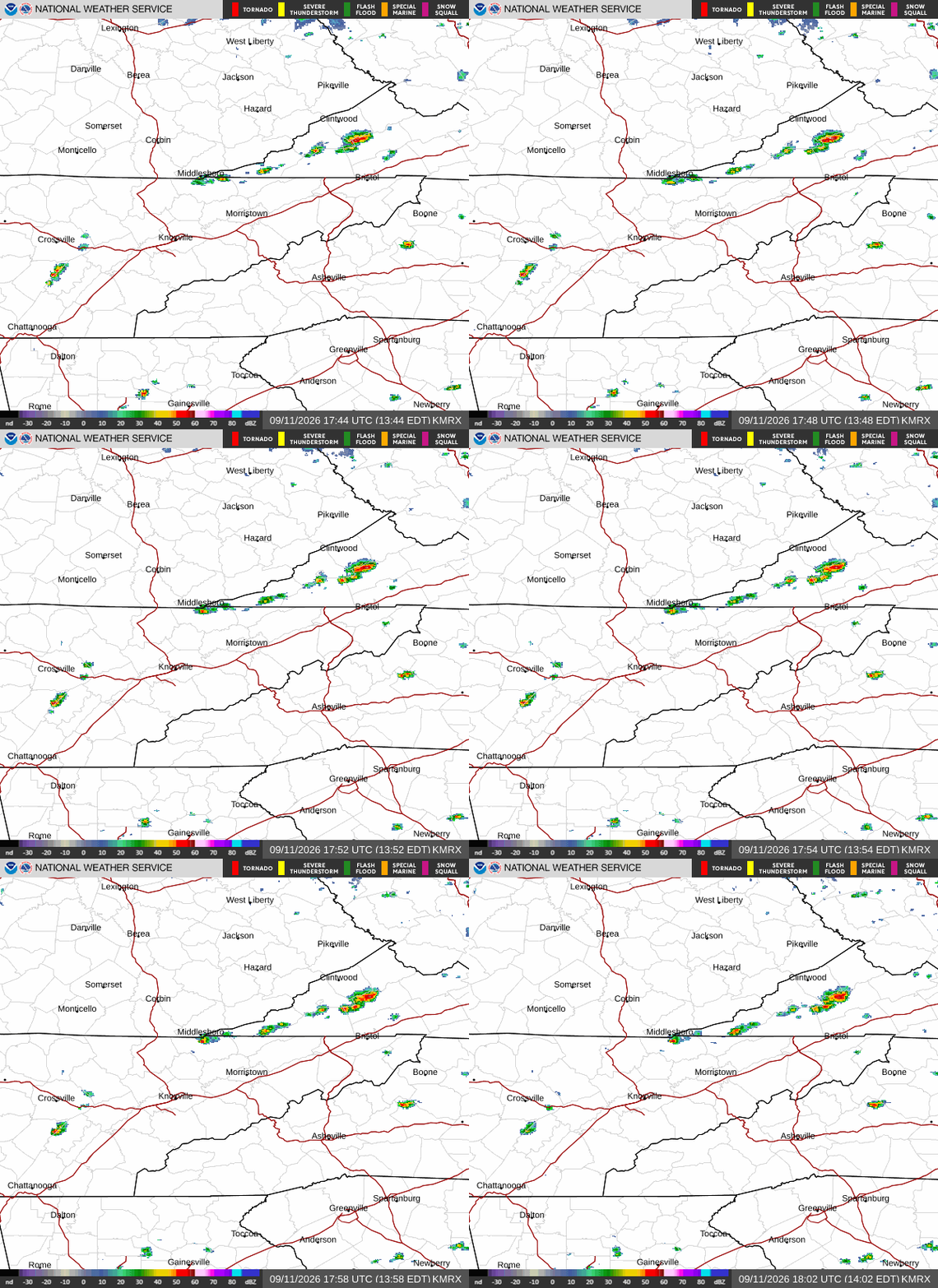
I’m surprised the other outlets are calling for rain on Sunday. It seems like it will be a bit of a challenge. Here is the radar, showing a couple of pop up storms in southern Kentucky.