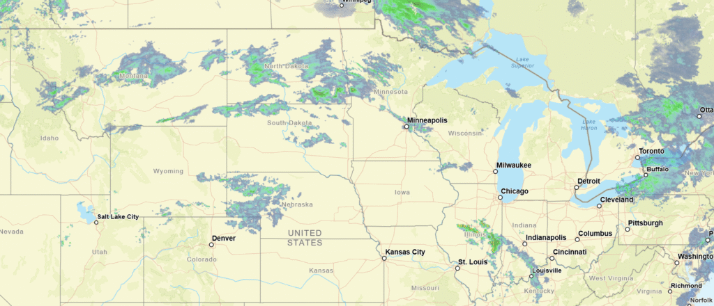
Take a look at the hail forecast from the SPC, issued for Monday. There is a swath of the Great Lakes that will see a threat for hail tomorrow.
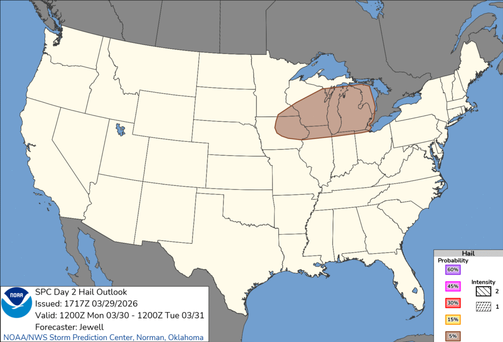
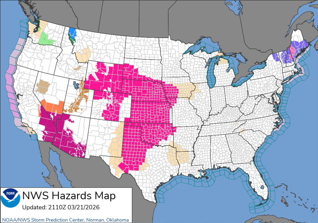
There are two things to call out, design wise. First, perhaps most obviously, the color scale has changed to a creamier tone. The scale is distinctive, and particularly well defined on the general severe weather outlook. It’s easier on the eyes.
The other addition is in the bottom right corner. The individual hazards have always had a probability scale, but now, there is also an intensity scale for for every type of severe weather. There is no intense hail coming tomorrow, and in fact, it is just a marginal risk for severe weather overall. Better believe I’ll feature an outlook later this summer with forecasts for intense severe weather. You can look ahead though, these new maps are live already.