My favorite weather related fun fact about Huntsville is that it is the Weather Service office with the smallest geographic footprint. This is because of the preponderance of severe weather, but also because of the historic technical aptitude and home of the space program.
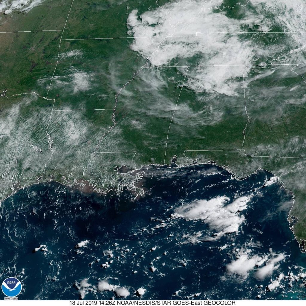
At 853AM, CT, Huntsville was reporting cloudy skies and a temperature of 75 degrees. More importantly, they were also reporting a dew point of 72, ensuring that the morning would have a fairly damp feel, thanks to lingering fog and morning dew and condensation. There was a weak pressure trough in central Tennessee that was kicking up clouds across the region, but they are expected to shift swiftly out of the area, rendering the Huntsville area, along with most of the southeast, extremely warm for the rest of the day.
Low pressure is camped out in eastern Canada and the north Atlantic, without any real plans to leave. This will force a steady southwesterly flow, drawing Gulf moisture through the already sultry air, leaving a persistent threat of afternoon showers and thunderstorms in the region. These are likely to be a blessing, as they should relive some of the heat.
Tomorrow – Scattered thunderstorms, High 91, Low 72
Saturday – Scattered thunderstorms, High 89, Low 72
TWC: Tomorrow – Partly cloudy early. Scattered thunderstorms developing in the afternoon.High 91, Low 73
Saturday – Scattered thunderstorms High 87, Low 73
AW: Tomorrow – Partly sunny (PM storms) High 91, low 73
Saturday – Intervals of clouds and sun, a couple of thunderstorms around High 87, low 73
NWS: Tomorrow – A 30 percent chance of showers and thunderstorms, mainly after 2pm. Partly sunny high 94, Low 74
Saturday – A 50 percent chance of showers and thunderstorms, mainly after 2pm. Partly sunny High 93, low 75
WB: Tomorrow – Partly cloudy, scattered showers and isolated thunderstorms in the afternoon High 90, Low 77
Saturday – Partly cloudy, scattered showers and thunderstorms in the morning and numerous showers and thunderstorms in the afternoon, high 88, low 77
WN: Tomorrow – Partly cloudy with isolated thunderstorms, high 94, low 74
Saturday – Partly cloudy with scattered thunderstorms, High 93, Low 74
FIO: Tomorrow – Possible light rain tomorrow evening.High 90, Low 74
Saturday – Possible light rain in the evening. High 87, Low 73
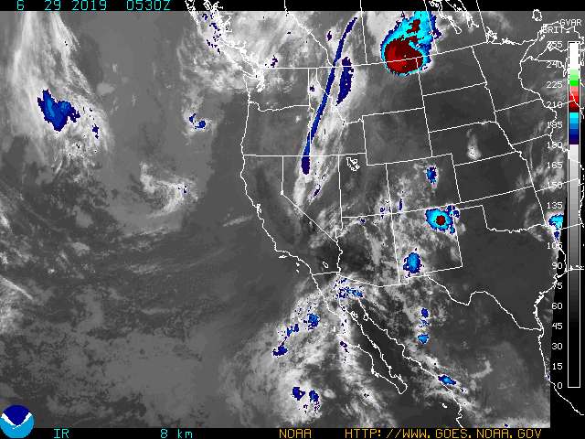
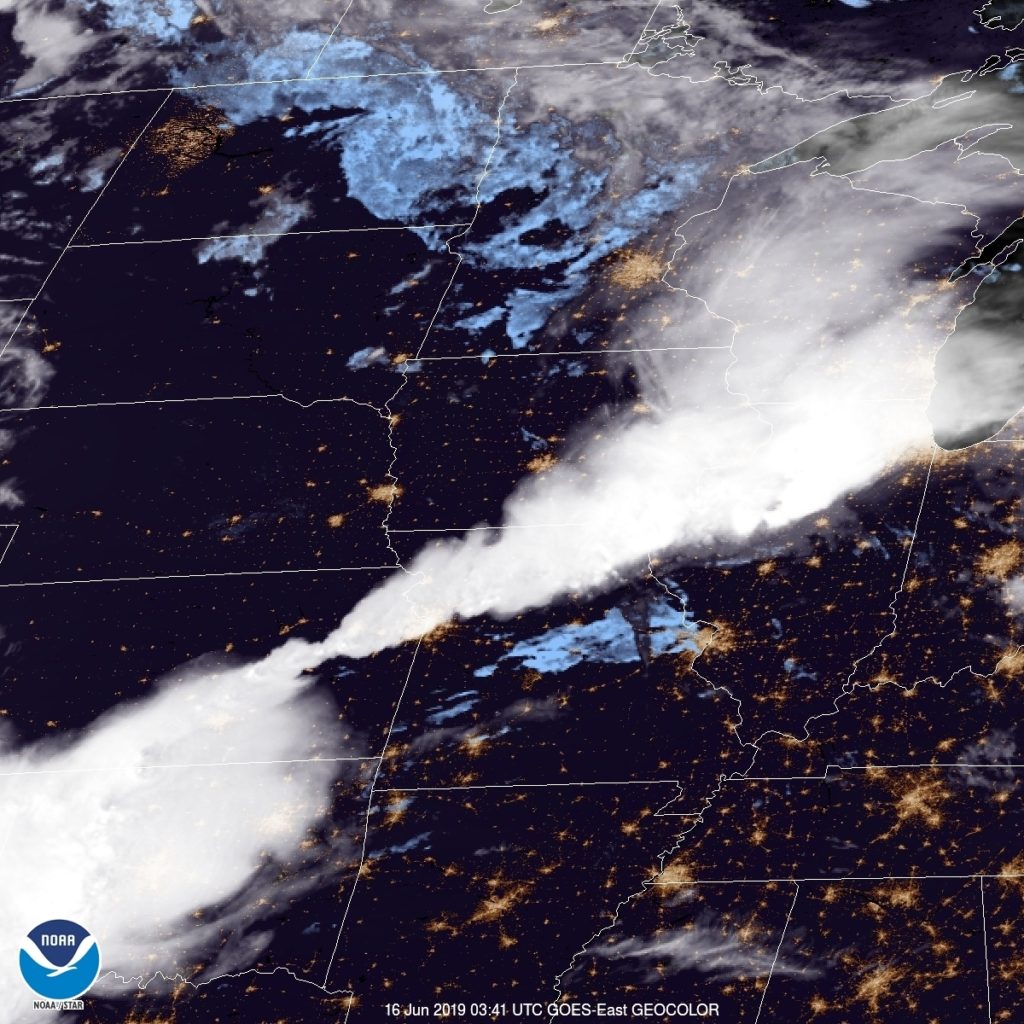
the GFS and NAM are fairly different in temperature forecasting, and there is a similar discrepancy in forecasts. The NAM is warmer, suggesting fewer storms, but the GFS anticipates more cloud cover. Which will play out? I split the difference, like a coward. Here is that satellite, showing the current clouds in Tennessee and north Alabama.