
It’s always a special day when we forecast for Victoria, because I get to remind everyone that the site is named this because I am from the version in Minnesota.
At 751PM, CT, Victoria was reporting a temperature of 71 degrees with fair skies and a brisk onshore wind, gusting over 30mph. An upper level ridge is settling into place over the region, which will help temper the wind and allow temperatures to climb through the region.
While there won’t be a significant change to the weather on Monday, there will be a change nevertheless. Low pressure developing in the Colorado Rockies will emerge into the Plains on Monday afternoon, drawing air towards it, including moisture rich air off the Gulf coming through Victoria, making the day a bit cloudier and a bit stickier.
Tomorrow – Partly cloudy, High 84, Low 66
Monday – Cloudier and more humid, High 82, Low 69
TWC: Tomorrow – Sunshine and clouds mixed. High 83, Low 65
Monday – Cloudy with gusty winds developing during the afternoon. High 82, Low 69
AW: Tomorrow – Breezy with times of clouds and sun High 83, Low 65
Monday – Increasingly windy; cloudy in the morning, then intervals of clouds and sunshine in the afternoon High 79, Low 68
NWS: Tomorrow – Partly sunny, High 80, Low 65
Monday – Mostly cloudy High 80, Low 67
WB: Tomorrow – Mostly cloudy in the morning, becoming partly cloudy, High 82, Low 65
Monday – Mostly cloudy, High 79, Low 68
WN: Tomorrow – Partly cloudy, High 80, Low 66
Monday – Mostly cloudy, High 80, Low 68
CLI – Partly cloudy High 82, Low 64
Monday – Light rain showers High 82, Low 68
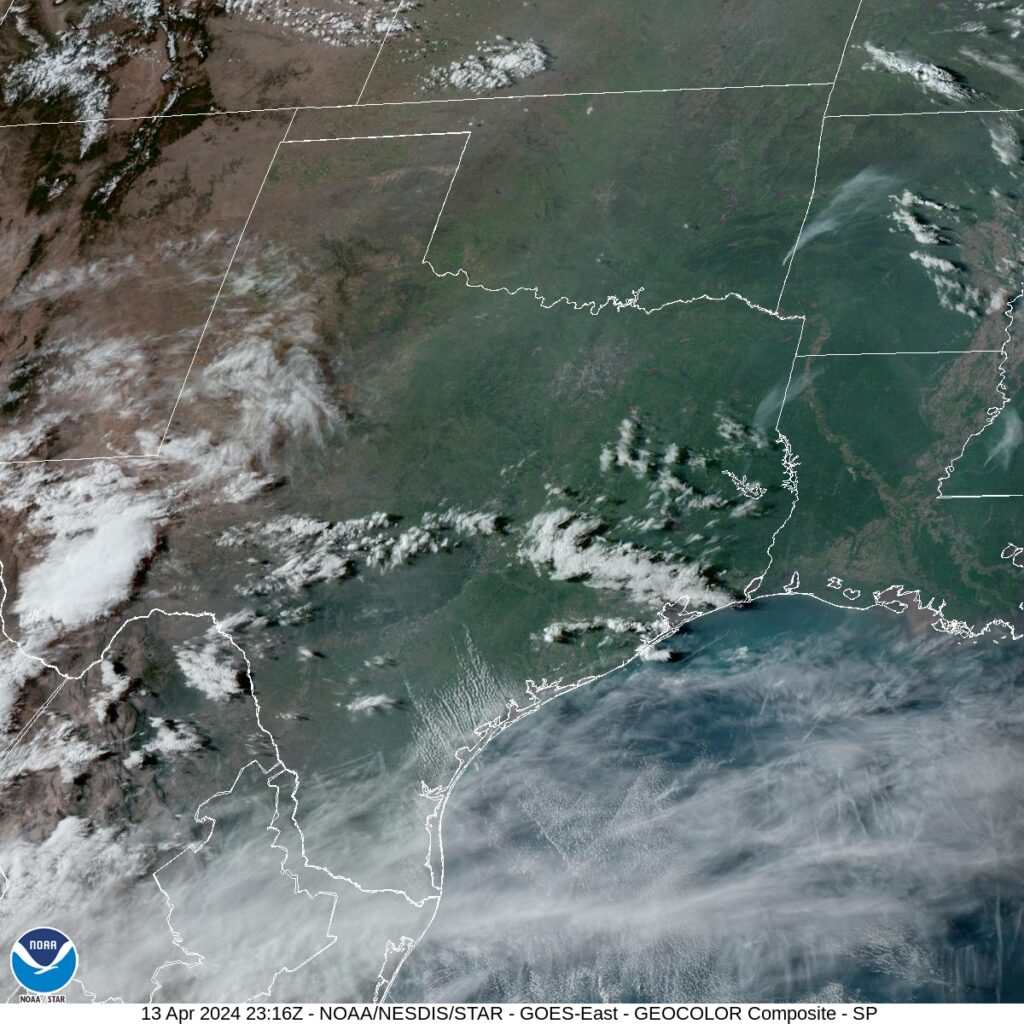
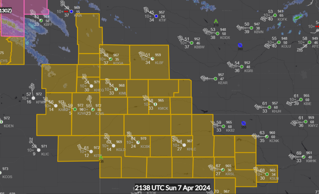
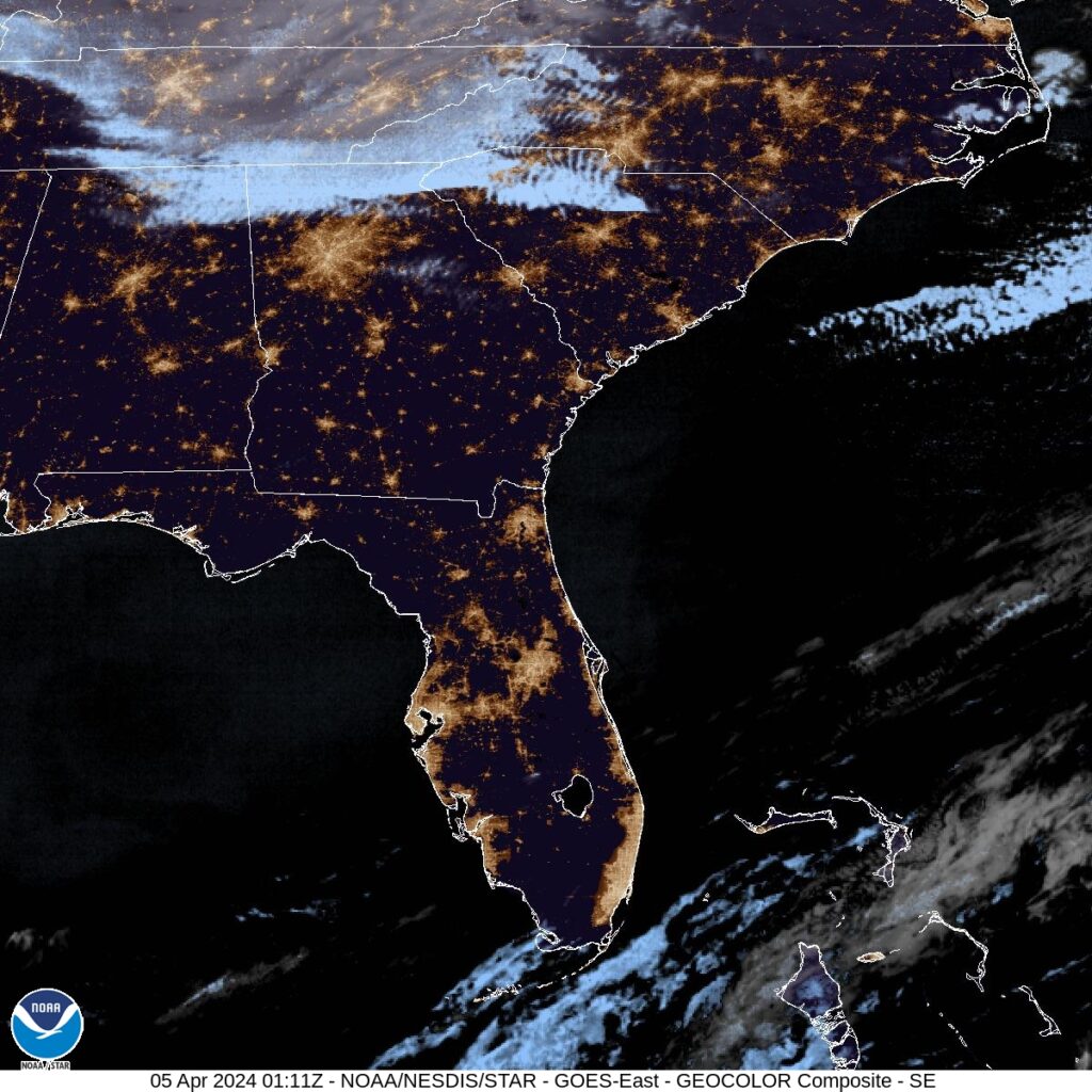
Clime is the only outlet calling for rain on Monday. I don’t think the moisture will be that rich. Take a look at the clear overhead radar in the area right now.