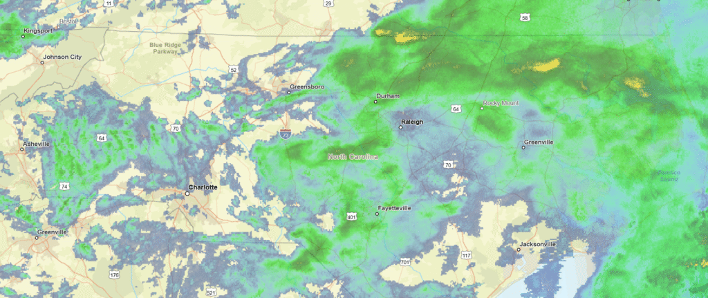
Durham is one of the three members of the “Research Triangle” in eastern North Carolina, and is famous also for being the home of Duke University, who have historically had a strong basketball program.
At 815PM, ET, Durham was reporting a temperature of 52 degrees with rain. There was an area of low pressure off the coast of South Carolina, and to say the least, it has been a robust rain producer, and almost the entire state east of the mountains was experiencing rain this evening. The feature is associated with a robust seasonal jet stream, and will shift into the north Atlantic, where it will help to establish a steering mechanism to keep Hurricane Melissa away from the US mainland.
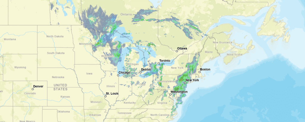
The pattern across the US is quite active this week. While rain will diminish by late on Tuesday, but a deeper digging trough with it’s own area of surface low pressure will be sliding through the southern US. By Wednesday, the stalled boundary associated with the low in the Atlantic will link with the rising warm front, bringing rain back into the forecast for the morning. Wednesday will see temperatures pop a bit, with some thunderstorms coming in after sunset.
Tomorrow – Showers through the day, High 50, Low 47
Wednesday – Rain early, then some thunder late, High 58, Low 48
TWC: Tomorrow – Rain, High 51, Low 48
Wednesday – Considerable cloudiness with occasional rain showers. High 56, Low 46
AW: Tomorrow – Breezy and cool with rain High 51, Low 46
Wednesday – Occasional rain and drizzle in the morning followed by periods of rain and a thunderstorm in the afternoon High 57, Low 47
NWS: Tomorrow – Rain. High 52, Low 47
Wednesday – Rain likely before 8am, then showers likely, mainly after 2pm. Cloudy, High 58, Low 47
WB: Tomorrow – Rain. High 53, Low 48
Wednesday – Rain likely with areas of drizzle in the morning then showers likely in the afternoon High 55, Low 47
WN: Tomorrow – Cloudy with showers, High 52, Low 47
Wednesday – Mostly cloudy with rain likely, High 58, Low 47
CLI: Tomorrow – Rain showers, High 51, Low 47
Wednesday – Rain Showers, High 55, Low 47
Sorry, Durham. Wish I had better news for you. Look at all this rain!